


Category: Found on the Internet
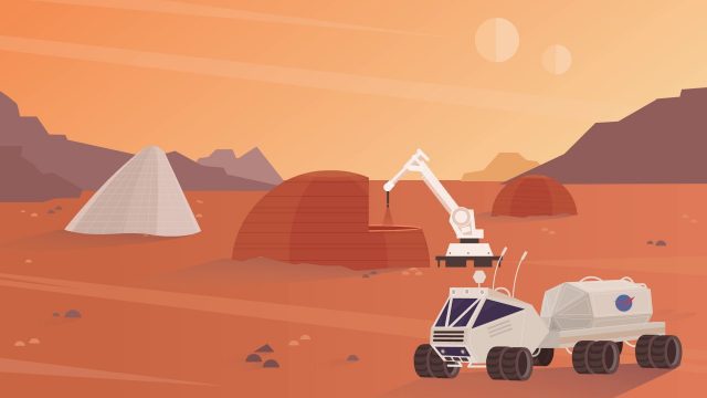
NASA’s 3-D Printed Habitat Challenge
0 Views0 Comments0 Likes
NASA Centennial Challenges wants YOUR help building a 3-D printed habitat on Mars. NASA and its partners are holding a $2.5 million competition to build a 3D printed habitat for deep space exploration, including the agency’s journey to Mars.
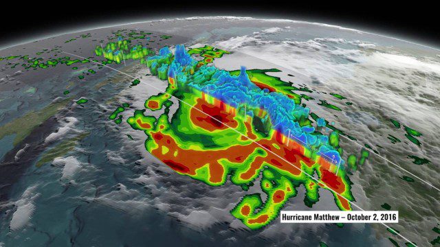
NASA’s 3D View Shows Hurricane Matthew’s Intensity
0 Views0 Comments0 Likes
NASA scientists used satellite data to peer into Hurricane Matthew, learning how and why the massive storm changed throughout its course.
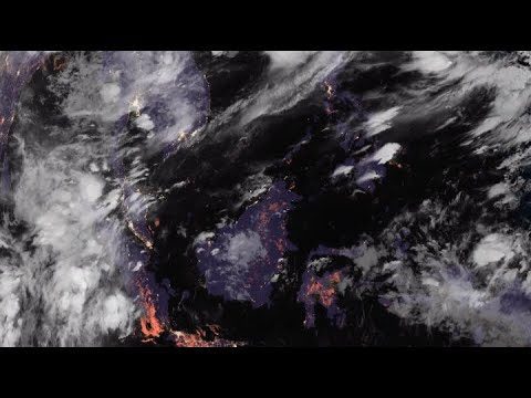
NASA’s CAMP2Ex Heads to the Philippines for Monsoon Season
0 Views0 Comments0 Likes
NASA, the Naval Research Laboratory and the Manila Observatory are working together in the Philippines to study how tiny particles in the atmosphere affect cloud formation.
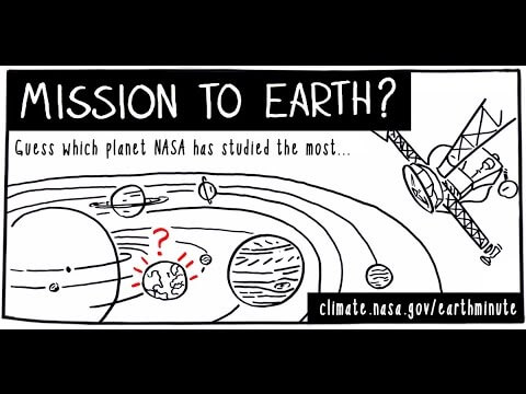
NASA’s Earth Minute: Mission to Earth?
0 Views0 Comments0 Likes
NASA doesn't just explore outer space! Since 1959, with the launch of the first weather satellite, NASA has been studying our home planet on a global scale. NASA monitors Earth's vital signs via satellites and airplanes, sends scientists to the far corners of the land and under the ocean, and develops computer models of Earth's climate processes. Why? Because Earth is the only planet that nearly eight billion people call "home sweet home."
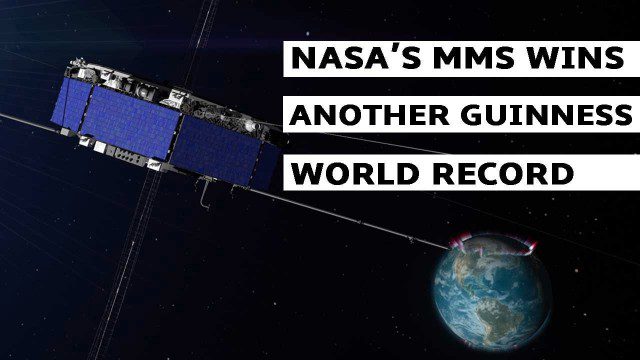
NASA’s MMS Satellite Breaks World GPS Record
0 Views0 Comments0 Likes
NASA's MMS mission now holds the Guinness World Record for highest altitude GPS fix: 43,500 miles above Earth’s surface.
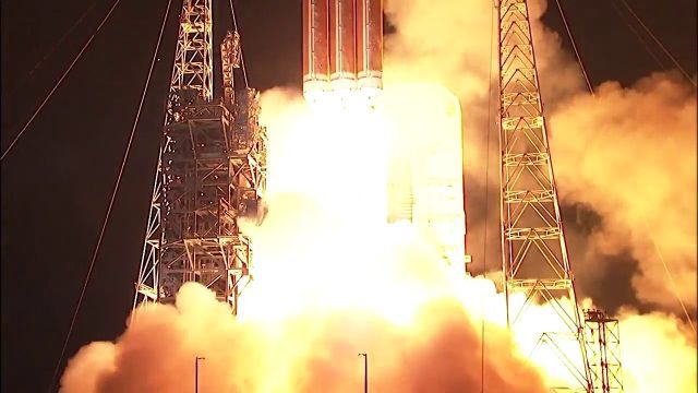
NASA’s Parker Solar Probe Mission Launches to Touch the Sun
0 Views0 Comments0 Likes
NASA’s Parker Solar Probe mission launched Aug. 11 from Cape Canaveral Air Force Station in Florida. The mission will be the first to fly directly through the Sun’s corona – the hazardous region of intense heat and solar radiation in the Sun’s atmosphere that is visible during an eclipse.

NASA’s Top 17 Earth From Space Images of 2017
0 Views0 Comments0 Likes
The people at the Earth Science and Remote Sensing Unit at NASA’s Johnson Space Center in Houston had the enviable job of going through this year’s crop to pick their top 17 photos of Earth for 2017—here’s what they chose!
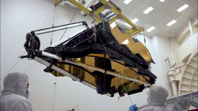
NASA’s James Webb Space Telescope Arrives
0 Views0 Comments0 Likes
The optical telescope and integrated science instrument module (OTIS) of NASA's James Webb Space Telescope arrived at Northrop Grumman Aerospace Systems in Redondo Beach, California, on Friday, Feb. 2.

NASA/JAXA GMI Sensor for Precipitation Measurement
0 Views0 Comments0 Likes
On March 10, the Core Observatory passed over an extra-tropical cyclone On March 10, the Core Observatory passed over an extra-tropical cyclone about 1055 miles (1700 kilometers) due east of Japan's Honshu Island. Satellite data shows the full range of precipitation in the storm.

National Forest Monitoring and Assessment Program
0 Views0 Comments0 Likes
The National Forest Monitoring and Assessment program.


