
Browse Archives
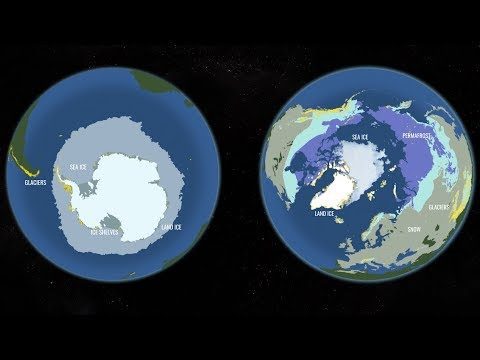
Two New Satellites Set to Study One of Earth’s Most Critically Changing Regions
0 Views0 Comments0 Likes
In 2018, NASA will intensify its focus on one of the most critical but remote parts of our changing planet with the launch of two new satellite missions and an array of airborne campaigns.
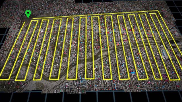
UAV-Based Aerial Mapping of Ulaanbaatar
0 Views0 Comments0 Likes
Working with the City of Ulaanbaatar, The Asia Foundation collected high-quality imagery and elevation data for the city using Unmanned Aerial Vehicles (UAVs) and earth-imaging satellites. These high-resolution images were used to create detailed maps complete with elevation data; labeled neighborhoods, roads, buildings, landmarks, and other features.

Ulf Mansson Moving Geodata to Minecraft
0 Views0 Comments0 Likes
Ulf Mansson, senior project manager for SWECO, has more than 20 years of experience in the geospatial industry. In 2013, he invented a method to stream geodata into the game Minecraft. On behalf of V1 Media, Informed Infrastructure and GeoSpatial Stream, Todd Danielson interviewed Mansson at the Geodesign Summit 2015 in Redlands, Calif.

Ultra High Definition (4K) View of Planet Earth
0 Views0 Comments0 Likes
NASA monitors Earth's vital signs from land, air and space with a fleet of satellites and ambitious airborne and ground-based observation campaigns.

Understanding GIS – An Overview
0 Views0 Comments0 Likes
Geographic Information Systems are used by professionals and academics all over the world to investigate problems ranging from the spread of disease to the damage caused by hurricanes. Learn more about the University of Michigan-Flint's GIS Certificate by visiting umflint.edu/gis/gis-center

Unleashing the Power of Earth Observations
0 Views0 Comments0 Likes
What do we see when we look at the Earth, and what do these observations mean for the years ahead? Barbara Ryan, secretariat director of the Intergovernmental Group on Earth Observations (GEO), discusses this Geneva-based, voluntary partnership of governments and organizations dedicated to coordinated, comprehensive, and sustained Earth observations and information — sharing what scientific observers worldwide are learning about the state and health of planet Earth.
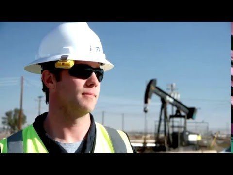
Unmanned Flights Take to San Joaquin Valley Skies
0 Views0 Comments0 Likes
In the San Joaquin Valley, Chevron launched unmanned aerial systems above its Coalinga Field to capture high-resolution and thermal imagery as part of a pilot project to incorporate the technology in its day-to-day field operations.
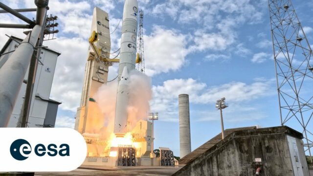
Up Close and Personal: Ariane 6 Liftoff From the Launchpad
0 Views0 Comments0 Likes
After years of preparations, the Vulcain main stage engine ignites, arms providing cryogenic fuels to the rocket until the very last moment retract and boosters fire – Ariane 6 is space-bound. As it lifts off, vast am...

Urban Ecology
0 Views0 Comments0 Likes
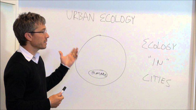
Urban Ecology
0 Views0 Comments0 Likes
An assistant professor at the New School in New York discusses and explains urban ecology.


