
Browse Archives

Urban Heat Risk Explorer
0 Views0 Comments0 Likes
Helping cities prepare for, respond to, and recover from extreme heat events, the app provides users with a better understanding of heat risks in cities and communicates with users on ways they can protect themselves during extreme heat events.
URISA Ready for Upcoming GIS-Pro Event in New Orleans
0 Views0 Comments0 Likes
Todd Danielson interviews Amy Esnard, Conference Chair for URISA's GIS-Pro event being held Sept. 8-11, 2014, in New Orleans. They discuss URISA's goals for the event, the benefits of hosting the event in New Orleans, the conference theme of "Community Resilience," and some expected program and social highlights.
URISA’s GIS-Pro 2014: Big Results in Big Easy
0 Views2 Comments0 Likes
URISA's GIS-Pro 2014 was held Sept. 8-11, 2014, in New Orleans. Todd Danielson, GeoSpatial Stream publisher, was at the event and created this video recap.
USAFA Reality Capture Showcase: Lt. Col. Patrick Suermann
0 Views0 Comments0 Likes
V1 Media was at the U.S. Air Force Academy (USAFA) Reality Capture Showcase at the Department of Civil and Environmental Engineering, interviewing Lt. Col. Patrick Suermann, Construction Division Chair.
USAFA Reality Capture Showcase: Pete Kelsey, Autodesk
0 Views0 Comments0 Likes
V1 Media was at the U.S. Air Force Academy (USAFA) Reality Capture Showcase at the Department of Civil and Environmental Engineering, interviewing Pete Kelsey, Strategic Projects Executive, Autodesk.
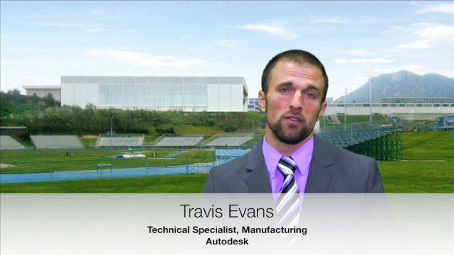
USAFA Reality Capture Showcase: Travis Evans, Autodesk
0 Views0 Comments0 Likes
V1 Media was at the U.S. Air Force Academy (USAFA) Reality Capture Showcase at the Department of Civil and Environmental Engineering, interviewing Travis Evans, Technical Specialist, Manufacturing, Autodesk.
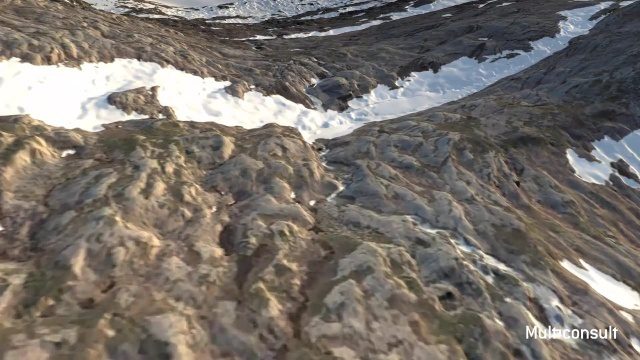
Use of InfraWorks and the Infrastructure Design Suite for a Hydropower Project in Norway
0 Views0 Comments0 Likes
Designing successful infrastructure projects is one thing. Communicating and demonstrating those designs to clients and other stakeholders before construction is another. Bringing a design to life for people without a civil engineering background is always a challenge, whether your goal is to sell the design or communicate its impact. - See more at: https://informedinfrastructure.com/20253/creating-real-time-navigable-3d-infrastructure-models/
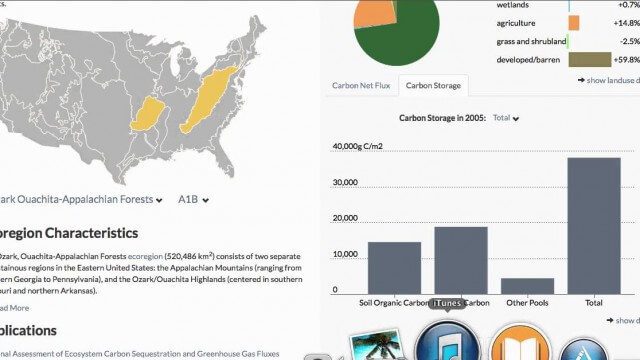
USGS LandCarbon Viewer Tutorial
0 Views0 Comments0 Likes
This video, narrated by USGS scientist Brad Reed, provides a brief tutorial on the use of the USGS LandCarbon Viewing tool.
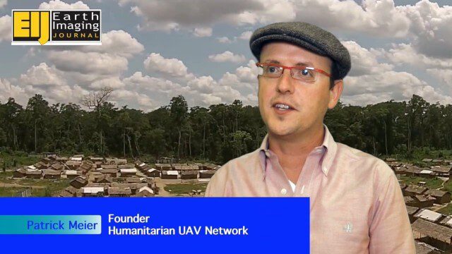
Using Drones to Provide Insight for Disaster Recovery
0 Views0 Comments0 Likes
The V1 Video team spoke to Patrick Meier at the Commercial UAV Expo. Meier is a thought leader on humanitarian technology and innovation as well as founder of the Humanitarian UAV Network (UAViators), which has worked in the Philippines to help in the recovery of Cyclone Pam and in Nepal for response to the recent earthquake. We talked about the growing utility of UAVs as well as the use of automation and crowdsourcing to reduce the time and burden of analysis.
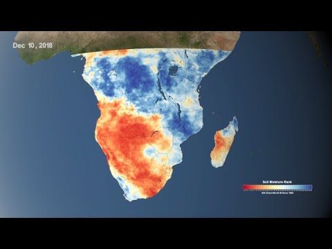
Using NASA Data to Monitor Drought and Food Insecurity
0 Views0 Comments0 Likes
NASA's satellite imagery and model forecasts play an important role in monitoring the performance of crops worldwide and preparing for food shortages.


