Browse Archives
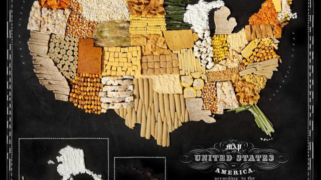
Food Maps
0 Views0 Comments0 Likes
These food maps created by Caitlin Levin and Henry Hargreaves originally were inspired by a passion for travel. Exploring new places through the food you eat is often a portal to the cultural complexities of that place.
senseFly Mini Drones
0 Views0 Comments0 Likes
Imagine being able to see the world from a totally new point of view.
3_31 Remote-Sensing Broadcast (Melting Ice, Deadly Air Pollution, Food Maps and More)
0 Views0 Comments0 Likes
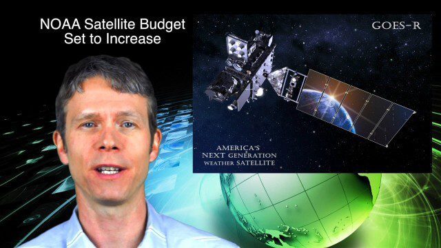
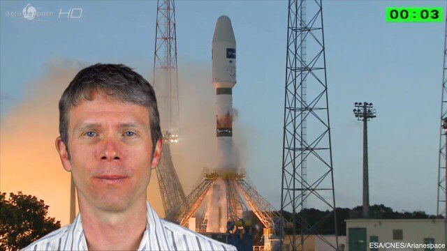
This GeoSpatial Stream broadcast discusses the devastating flooding throughout Europe and how satellites are helping; the 2015 NOAA satellite budget; a new NASA imager for global precipitation; commercial remote-sensing distributors; Airbus Defense and Space and its involvement with Sentinel-5; satellites observing the formation of black holes; and more.
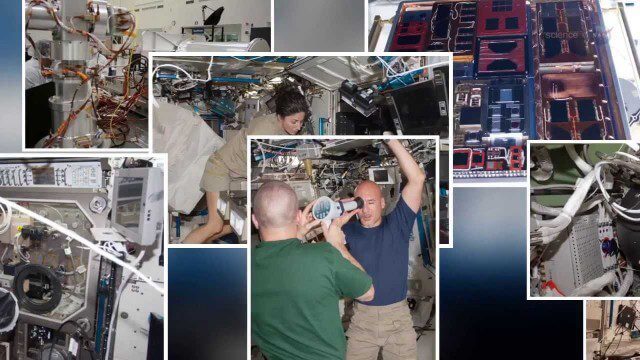
International Space Station Gets a Ten-Year Extension
0 Views0 Comments0 Likes
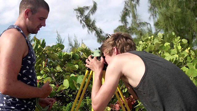
Surveying, Mapping and GIS Expedition to British Virgin Islands
0 Views0 Comments0 Likes
Surveying, Mapping and GIS Expedition to British Virgin Islands
NASA | Landsat Tracks Urban Change and Flood Risk
0 Views0 Comments0 Likes
NASA | Landsat Tracks Urban Change and Flood Risk
4_8 Precision-Agriculture Broadcast (Food and Fluorescence, Sentinel Launch, and More)
0 Views0 Comments0 Likes
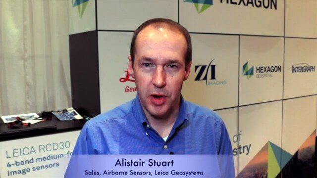
This GeoSpatial Stream broadcast discusses how food production can be tracked via satellites; the launch of Sentinel-1A; maps of extractive industries and agriculture in Peru and Ghana; a satellite competition; industry news from URISA, Ordnance Survey, Open Geospatial Consortium and Leica Geosystems; and more.
BeetleCam Project
0 Views0 Comments0 Likes
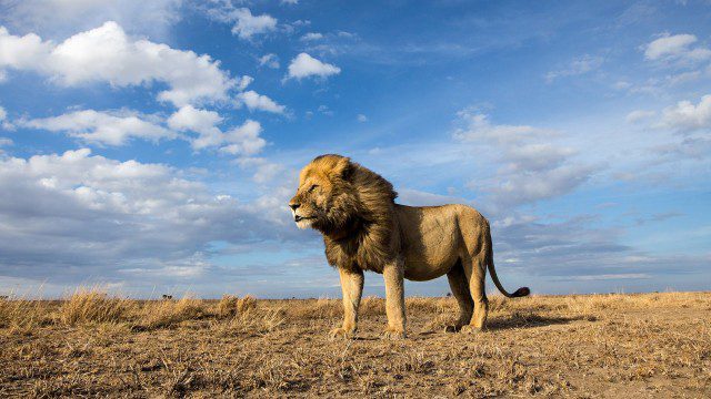
New video footage from BeetleCam in the Serengeti, plus announcing the new BeetleCam Hybrid!

