
Browse Archives
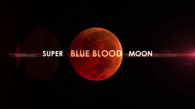
Super Blue Blood Moon and Lunar Eclipse
0 Views0 Comments0 Likes
Jan. 31, 2018, brought a lunar trifecta: the super blue blood Moon! Starting at 5:30 a.m. Eastern, NASA TV offered a livestream of the Moon. This full moon is the third in a series of “supermoons,” when the Moon is closer to Earth in its orbit -- known as perigee -- and about 14 percent brighter than usual.
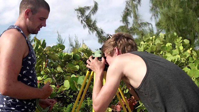
Surveying, Mapping and GIS Expedition to British Virgin Islands
0 Views0 Comments0 Likes

Surveying, Mapping and GIS Expedition to British Virgin Islands
0 Views0 Comments0 Likes
Surveying, Mapping and GIS Expedition to British Virgin Islands
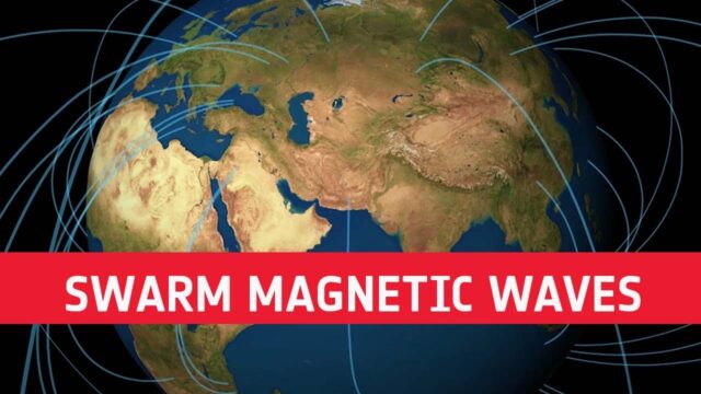
Swarm Reveals Magnetic Waves Across Earth’s Outer Core
0 Views0 Comments0 Likes
Using information from ESA’s Swarm satellite mission, scientists have discovered a completely new type of magnetic wave that sweeps across the outermost part of Earth’s outer core every seven years. This fascinating ...
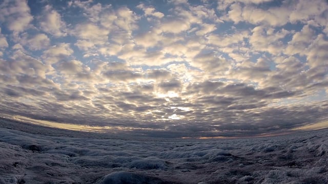
SWIPA 2017: Snow, Water, Ice and Permafrost in the Arctic
0 Views0 Comments0 Likes
A video summarizes information products and materials presenting the results of the 2017 Snow, Water, Ice and Permafrost in the Arctic (SWIPA) assessment coordinated by the Arctic Monitoring and Assessment Programme (AMAP).
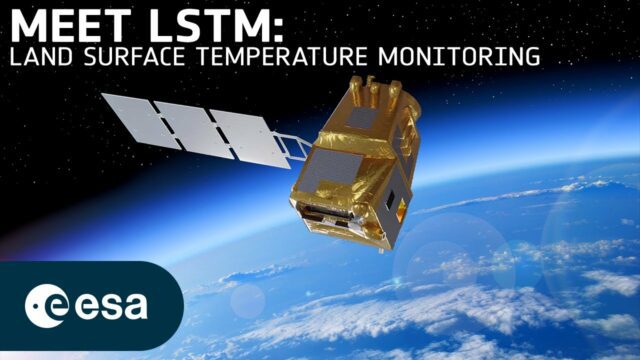
Taking Earth’s Temperature from Space
0 Views0 Comments0 Likes
Climate change exacerbates droughts by making them more frequent, longer, and more severe. This can have a wide range of impacts on the environment, agriculture, ecosystems and communities including water scarcity, cr...
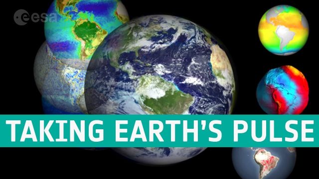
Taking the Pulse of Our Planet
0 Views0 Comments0 Likes
We are all facing the consequences of a rapidly changing world, but thanks to the satellite era we are better placed to understand the complexities of our planet, particularly with respect to global change.
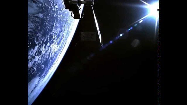
TechDemoSat-1 in Orbit Video
0 Views0 Comments0 Likes
Video taken in-orbit on 8 July 2014 using an inspection camera on-board the TechDemoSat-1 satellite starting about 30 seconds after separation from the launcher. At 6 seconds the Sun appears at the top of the frame as a very bright white flare, before the rotation of the satellite reveals a view of Earth below, of the Pacific Ocean south of French Polynesia.

Teledyne Lidar Enables 3D Data Acquisition, Visual Effects for HBO’s Game of Thrones
0 Views0 Comments0 Likes
Vektra generated 3D point clouds in Dubrovnik using various lidar technologies including Teledyne Optech’s Maverick mobile lidar system and Polaris fixed terrestrial scanner. The lidar point clouds were then colorized with digital camera imagery and image fusion software.
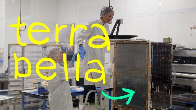
Terra Bella, Google’s Satellite Startup
0 Views0 Comments0 Likes
We both grew up on a healthy diet of sci-fi shows and LOVE space, so ever since a couple of years ago when we heard that a satellite company had joined Google...we’ve been wanting to visit it. Which we finally did in this episode! Get ready for lots of cool satellite imagery + info. Want to learn more about Terra Bella? → https://terrabella.google.com/


