
Browse Archives
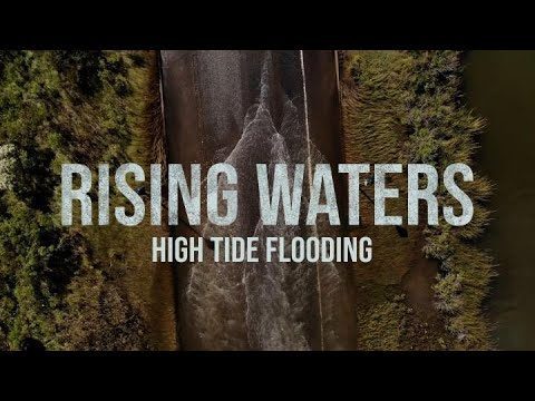
High Tide Flooding
586 Views0 Comments0 Likes
Sea level rise is often spoken of in future terms, including projections for impacts we’re likely to see by the end of the century. But in many communities in the U.S., sea level rise is already a factor in people’s lives in the form of high-tide flooding.
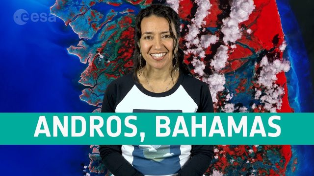
Earth from Space: Andros, Bahamas
556 Views0 Comments0 Likes
In this week's edition of the Earth from Space program, the Copernicus Sentinel-2 mission takes us over Andros, the largest island of the Bahamas.
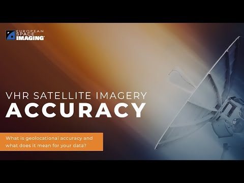
Why Geolocational Accuracy Matters
548 Views0 Comments0 Likes
Satellite imagery has revolutionised industries, all around the world. The resolution and clarity of these images keeps increasing and because of that, it is important to understand the geolocational and geospatial ac...
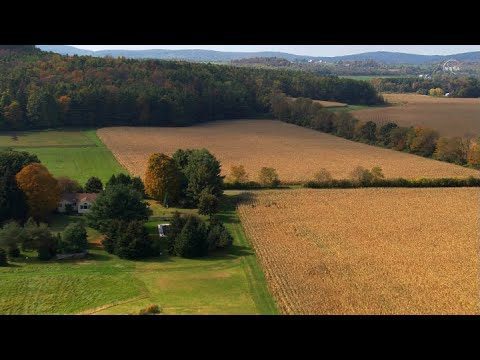
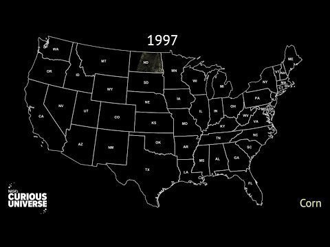
Landsat: Farming Data From Space
539 Views0 Comments0 Likes
NASA's fleet of satellites has been watching over Earth for more than half a century, collecting valuable data about the crops that make up our food supply and the water it takes to grow them. This wealth of information allows scientists to monitor farmland—tracking the overall food supply, where specific crops are grown, and how much water it takes to grow them with data from the Landsat satellites and others
NASA Explorers S3 E3: The Carbon Problem
533 Views0 Comments0 Likes
In the Arctic, fires are a natural part of the ecosystem. But as the climate changes, fires are burning longer and hotter, releasing long-buried carbon from the soil.
AEC from Home: Tips from Leading Professionals Adjusting to Work During the COVID-19 Pandemic
533 Views0 Comments0 Likes
In May 2020, Informed Infrastructure Editorial Director Todd Danielson interviewed three leaders of AEC firms to learn how they’re adjusting to the “new normal” and help pass along some of the tips and lessons learned from their experiences in early 2020.
Copernicus Sentinel-6 Michael Freilich Liftoff Replay
523 Views0 Comments0 Likes
Watch the replay of Copernicus Sentinel-6 Michael Freilich lifting off from the Vandenberg Air Force Base, Calif., on Nov. 21, 2020. Copernicus Sentinel-6 Michael Freilich is the first of two identical satellites to provide critical measurements of sea-level change.
The Last Ice Trailer
503 Views0 Comments0 Likes
THE LAST ICE tells the story of the Inuit communities fighting to protect the disappearing Arctic that has been their home for centuries. From National Geographic Pristine Seas, THE LAST ICE premieres on National Geographic Channel this October.
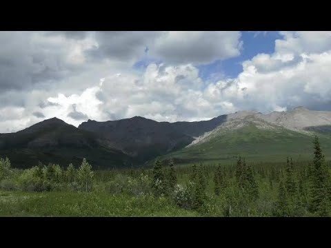
Arctic Greening Driven By Warmer Temperatures
494 Views0 Comments0 Likes
Using Landsat satellite data to track global tundra ecosystems over decades, a new study found the region has become greener, as warmer air and soil temperatures lead to increased plant growth.
Landsat’s View of Crops from Space, in Music
494 Views0 Comments0 Likes
In this video, you can hear Landsat's view of crops from space in the form of a song, called a data sonification.


