
Browse Archives
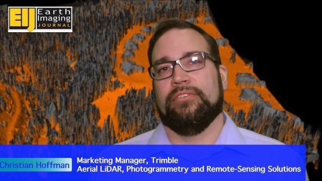
Trimble Providing a Complete Aerial Mapping Solution
0 Views0 Comments0 Likes
The V1 Video team spoke with Christian Hoffman, Marketing Manager for Trimble's Aerial LiDAR, Photogrammetry and Remote-Sensing Solutions, at the ILMF 2016 event held in Denver in February 2016. He spoke about Trimble's complete packages for LiDAR acquisition, including the AX60i, AX60 and AX80 hardware as well as the company's Inpho and eCognition software.
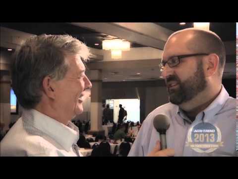
The Farm Forum Event 2013: Matt Ball Interview
0 Views0 Comments0 Likes
Matt Ball is the founder and editor of Vector1 Media, with publications Sensors & Systems, Informed Infrastructure and Asian Surveying & Mapping. He has been promoting the application of sensors, systems, models and simulation for the better stewardship of our planet for the past 15 years. The first ten years of that span were as editor of GeoWorld magazine and show manager of the GeoTec Event, Canada's largest GIS conference.
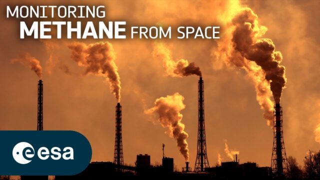
Monitoring Methane From Space
0 Views0 Comments0 Likes
Methane is the second-most-important greenhouse gas contributor to climate change after carbon dioxide. Curbing methane emissions could deliver immediate and long-lasting benefits for the climate, seeing as the ga...
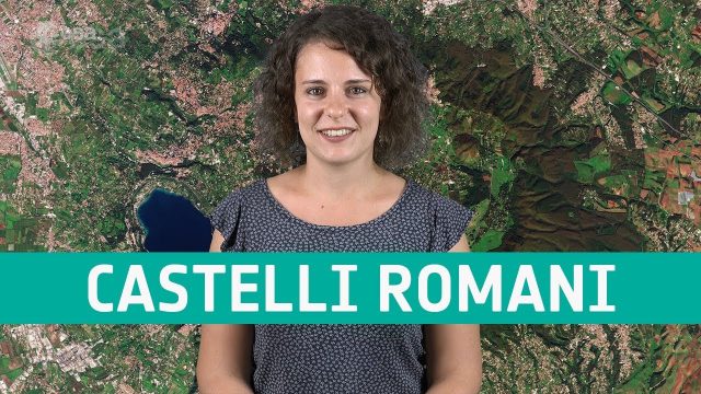
Earth from Space: Castelli Romani
0 Views0 Comments0 Likes
In this week's edition of the Earth from Space program, Copernicus Sentinel-2 takes us over a set of small towns, located around 20 km southeast of Rome, Italy and known collectively as Castelli Romani.
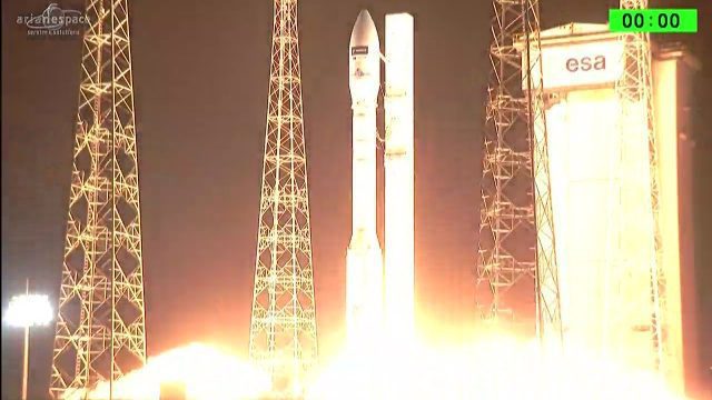
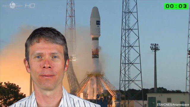
Arianespace Successfully Launches Sentinel-2B
0 Views0 Comments0 Likes
Arianespace has successfully launched the Sentinel-2B satellite for the European Commission within the scope of a contract with the European Space Agency (ESA).
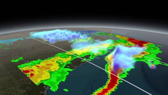
NASA Scanning a Snow Storm
0 Views0 Comments0 Likes
On March 17, 2014, the Global Precipitation Measurement (GPM) mission's Core Observatory flew over the East coast's last snow storm of the 2013-2014 winter season.
4_8 Precision-Agriculture Broadcast (Food and Fluorescence, Sentinel Launch, and More)
0 Views0 Comments0 Likes
This GeoSpatial Stream broadcast discusses how food production can be tracked via satellites; the launch of Sentinel-1A; maps of extractive industries and agriculture in Peru and Ghana; a satellite competition; industry news from URISA, Ordnance Survey, Open Geospatial Consortium and Leica Geosystems; and more.
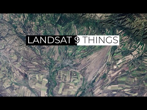
9 Things About Landsat 9
0 Views0 Comments0 Likes
In anticipation of the launch of Landsat 9 on Sept. 27, 2021, NASA counts down 9 things about the Landsat mission, the science, the technology and the people who continue its legacy.

3_19 Infrastructure Broadcast (NYC Gas Explosion, Canada vs. U.S. Infrastructure and More)
0 Views0 Comments0 Likes
This infrastructure-focused GeoSpatial Stream broadcast discusses the gas-leak explosion in New York City; the state of the U.S. infrastructure; Canadian investment; announcements from the Smart Grid Innovation Hub, Bentley Systems, Esri, Oracle and Topcon Positioning Group; and more.

7_30 Asia-Pacific Broadcast (Deforestation, Beijing Smog and More)
0 Views0 Comments0 Likes
This Asia-Pacific-focused GeoSpatial Stream broadcast discusses deforestation in Indonesia; IBM joining Beijing's fight against smog; Asian effects on mobile-device charging; Pakistan's move toward space technology; satellite imagery use in Australian vineyards; industry news from Spatial Dimensions, ScanEx, Maptek and Esri; geospatial insight into Indonesian politics; and more.


