
Browse Archives
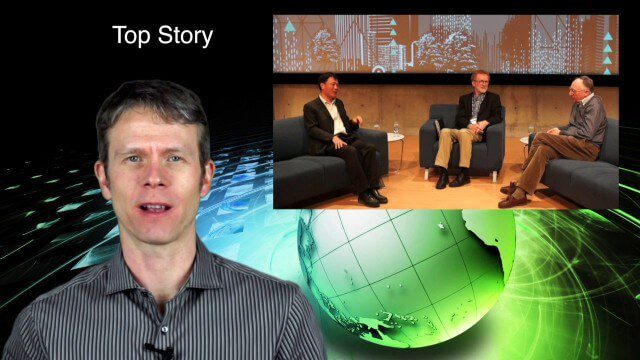
12_18 Asia-Pacific Broadcast (Cultural Heritage, APAC LBS Market and More)
0 Views0 Comments0 Likes
This Asia-Pacific-focused GeoSpatial Stream broadcast discusses a Cultural Preservation survey project in LaoSiCheng, China; a market-research report on the APAC region's LBS market; a V1 Media interview with a Bentley Systems Year in Infrastructure award winner from China; industry headlines from Paragon Software Systems, SkyTraq Technology Inc., Supergeo Technologies and Hamon Thermal Co.; and more.
12_4 TIGER Broadcast (Database Milestones, People to Pixels and More)
0 Views0 Comments0 Likes
This GeoSpatial Stream broadcast discusses "People to Pixels" remote-sensing techniques that won a major award; the 25th anniversary of the U.S. Census Bureau's TIGER database; industry news from Esri, SmarterBetterCities, TomTom, Fleetlogic and ThinkGeo; clips from an interview with Greg Bentley, CEO of Bentley Systems; information about an upcoming Webcast on Structural Steel Fabrication; and more.
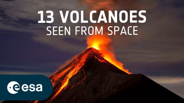
13 Volcanoes Seen from Space
0 Views0 Comments0 Likes
Have you ever wondered what a volcano looks like from space? This video counts down ESA's picks of the most impressive volcanoes around the world – captured by satellites, including Mount Fuji, Mount Mayon and Mount V...
2_11 Infrastructure Broadcast (DOT Budget, Rebuilding Schools and More)
0 Views0 Comments0 Likes
This Infrastructure-themed GeoSpatial Stream broadcast discusses the FY2017 U.S. Department of Transportation budget; Los Angeles' new GeoHub; Miyamoto Relief engineering work at schools in Nepal; industry news from Autodesk, Abvent, TerraGo, Cadcorp and Topcon; two new infrastructure posting from V1 Media; and more.
2_12 Maps and Drones Broadcast (Google Maps, Drones for Good and More)
0 Views0 Comments0 Likes
This GeoSpatial Stream broadcast discusses the 10-year anniversary of Google Maps; the Drones for Good contest and drone privacy issues; industry news from Esri, Cadcorp and LizardTech; an unintentionally funny video from Ordnance Survey in 1965; and more.

2_12 Roger Tomlinson Broadcast (GeoDesign Summit, Tomlinson Tribute, Landsat 8 and More)
0 Views1 Comments0 Likes
This GeoSpatial Stream broadcast discusses Esri's GeoDesign Summit; the recent passing of Roger Tomlinson, "The Father of GIS"; Landsat 8's birthday; climate change and national security; woodland conservation; geospatial gaming technology; and more.
2_18 Asia-Pacific Broadcast (China’s Ecological Infrastructure, TeLEOS-1 Satellite, Alibaba Mapping Offer and More)
0 Views0 Comments0 Likes
This Asia-Pacific-focused GeoSpatial Stream broadcast discusses Kongjian Yu's efforts in China's ecological infrastructure; the TeLEOS-1 Earth-imaging satellite; the Geological Survey of India; Alibaba's offer for AutoNavi; the "other" Great Wall of China mapping; Skybox Imaging in Australasia; and more.
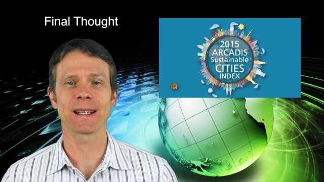
2_19 Infrastructure Broadcast (NSDI, Sustainable Cities and More)
0 Views0 Comments0 Likes
This Infrastructure-themed GeoSpatial Stream broadcast discusses the National Spatial Data Infrastructure (NSDI) Report Card; a Center for Environmental Health map concerning lead-contaminated fuel near airports; industry news from Hexagon, Trimble, Viametris, Apple and Bentley Systems; a video concerning the 2015 ARCADIS Sustainable Cities Index; and more.

2_25 Earth Imaging Broadcast (Sentinel Launch, Smallsats and More)
0 Views0 Comments0 Likes
This Earth Imaging-themed GeoSpatial Stream broadcast discusses the recently launched Sentinel-3A Earth-monitoring satellite; a smallsat/cubesat video created by the European Space Agency; NASA UAS/drone news; industry news from Esri, SimActive, Teledyne Optech and Riegl; a funny mapping video from the University of Kentucky's New Maps Plus online education program; and more.
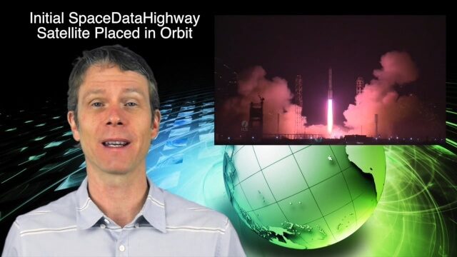
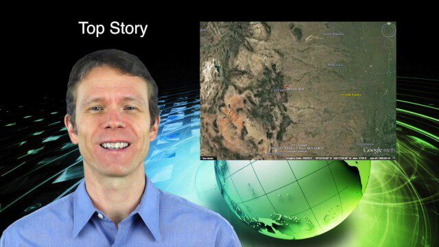
2_3 Earth Imaging Broadcast (El Niño, Satellite Launches and More)
0 Views0 Comments0 Likes
This Earth Imaging-themed GeoSpatial Stream broadcast discusses a crowdsourced effort to monitor coastal erosion in California caused by El Niño; recent satellite launches of Jason-3 for ocean measurements and the first satellite of the SpaceDataHighway; industry news from Aerial MOB, Quantum Spatial, URISA, TerraGo, Eos Positioning, Delair-Tech and SimActive; a video from Peru of vultures being used to monitor garbage; and more.


