
Browse Archives
Everything that Happens, Happens Somewhere
0 Views0 Comments0 Likes
As our planet is becoming more crowded, the demand for diminishing natural resources is growing. Income gaps are widening,and people are being left behind. Geographic location -- and information about these locations – shows us where social, environmental and economic conditions occur. Reliable and authoritative geographic information provides the framework for measuring, monitoring and achieving the sustainable development goals, improving people’s lives and protecting the planet. The United Nations initiative on Global Geospatial Information Management (UN-GGIM) aims at playing a leading role in setting the agenda for the development of global geospatial information and to promote its use to address key global challenges. It provides a forum to liaise and coordinate among Member States, and between Member States and international organizations.
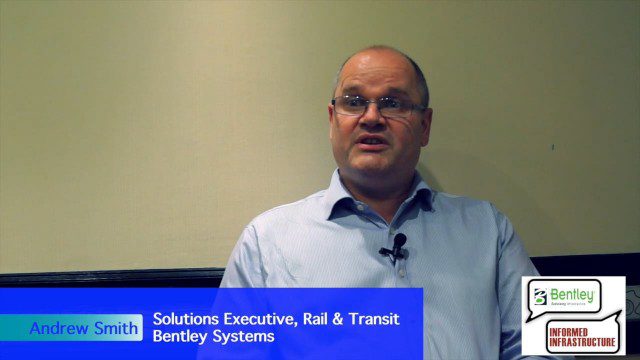
Exciting Times for Road and Rail Infrastructure
0 Views0 Comments0 Likes
The V1 Video team interviewed Andrew Smith at the 2015 Bentley Year in Infrastructure Conference in London in early November. Smith is a Solutions Executive, Rail & Transit, for Bentley Systems, and he discussed new technologies in rail design and construction, London's Crossrail project and its effect on BIM, and evolving business processes affecting the industry.
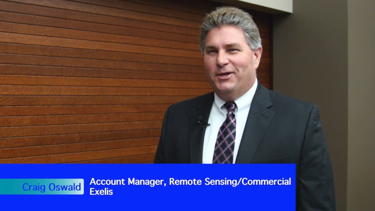
Exelis Aims at Small Satellite Sensor Development
0 Views0 Comments0 Likes
Earth Imaging Journal spoke with Craig Oswald, account manager for remote-sensing commercial markets at Exelis. We spoke about the smallsat market as well as maintaining high imagery quality while riding the faster, better, cheaper wave as Earth-observation satellites continue to proliferate.

Exelis Discusses Climate Instrument Specialization and Demand
0 Views0 Comments0 Likes
Matt Ball spoke with Eric Webster, VP and Director, Environmental Intelligence, Geospatial Systems, Exelis, at the recent International Space Symposium. The conversation covered some recent sensor contract wins with NASA and JAXA as well as discussion about the evolution of sensors from hardware- to software-based, affording much greater on-orbit flexibility.
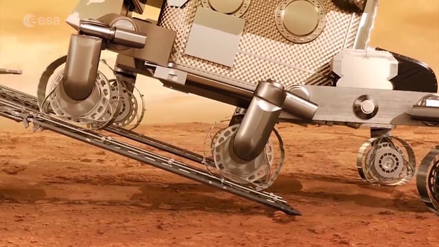
ExoMars – A Promising Future
0 Views0 Comments0 Likes
2016 has been an eventful and promising year for ESA’s ExoMars mission. After successfully placing the Trace Gas Orbiter into Mars’ orbit on Oct. 19, the orbiter has sent back its first images, tested its instruments and performed in orbit calibration measurements and health checks.
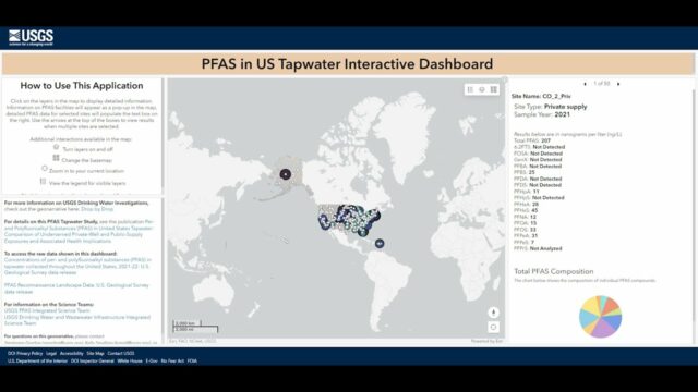
Explore the Risk of PFAS in Local Tap Water
0 Views0 Comments0 Likes
U.S. Geological Survey scientists created an interactive map to help the public better understand their risk of exposure to PFAS, also known as “forever chemicals.” This interactive tool allows you to view data from a...

Exploring InfraWorks Vegas Style! Event (Short Version)
0 Views0 Comments0 Likes
This video is a short trailer of the full video recapping the Exploring InfraWorks (Vegas Style!) event that took place during Autodesk University 2013. A bus trip explored the use of Autodesk technology to model the infrastructure of the city of Las Vegas. VTN Consulting is the main contractor on the project.
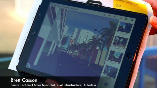
Exploring InfraWorks, Vegas Style Event (Full-Length Version)
0 Views0 Comments0 Likes
This full-length video summarizes the Exploring InfraWorks, Vegas Style event that took place during Autodesk University on Dec. 4, 2014. A bus trip explored the use of Autodesk technology to model the infrastructure of the city of Las Vegas. VTN Consulting is the main contractor on the project.
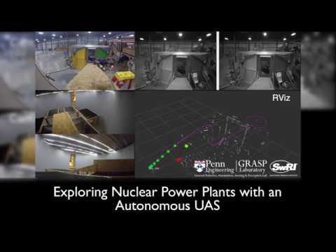
Exploring Nuclear Power Plants via UAS
0 Views0 Comments0 Likes
Southwest Research Institute and the University of Pennsylvania are developing UAS technology to fly into the containment vessels of the damaged units at Japan’s Fukushima Daiichi nuclear power station and assess conditions.
Exploring Space: Cosmic Revolutionaries
0 Views0 Comments0 Likes


