
Browse Archives
ESA’s Hera Mission Launch Highlight
0 Views0 Comments0 Likes
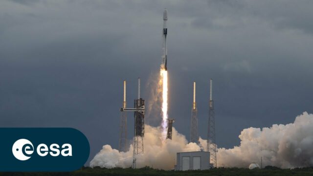
ESA’s Hera mission lifted off on a SpaceX Falcon 9 from Cape Canaveral Space Force Station in Florida on 7 Oct. 7, 2024. Hera is ESA’s first planetary defence mission. It will fly to a unique target among the 1.3 ...
Esri Business Summit: Axel Bedikyan, Cirque du Soleil
0 Views0 Comments0 Likes
Cirque du Soleil turned to ArcGIS when they needed to drive business results. This vibrant company known for its high quality entertainment feels the same care and attention to detail they put into their business is mirrored in Esri’s solutions.

Esri’s Director of Solutions Discusses Apps, Simplicity and Passion
0 Views0 Comments0 Likes
Todd Danielson interviews Damian Spangrud, Director of Solutions, Esri, at the 2014 Esri User Conference in San Diego. They discuss what it's like working at Esri, the tools needed to create a public-facing GIS app and "never underestimating how simple things need to be."

Esri’s Donny Sosa Talks UAVs and Photogrammetry
0 Views0 Comments0 Likes
Donny Sosa is an AEC Industry Specialist with Esri, and he spoke with V1 Media's Todd Danielson at SPAR International, which was held March 30-April 2, 2015, in Houston, Texas. They discussed UAVs and their proliferation, the pros and cons of UAV use, industry trends, product testing with Pix4D and more.

Esri’s Geotrigger Service Explained
0 Views1 Comments0 Likes
Matt Ball spoke with Amber Case, director of Esri's R&D Center in Portland, at the Local Data Summit in Denver on Feb. 25, 2014. The conversation ranges from accessible geospatial technology, the ubiquity of mobile devices, and the connections that are made with location awareness and location-based alerts.
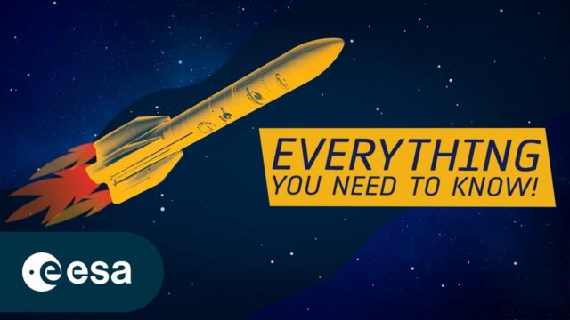
Europe’s Next Big Rocket In a Nutshell
0 Views0 Comments0 Likes
Ariane 6 is the newest rocket in a series that has, for five decades, been launching Europe towards the stars. Building on all the knowledge, expertise and technology developed over the years, Ariane 6 will be versati...
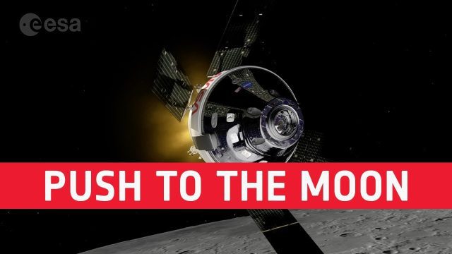
European Push to the Moon
0 Views0 Comments0 Likes
The European Space Agency is playing a vital role in humankind’s return to the Moon. In a few months @NASA will launch Artemis I from the Kennedy Space Center. The uncrewed mission will carry NASA’s Orion spacecraft ...

European Space Agency (ESA) 2022 Preview
0 Views0 Comments0 Likes
As always, a new year brings new and exciting missions and launches for ESA. In science the world looks forward to the first image releases of the recently launched James Webb Space Telescope and the third data relea...
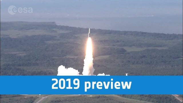
European Space Agency 2019 Preview
0 Views0 Comments0 Likes
ESA astronaut Luca Parmitano will return to the International Space Station, in Science Cheops will look at exoplanets, while the EDRS-C satellite will start the era of super-fast data relay on orbit.

EveryDropLA
0 Views0 Comments0 Likes
Encouraging water conservation, the app allows users to identify and directly report water waste, view instances of water waste around them, receive alerts to conserve when essential, educate themselves on water conservation, and engage the water community through social media.


