
Browse Archives
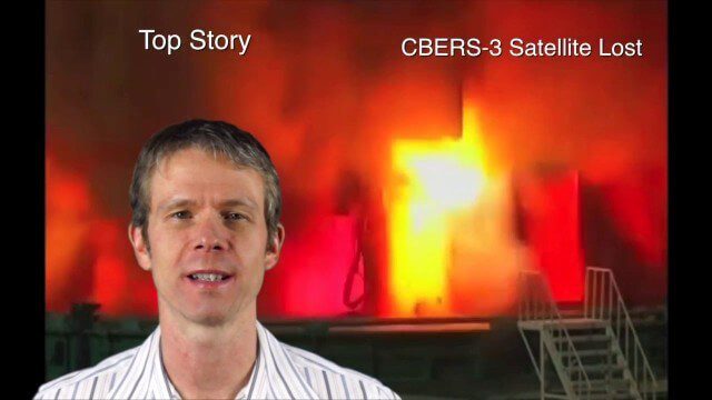
Asia-Pacific Broadcast (Remote-Sensing Satellites, East Asia Agreements, Greenhouse Mapping and More)
8.06K Views1 Comments0 Likes
This GeoSpatial Stream focuses on the Asia-Pacific region. Topics covered include China's failed CBERS-3 remote-sensing satellite, a joint agreement to monitor air pollution, Greenhouse mapping in India, precision agriculture in Australia and more.

Why Attend Bentley Systems YII 2016
3.72K Views0 Comments0 Likes
This video from Bentley Systems shows highlights of the 2015 event and what attendees can expect if they convene in London in 2016.
Stanford-Developed Technology Could Help Prevent Wildfires
775 Views0 Comments0 Likes
A new technology developed by Stanford engineers promises a way to prevent a significant percentage of wildfires and drastically reduce the cost of fighting them.
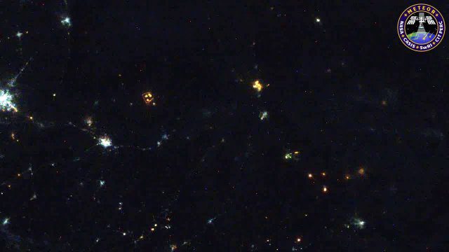
Meteors Encountering Earth’s Atmosphere
1.54K Views0 Comments0 Likes
This video was acquired August 10, 2016, with a high-resolution video camera onboard the International Space Station (ISS). Within the span of about 10 seconds, two meteors associated with the Perseid meteor shower streak across the sky above Pakistan. Video was provided by Tomoko Arai/Japan’s Planetary Exploration Research Center/Meteor Composition Determination (Meteor) investigation.
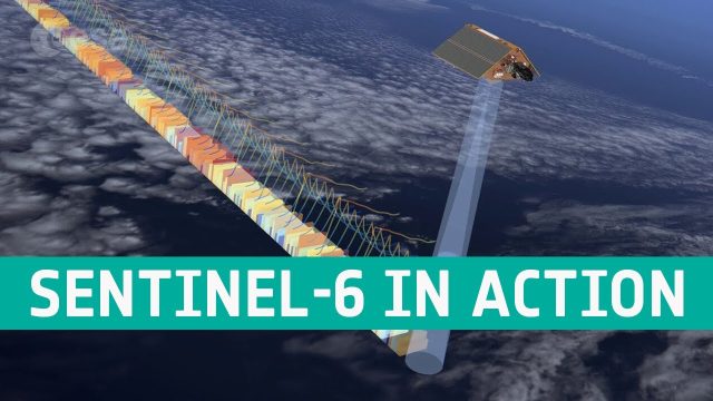
Copernicus Sentinel-6 In Action
36 Views0 Comments0 Likes
The Copernicus Sentinel-6 Poseidon-4 dual-frequency (C- and Ku-band) radar altimeter uses an innovative interleaved mode that has improved performance compared to previous satellite altimeter designs. The Sentinel...
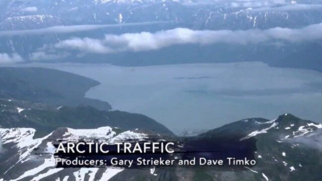
Arctic Traffic
2.37K Views0 Comments0 Likes
As climate change melts sea ice and opens the Arctic Ocean to more shipping and oil exploration, marine mammals and native people in small boats are at risk. Watch this video from This American Land and then read a related article from Earth Imaging Journal at http://eijournal.com/print/articles/monitoring-polar-changes-scientists-deploy-many-tools-to-measure-sea-ice-thickness to learn more on this topic.

Esri’s Director of Solutions Discusses Apps, Simplicity and Passion
7.55K Views0 Comments0 Likes
Todd Danielson interviews Damian Spangrud, Director of Solutions, Esri, at the 2014 Esri User Conference in San Diego. They discuss what it's like working at Esri, the tools needed to create a public-facing GIS app and "never underestimating how simple things need to be."

NASA/JAXA GMI Sensor for Precipitation Measurement
3.14K Views0 Comments0 Likes
On March 10, the Core Observatory passed over an extra-tropical cyclone On March 10, the Core Observatory passed over an extra-tropical cyclone about 1055 miles (1700 kilometers) due east of Japan's Honshu Island. Satellite data shows the full range of precipitation in the storm.

PortMaps – Kaarten en Havenbedrijf Rotterdam
3.30K Views0 Comments0 Likes
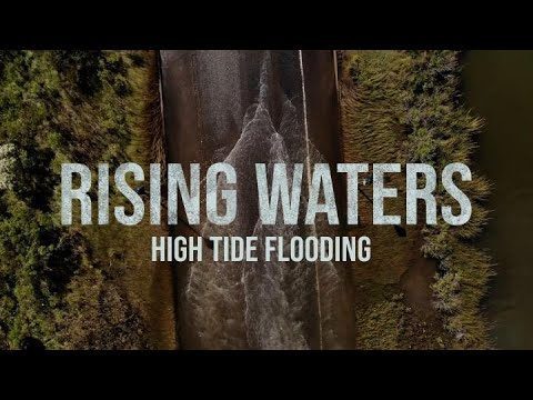
High Tide Flooding
586 Views0 Comments0 Likes
Sea level rise is often spoken of in future terms, including projections for impacts we’re likely to see by the end of the century. But in many communities in the U.S., sea level rise is already a factor in people’s lives in the form of high-tide flooding.


