
Browse Archives
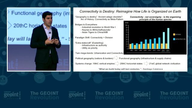
GEOINT Keynote: Parag Khanna, Author on Mapping
0 Views0 Comments0 Likes
The U.S. Geospatial Intelligence Foundation (USGIF) recorded the keynote speech of Parag Khanna, author, “Connectography: Mapping the Future of Global Civilization," at the 2016 GEOINT Symposium on May 16, 2016, in Orlando, Fla.

NASA NIMBUS: Recovering the Past
0 Views0 Comments0 Likes
50 years ago, NASA launched Nimbus to study Earth from space. Now, experts at the National Snow and Ice Data Center (part of CIRES), are recovering valuable data and images from old, long-lost film, and expanding their understanding of sea ice in the Arctic and Antarctic. Learn more from CIRES on the 1-year anniversary of Nimbus' first image:

Building Climate Resilience: Getting Started
0 Views0 Comments0 Likes
For many Americans, adapting to new climate regimes means developing new expertise. Decision-makers across the nation are using data and tools to reduce their risks and protect their investments from climate. This video explains how you can use the Climate Resilience Toolkit web site to improve resilience.
2017 Be Inspired Awards Project Highlights
0 Views0 Comments0 Likes
Several members of the Bentley Systems team discuss the Be Inspired Awards projects from the 2017 Year In Infrastructure event held Oct. 10-12, 2017, in Singapore.
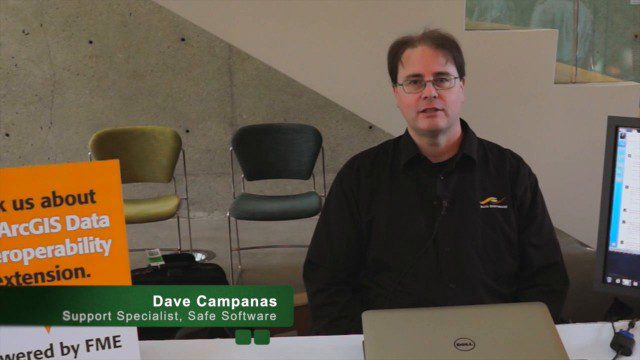
Safe Software Bringing Data Translation to Geodesign
0 Views0 Comments0 Likes
Safe Software is the maker of FME and a global leader in spatial data transformation technology. On behalf of V1 Media, Informed Infrastructure and GeoSpatial Stream, Todd Danielson interviewed Dave Campanas, software support specialist at Safe Software, at the Geodesign Summit 2015 in Redlands, Calif.
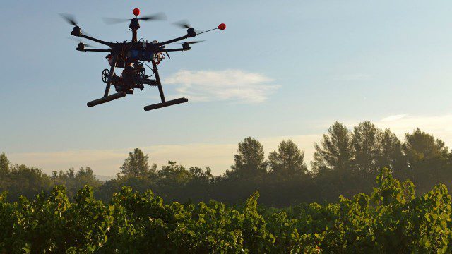
Drones for Good (HP)
0 Views0 Comments0 Likes
Most people associate drones with the military - an invasive eagle eye hovering from above. What many people don't realize, however, is the tremendous good drones can do. Information from drones can be used for valuable data collection, telling us things we can't see from the ground and helping countries and communities after natural disasters. A drone can spot structural damage, road blocks, and even save human lives. To learn more about using drones for social good and how technology is revolutionizing all means of transportation.
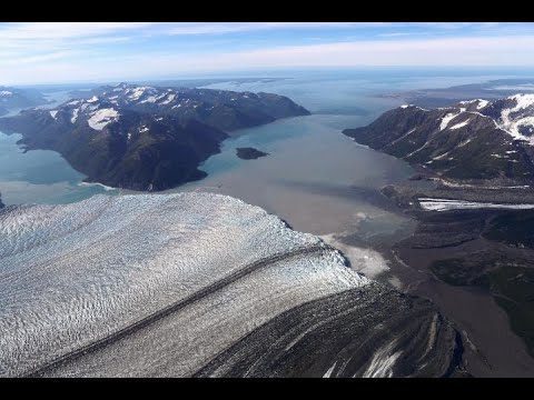
48 Years of Alaska’s Glaciers
0 Views0 Comments0 Likes
New time-lapse videos of Earth’s glaciers and ice sheets as seen from space–spanning nearly 50 years–are providing scientists with new insights into how the planet’s frozen regions are changing.

7_23 Esri UC Broadcast (Video Recap, Exhibitor News and More)
0 Views0 Comments0 Likes
This GeoSpatial Stream broadcast covers news and events from the recent Esri User Conference in San Diego, including a video recap of speakers and topics; news from Esri on the Special Achievement in GIS Awards, its Tapestry Segmentation system and a partnership with European Schoolnet; exhibitor news from Topcon Positioning Group, Airbus Defense and Space, LizardTech and Scene Sharp; a clip from an interview with Jack Dangermond, Esri's president and founder; and more.
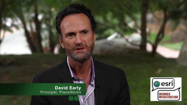
David Early Discusses Smart Growth at Geodesign Summit
0 Views2 Comments0 Likes
David Early, principal at PlaceWorks, is a renowned expert on smart growth. For more than 25 years, he has worked with communities and helped numerous clients prepare successful grant applications to help fund long-range planning efforts. On behalf of V1 Media, Informed Infrastructure and GeoSpatial Stream, Todd Danielson interviewed Early at the Geodesign Summit 2015 in Redlands, Calif.
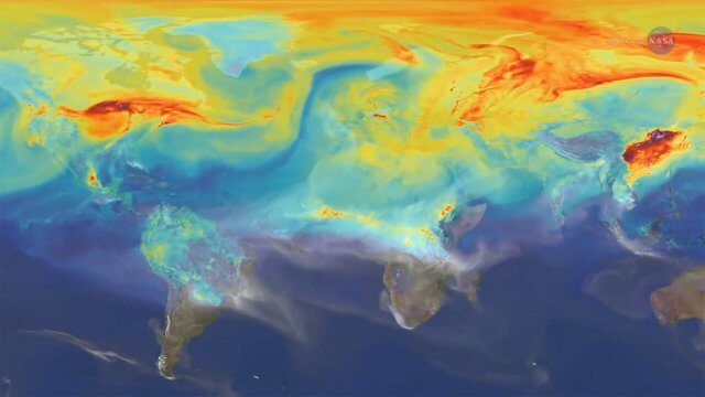
Reshuffling Heat on a Warming Planet
0 Views0 Comments0 Likes
Earth's oceans could be concealing a mystery about climate change. Researchers have recently found evidence of hidden heat hundreds of meters below the ocean's surface.


