


Category: Daily Digests
9_18 Climate Change Broadcast (CO2 Mapping, Open Data and More)
0 Views0 Comments0 Likes
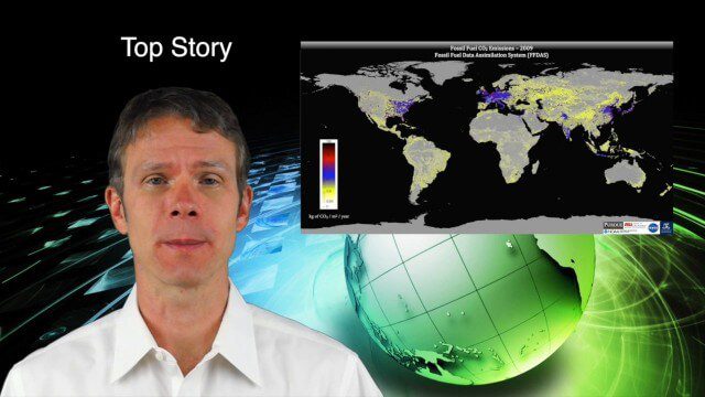
This GeoSpatial Stream broadcast discusses new research on greenhouse gas emissions worldwide; open data and sustainability innovation; a lost Russian satellite; a geospatial search engine from the U.S. Library of Congress; industry news from Cadcorp, Bentley Systems, Esri and Innovyze; opinions on the recent URISA GIS-Pro conference; and more.
12_18 Asia-Pacific Broadcast (Cultural Heritage, APAC LBS Market and More)
0 Views0 Comments0 Likes
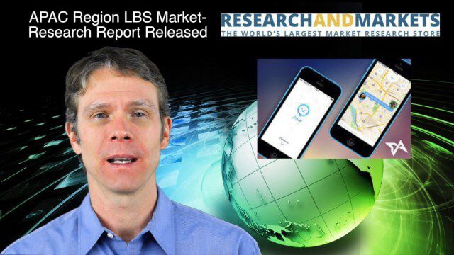
This Asia-Pacific-focused GeoSpatial Stream broadcast discusses a Cultural Preservation survey project in LaoSiCheng, China; a market-research report on the APAC region's LBS market; a V1 Media interview with a Bentley Systems Year in Infrastructure award winner from China; industry headlines from Paragon Software Systems, SkyTraq Technology Inc., Supergeo Technologies and Hamon Thermal Co.; and more.
2_3 Earth Imaging Broadcast (El Niño, Satellite Launches and More)
0 Views0 Comments0 Likes
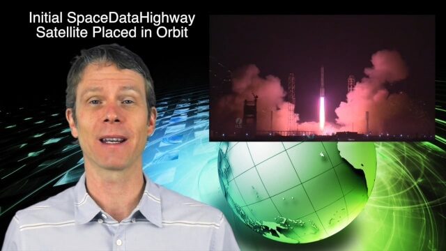
This Earth Imaging-themed GeoSpatial Stream broadcast discusses a crowdsourced effort to monitor coastal erosion in California caused by El Niño; recent satellite launches of Jason-3 for ocean measurements and the first satellite of the SpaceDataHighway; industry news from Aerial MOB, Quantum Spatial, URISA, TerraGo, Eos Positioning, Delair-Tech and SimActive; a video from Peru of vultures being used to monitor garbage; and more.
9_25 Asia-Pacific Broadcast (South China Sea, Earth Observation Data and More)
0 Views0 Comments0 Likes
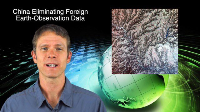
This Asia-Pacific-focused GeoSpatial Stream broadcast discusses ongoing land and sea disputes in the South China Sea and how mapping is playing a role; China achieving its goal of decreasing foreign-sourced Earth-observation data; a near-miss for Vietnam's first Earth-Observation satellite; industry news from Supergeo, Esri and JSC Russian Space Systems; opinions on territorial disputes; and more.
11_26 Asia-Pacific Broadcast (Gaofen-23, Hokkaido Map and More)
0 Views0 Comments0 Likes
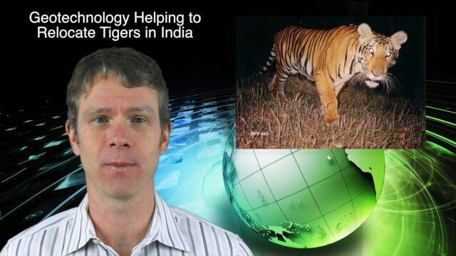
This Asia-Pacific-focused GeoSpatial Stream broadcast discusses the recently launched Chinese Gaofen-23 remote-sensing satellite; researchers in India finding and relocating tigers; a new map of disputed territories off the coast of Hokkaido; Brisbane GIS Day, the largest GIS Day event in the world; the Locate 15 Conference; an Esri Australia contract with the Australian Department of Defence; a video about UN's FAO using geospatial technology; and more.

4_10 GEOINT Broadcast (Special Ops Data, New Weather Satellite, GPS III and More)
0 Views0 Comments0 Likes
This GeoSpatial Stream broadcast discusses geospatial intelligence, its legacy and the upcoming GEOINT Symposium; a recently launched U.S. military weather satellite; GPS III developments; industry news from Headwall, Thermopylae Sciences and Technology, Trimble, Esri, DigitalGlobe, and Riegl; and more.
3_19 Asia Pacific Broadcast (Malaysia Airlines Search, India Water Tool and More)
0 Views0 Comments0 Likes
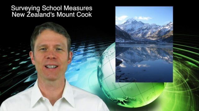
This Asia-Pacific-themed GeoSpatial Stream broadcast discusses Geoscience Australia's seafloor mapping efforts in the continued search for Malaysia Airlines Flight 370; India mapping schools and water; surveyors measuring the height of New Zealand's tallest peak, Mount Cook; industry news from Esri India, Locate15, ISRO and Google; powerful maps created by children in India of the slums they live in and how they'd like to see them rebuilt; and more.
11_12 Climate Change Broadcast (Free Training, Ozone Hole and More)
0 Views0 Comments0 Likes
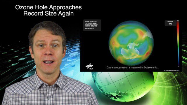
This GeoSpatial Stream broadcast discusses several issues related to climate change, including a new free course that discusses how to use Earth observation satellites to monitor climate change; the growing ozone hole over Antarctica; a study suggesting more flooding and droughts for California; industry news from TerraGo, Esri, Microsoft, Blue Marble and SimActive; video of humanitarian UAV training in Nepal; and more.

8_4 Infrastructure Broadcast (TIGER Grants, Transit Tech and More)
0 Views0 Comments0 Likes
This Infrastructure-themed GeoSpatial Stream broadcast discusses $500 million in grants from the USDOT's TIGER program; highlights from the latest issue of Informed Infrastructure magazine; new virtual reality technology to promote transit; industry news from Pix4D, Thinkbox Software and the Global Infrastructure Hub; a video from the Mississippi Watershed Management Organization about a stormwater filtration system recently installed near Minneapolis; and more.

6_9 Earth Imaging Broadcast (Satellite Success, Asteroid Mining and More)
0 Views0 Comments0 Likes
This Earth Imaging-themed GeoSpatial Stream broadcast discusses the recent streak of success at the European Space Agency, including its Sentinel and Galileo launches as well as a demonstration of the SpaceDataHighway; a NASA video about its North Atlantic Aerosols and Marine Ecosystems Study (NAAMES) mission; industry news from Merrick-Surdex Joint Venture, TerraGo, Earth-i, Teledyne Optech and Siteco Informatica; thoughts on asteroid mining and related benefits to Earth sensing; and more.


