


Category: Daily Digests
10_16 Asia-Pacific Broadcast (Tsunami Preparedness, NASA/India Partnerships and More)
0 Views0 Comments0 Likes
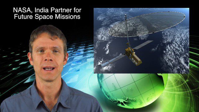
This Asia-Pacific-focused GeoSpatial Stream broadcast discusses several reports indicating that tsunami preparedness is improving in the region; a space-mission partnership between NASA and India's ISRO; the first images from China's Gaofen-2; a video from the University of South Australia's Global Sensor Network; industry news from MDA Information Systems, Esri, Xiaomi, Careland, Innovyze and Nobel Systems; and more.

3_6 ILMF Broadcast (Conference Recap, USGS News, Aerial Imagery Market and More)
0 Views0 Comments0 Likes
This GeoSpatial Stream broadcast discusses the recent International LiDAR Mapping Forum, important USGS news, the future of the aerial imagery market, a map contest, and more.

6_2 GPS Broadcast (Topo Maps, Napoleon, HxGN LIVE, More)
0 Views0 Comments0 Likes
This GeoSpatial Stream broadcast includes a tribute to the "founder of GPS," Roger Easton, and discusses new USGS Topo maps; cloud computing frameworks; a book featuring the famous Minard Map of Napoleon's Russian Campaign of 1812; BlackBridge financing; World Cup Stadium images from Airbus; and an upcoming trip to HxGN LIVE in Las Vegas, Nevada.
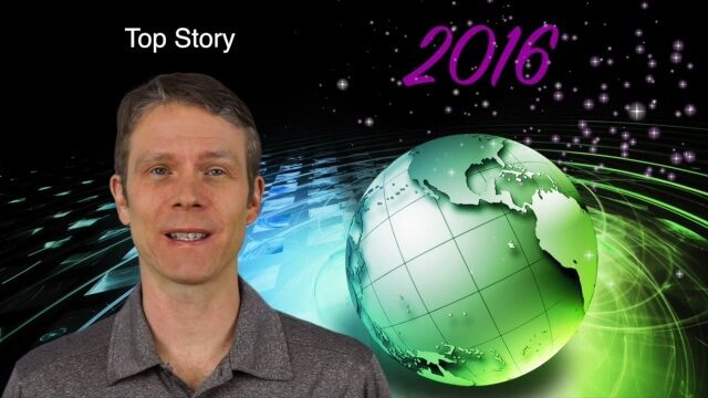
1_7 New Year Broadcast (Predictions for 2016, Weather Monitoring and More)
0 Views0 Comments0 Likes
This GeoSpatial Stream broadcast discusses the New Year and an article from Sensors & Systems making 10 predictions for 2016; NASA satellites tracking deadly weather in December 2015; ESA ice-sheet monitoring; industry news from Esri, USGS, VisionMap and Earth-i; thoughts on iconic images captured from space and their perspectives; and more.

5_22 Remote-Sensing Broadcast (Space Symposium, WorldView-3 and More)
0 Views0 Comments0 Likes
This GeoSpatial Stream broadcast covers a variety of remote-sensing topics, such as the recent Space Symposium in Colorado; a preview of DigitalGlobe's WorldView-3 satellite; a special report on micro-satellites; industry news from Airbus Defence and Space, BAE Systems, Teledyne, and NASA; and more.
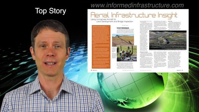
4_7 Infrastructure Broadcast (Drones, Funding and More)
0 Views0 Comments0 Likes
This Infrastructure-themed GeoSpatial Stream broadcast discusses how drone/UAS/UAV technology is being adopted in infrastructure projects worldwide; state transportation funding; the development of transparent wood; industry news from CINTEC, Trimble, IMAGINiT, SmarterBetterCities and Siteco; a video from the Construction Climate Talks series; and more.
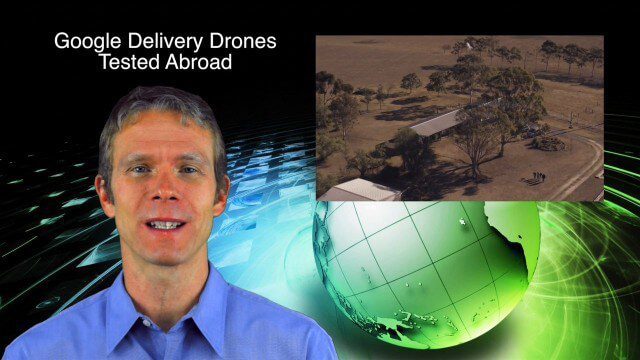
9_4 Earth Imaging Broadcast (Galileo Malfunction, Drones and More)
0 Views0 Comments0 Likes
This Earth imaging GeoSpatial Stream broadcast discusses the ESA's potentially lost Galileo navigation satellites; several instances of drones (or UAVs) making news worldwide, including from Google and Amazon; industry news from DigitalGlobe, BlackBridge and MDA, SimActive, and KEYW Corp.; URISA's GIS-Pro conference in New Orleans; subscription information; and more.
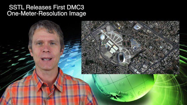
4_28 Earth Imaging Broadcast (Sentinel, Drones and More)
0 Views0 Comments0 Likes
This Earth Imaging-themed GeoSpatial Stream broadcast discusses the recent successful launch of the European Space Agency's Sentinel 1-B satellite; UAS (or drone) news about a 3D-printed vehicle helping ships navigate Antarctic seas as well as the economic impact of the Micro Aerial Vehicle market; a NASA study on the greening of Earth caused by increased carbon dioxide; industry news from 5D Robotics, LizardTech, the U.S. Geospatial Intelligence Foundation and Teledyne Optech; a video about the Sentinel satellites capabilities; and more.
9_17 Europe Broadcast (INTERGEO, Market Reports and More)
0 Views0 Comments0 Likes
This European-themed GeoSpatial Stream broadcast discusses the INTERGEO conference in Stuttgart, Germany; a market report on the European Earth-observation industry; EU flood-disaster simulations using UAS technology; an OGC smart city pilot project; industry news from Surrey Satellite Technology, Euroconsult, PCI Geomatics, Applanix and Intergraph; and more.
11_20 Earth Imaging Broadcast (Carbon Dioxide Modeling, GIS Day and More)
0 Views0 Comments0 Likes
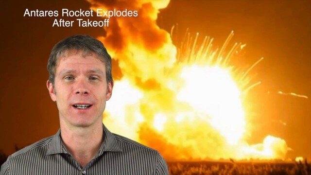
This GeoSpatial Stream broadcast discusses Earth Imaging news and videos, including a supercomputer animation on carbon dioxide; the USGS William T. Pecora Award; the recent Antares rocket explosion; thoughts on Big Data from the European Space Agency; industry news from VineView SAI, SkySquirrel Technologies and DigitalGlobe; GIS Day; and more.


