


Category: Daily Digests
8_13 Earth Imaging Broadcast (Toxic Phytoplankton, Climate Change and More)
3.56K Views0 Comments0 Likes
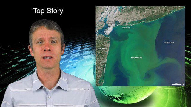
This GeoSpatial Stream broadcast discusses the massive phytoplankton blooms along both U.S. coasts and the damage they are doing; NOAA reporting record high temperatures across the globe; NASA's CubeSat Launch Initiative; industry news from Bluesky Esri, ESA, Airbus and Harris Corp.; thoughts on toxic phytoplankton and climate change; and more.
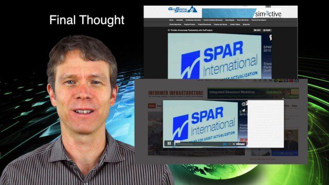
4_9 Earth Imaging Broadcast (3-D Data Capture, Drones and More)
3.77K Views0 Comments0 Likes
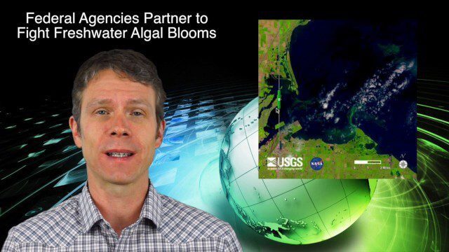
This GeoSpatial Stream broadcast discusses highlights from the recent SPAR International 3D measurement and imaging conference in Houston; federal agency partnerships to monitor and prevent dangerous algal blooms; a technology partnership to improve the efficiency of snow-grooming machines; industry news from Esri and rapidlasso; an impressive drone video; and more.
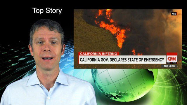
7_9 Earth Imaging Broadcast (California Fires, Drone Mayhem and More)
3.96K Views0 Comments0 Likes
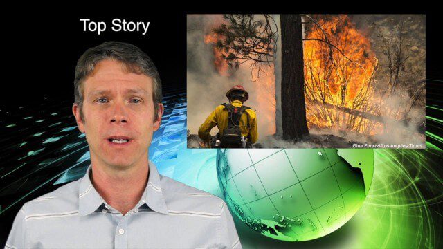
This Earth Imaging-themed GeoSpatial Stream broadcast discusses the California Lake Fire and its mapping by satellites as well as amateur drone use that disrupted firefighting; NASA's work to develop drones with sense-and-avoid systems; satellite sensors using gravity to detect depleting groundwater basins; electromagnetic survey data for geology; industry news from Orbit Logic, 4D Mapper and Lockheed Martin; thoughts on amateur drone use; and more.
6_11 Innovation Broadcast (Hexagon Conference, Iceberg Tracking and More)
3.35K Views0 Comments0 Likes
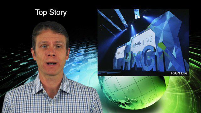
This GeoSpatial Stream broadcast discusses the latest innovation seen at the HxGN Live conference hosted by industry powerhouse Hexagon; a Canadian team tracking icebergs to understand how they drift; industry news from GeoDecisions, Esri, exactEarth, Harris Corp, FlightlineGeo and LizardTech; concluding thoughts and opinions from the Hexagon conference; singing with Elvis; and more.
4_23 Infrastructure Broadcast (Transportation, AASHTO and More)
3.35K Views0 Comments0 Likes
This Infrastructure-themed GeoSpatial Stream broadcast highlights an Earth Day video from the American Association of State Highway and Transportation Officials (AASHTO); news on infrastructure from the United States, Canada and Saudi Arabia; industry news from Topcon Positioning Group, Esri and Autodesk; a clip from an infrastructure-related interview at SPAR International; and more.

4_22 GEOINT Broadcast (Keynote Highlights, Major News and Developments, and More)
3.82K Views0 Comments0 Likes
This GeoSpatial Stream broadcast from the GEOINT Symposium in Tampa, Fla., recaps the major highlights and news from the event, including keynote addresses from James R. Clapper, Director of National Intelligence; Letitia A. Long, Director, National Geospatial-Intelligence Agency; and Lt. Gen. Michael T. Flynn, U.S. Army, Director of the Defense Intelligence Agency. The broadcast also covers major news announcements from the U.S. Geospatial Intelligence Foundation, Boeing, Surrey Satellite Technology U.S., Airbus Defense & Space, and more.
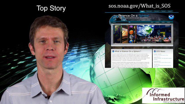
Thanksgiving Broadcast 11_25 (Science on a Sphere, JFK maps and video, nanosatellites and more)
6.91K Views0 Comments0 Likes
This Daily Digest from 11/25 covers topics such as Science on a Sphere, JFK memorial maps and video, U.S. Air Force launching 29 nanosatellites, Malaysian news and more.

4_10 GEOINT Broadcast (Special Ops Data, New Weather Satellite, GPS III and More)
4.35K Views0 Comments0 Likes
This GeoSpatial Stream broadcast discusses geospatial intelligence, its legacy and the upcoming GEOINT Symposium; a recently launched U.S. military weather satellite; GPS III developments; industry news from Headwall, Thermopylae Sciences and Technology, Trimble, Esri, DigitalGlobe, and Riegl; and more.
8_6 Wildfire Broadcast (Updates from California and Alaska, NASA and UN News, and More)
3.27K Views0 Comments0 Likes
This GeoSpatial Stream broadcast discusses the wildfires raging in California, the Pacific Northwest and especially Alaska; a NASA program to inventory Earth's surface waters; the Geovation startup hub; industry news from Esri, URISA and VisionMap; a UN video on the power of geospatial technology; and more.
2_12 Maps and Drones Broadcast (Google Maps, Drones for Good and More)
3.88K Views0 Comments0 Likes
This GeoSpatial Stream broadcast discusses the 10-year anniversary of Google Maps; the Drones for Good contest and drone privacy issues; industry news from Esri, Cadcorp and LizardTech; an unintentionally funny video from Ordnance Survey in 1965; and more.


