Category: Conference Interviews
Keith Masback Interview (USGIF CEO at GEOINT)
0 Views0 Comments0 Likes
Todd Danielson interviews Keith Masback, CEO of the U.S. Geospatial Intelligence Foundation (USGIF), at the GEOINT Symposium in Tampa, Florida. They discuss highlights of the event, the effect of the show's unexpected delay from fall 2013 to spring 2014 and what has changed since then, where and when the next event will be held, how technologies start at GEOINT and "trickle down" into the larger industry, industry integration, the wide range of companies in attendance, and more.
Introducing a Completely New Civil Conceptual Design Tool
0 Views0 Comments0 Likes
The V1 Video team interviewed Francois Valois at the 2015 Bentley Year in Infrastructure Conference in London in early November. Valois is director of product management at Bentley Systems, working on their new OpenRoads ConceptStation software, and he spoke about the workflow and the software's capabilities with its new easy-to-use interface, rules-based design tools, cost-based analysis and rich visualization.
Doug Smith Interview (Avenza Systems)
0 Views0 Comments0 Likes
Todd Danielson interviews Doug Smith, Director, Sales & Marketing, Avenza Systems, at the GEOINT Symposium in Tampa, Florida. They discuss Avenza's key products, including MAPublisher, Geographic Imager and its new PDF Maps app. All the products work with Adobe products for increased design functionality while maintaing location integrity.
Working from Reality Capture to Modeling to Consumption
0 Views0 Comments0 Likes
The V1 Video team interviewed Ted Lamboo, Senior Vice President of Reality Modeling for Bentley Systems, at the 2016 SPAR 3D Expo and Conference, held April 11-14 in The Woodlands, Texas. He discusses reality modeling and the full cycle from capture to modeling to consumption, Bentley products used in that cycle such as ContextCapture, and examples of such use in highway design and substation modeling.
Delivering Very-High-Resolution Imagery for Densely Populated Areas
0 Views0 Comments0 Likes
The V1 Video team interviewed Paul Peterson, senior vice president, Product & Engineering, nearmap, at the 2015 Esri User Conference in San Diego. The aerial imagery and visual analytics company provides timely, high-resolution and historic imagery that they recently imported to the United States from Australia. The unique sensing capacity and frequent revisits of major cities is accompanied by online analysis tools.
JE Dunn Construction Puts a Lens on Estimating
0 Views0 Comments0 Likes
The V1 Video team was at Autodesk University 2015 in Las Vegas and interviewed John Jacobs, Chief Information Officer, JE Dunn Construction. He discussed the company's "ground breaking" Lens software for project cost estimating, the company's partnership with Autodesk and its Large-Model Viewing, and the benefits of model-based estimating.
Richard Humphrey Interview (Full-Length Version)
0 Views0 Comments0 Likes
Todd Danielson interviews Richard Humphrey, senior director, Infrastructure & Collaboration Products, Autodesk. They discuss how technology can help "bridge the gaps" in infrastructure spending, the Autodesk infrastructure product suite, simulation services, information unification, rules-based design platforms, large-scale modeling, and Autodesk's ReCap product.
Ron Roth and Anders Ekelund Interview
0 Views0 Comments0 Likes
Matt Ball interviews Ron Roth, product manager, Airborne LiDAR, Leica Geosystems, and Anders Ekelund, managing director, Airborne Hydrography AB. They discuss Leica's acquisition of Airborne Hydrography AB and the bathymetric products the company creates, including its Chiroptera system.
Tom Fisher Witnesses Complete Evolution of Geodesign Summit
0 Views0 Comments0 Likes
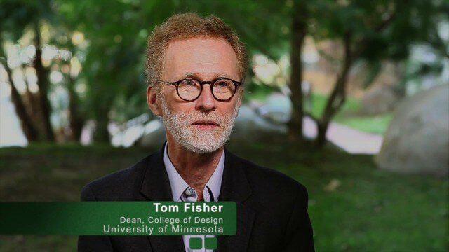
Tom Fisher, Dean of the College of Design at the University of Minnesota, emceed and moderated the 2015 Geodesign Summit, and he as attended every summit since its inception. On behalf of V1 Media, Informed Infrastructure and GeoSpatial Stream, Todd Danielson interviewed Fisher at the Geodesign Summit 2015 in Redlands, Calif.
Trimble Dimensions Interview: Matt Delano
0 Views0 Comments0 Likes
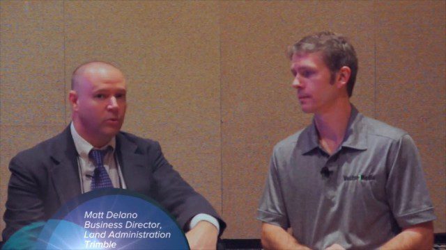
At Trimble Dimensions 2014 in Las Vegas, V1 Media's Todd Danielson interviews Matt Delano, Business Director, Land Administration, Trimble. They discuss Trimble's overall Land Administration goals and strategy; how a variety of hardware, tools and services are combined to serve the Land Administration market; how personal computing devices are affecting data collection and use; Trimble's embrace of BIM technology; and more.


