Category: Conference Interviews
InsiteVR Takes Virtual Reality Beyond Gaming, into Design
0 Views0 Comments0 Likes
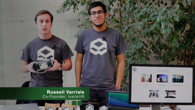
InsiteVR helps viewers better understand a variety of designs by experiencing them from a realistic perspective. On behalf of V1 Media, Informed Infrastructure and GeoSpatial Stream, Todd Danielson interviewed Angel Say and Russell Varriale, co-founders of InsiteVR, at the Geodesign Summit 2015 in Redlands, Calif.
Trimble Discusses Hardware and Software Innovation
0 Views0 Comments0 Likes
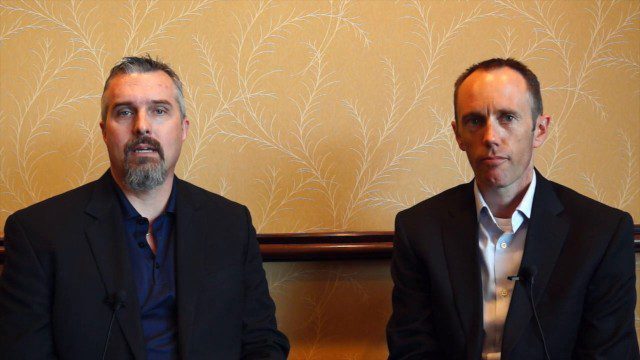
Trimble's Todd Steiner, Product Marketing Director, Imaging, and Tim Lemmon, Product Marketing Director, Geospatial Office Software, spoke with V1 Media's Todd Danielson at SPAR International, which was held March 30-April 2, 2015, in Houston, Texas. They discussed new hardware and software products, smartphones' future accuracy, the differences in platform-neutral conferences, UAV applications and more.
Traisr Makes Asset Management Simple, Safe and Secure
0 Views0 Comments0 Likes
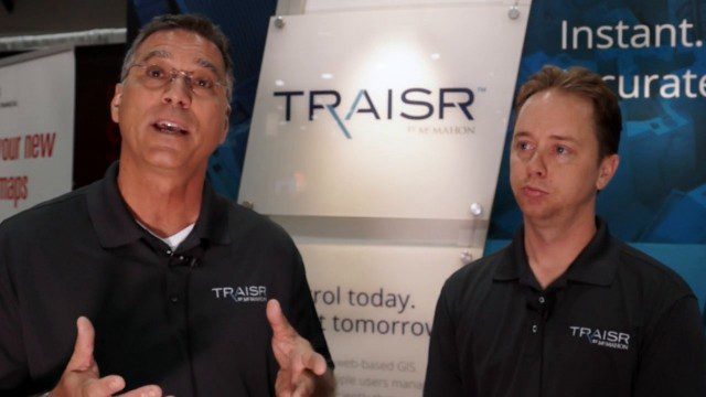
Todd Danielson interviews John DePalma, Principal, and Brian Berdel, Chief Information Officer, McMahon Associates Inc., at the 2014 Esri User Conference in San Diego. They discuss the company's new product, Traisr, which integrates with multiple platforms to monitor fixed and mobile assets as well as deliver consumer Web portals.
Factoring in Project Costs During Design
0 Views0 Comments0 Likes
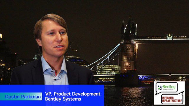
The V1 Video team interviewed Dustin Parkman at the 2015 Bentley Year in Infrastructure Conference in London in early November. Parkman, vice president of product development at Bentley Systems for their road, rail and site products, spoke about the company's new OpenRoads ConceptStation software with a focus on some of the unique benefits.
Adapting Thermal Sensors for the Small-UAS Market
0 Views0 Comments0 Likes
The V1 Video team spoke to Bruce Cumming, marketing director for emerging products at FLIR Systems, about the company’s legacy of thermal infrared imaging and its use on unmanned aircraft systems. Thermography has been used in commercial workflows for building inspection, oil and gas, electric utilities, solar energy, and more. The flexibility of UAS aerial platforms has the potential to greatly expand accessibility to thermographic insight.
NPMap Pioneers Open and Flexible Platform
0 Views0 Comments0 Likes
The V1 Video team interviewed Nate Irwin, head of the NPMap team for the National Park Service, at the USFWS/USNPS Geospatial Training Workshop. NPMap is an innovative online mapping platform that helps park visitors navigate the details of national parks as well as providing a platform for parks to customize and share maps for park management.
GEOINT Keynote: James R. Clapper, Director of National Intelligence
0 Views0 Comments0 Likes
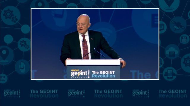
The U.S. Geospatial Intelligence Foundation (USGIF) recorded the keynote speech of James Clapper, director of National Intelligence, at the 2016 GEOINT Symposium on May 16, 2016, in Orlando, Fla.
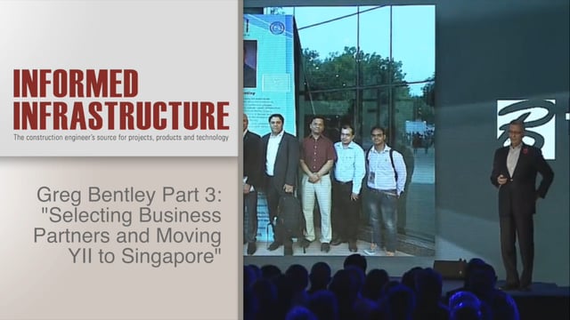
Greg Bentley Interview Part 3: Selecting Business Partners and Moving YII to Singapore
0 Views0 Comments0 Likes
Informed Infrastructure interviewed Greg Bentley, the CEO of Bentley Systems, at the Year In Infrastructure Event held Nov. 1-3, 2017, at the Hilton London Metropole. In Part 3 of this interview, he discusses some of the criteria Bentley uses to select its business partners as well as the reasoning for moving the Year In Infrastructure 2017 event to Singapore and what might be different at that event.
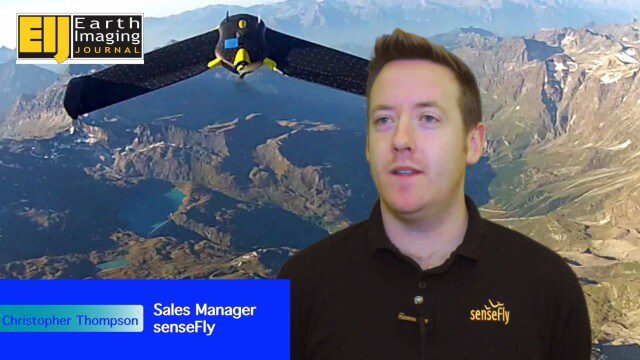
Getting Accurate Results Quickly and Cheaply with Unmanned Aircraft
0 Views0 Comments0 Likes
The V1 Video team spoke to Christopher Thompson, the sales manager for senseFly, the manufacturers of fixed-wing and rotary unmanned aircraft systems (UASs) for mapping. We talked about the broad range of applications and some interesting case studies. We also touched on the inspection capabilities of their new eXom rotary platform.


