


Category: Conference Interviews
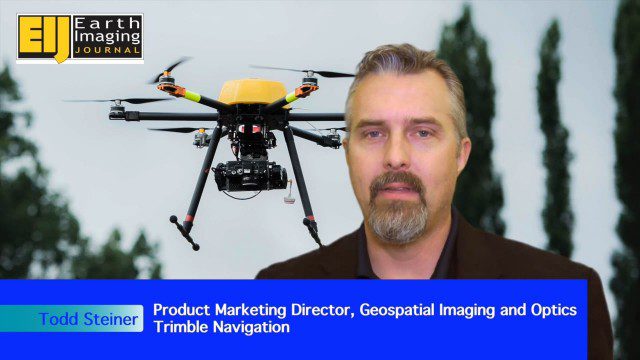
Trimble Expands UAS Fleet with Multirotor and High-Precision Systems
0 Views0 Comments0 Likes
The V1 Video team spoke to Todd Steiner, product marketing director for Trimble’s geospatial imaging and optics products (including UAVs). We talked about the new Trimble ZX5 multirotor system, which is complementary to the fixed-wing UAVs. Their new Trimble UX5-HP introduces a high-precision RTK system with reduced need for ground control.
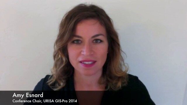
URISA Ready for Upcoming GIS-Pro Event in New Orleans
0 Views0 Comments0 Likes
Todd Danielson interviews Amy Esnard, Conference Chair for URISA's GIS-Pro event being held Sept. 8-11, 2014, in New Orleans. They discuss URISA's goals for the event, the benefits of hosting the event in New Orleans, the conference theme of "Community Resilience," and some expected program and social highlights.
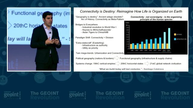
GEOINT Keynote: Parag Khanna, Author on Mapping
0 Views0 Comments0 Likes
The U.S. Geospatial Intelligence Foundation (USGIF) recorded the keynote speech of Parag Khanna, author, “Connectography: Mapping the Future of Global Civilization," at the 2016 GEOINT Symposium on May 16, 2016, in Orlando, Fla.
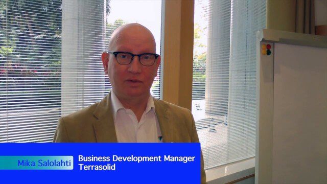
Processing and Visualizing Seamless Mobile LiDAR Point Clouds
0 Views0 Comments0 Likes
Informed Infrastructure spoke with Mika Salolahti, Business Development Manager at Terrasolid, about the processing and visualization of high-quality LiDAR point clouds. The visualization of tramlines in Helsinki, including overhanging wires, proves a powerful tool for asset management, maintenance and planning.


