


Category: Conference Interviews
OpenBridge Modeler Saves Time, Money throughout Lifecycle
3.87K Views0 Comments0 Likes
The V1 Video team interviewed Alexander Mabrich, Senior Engineering Consultant with Bentley Systems, at the 2016 NASCC: The Steel Conference, held April 13-15 in Orlando, Fla. He discusses the gap between concept and design in bridge construction, Bentley's OpenBridge Modeler product and how it can help throughout the process, and how a model can continue to be used after construction in maintenance and rehabilitation.
Decision Advantage through Data Analysis
1.98K Views0 Comments0 Likes
The V1 Video team interviewed Hugh McFadden, manager of Emerging Intelligence Programs, and Stephen Ryan, senior mission engineer with the Intelligence, Surveillance and Reconnaissance Division, both at Northrop Grumman, at the GEOINT Symposium in Washington, D.C. The pair work closely together on solutions to enhance intelligence gathering focused on threats. We discussed automation vs. human cognitive reasoning as well as conditioning sensor information—exploiting and integrating their inputs.
Ulf Mansson Moving Geodata to Minecraft
4.72K Views0 Comments0 Likes
Ulf Mansson, senior project manager for SWECO, has more than 20 years of experience in the geospatial industry. In 2013, he invented a method to stream geodata into the game Minecraft. On behalf of V1 Media, Informed Infrastructure and GeoSpatial Stream, Todd Danielson interviewed Mansson at the Geodesign Summit 2015 in Redlands, Calif.

Topcon Products Enable Mapping from Ground, Air and Vehicles
4.49K Views0 Comments0 Likes
Todd Danielson interviews Barbara McInerney, Product Marketing Manager, Topcon GeoPositioning Solutions Group, at the 2014 Esri User Conference in San Diego. They discuss Topcon's GIS and mapping solutions in three main areas: from the ground, from the air and in a vehicle.
Automating UAS Data Processing to Understand Change
2.33K Views0 Comments0 Likes
The V1 Video team spoke to Kevin Jones, the director of marketing for PCI Geomatics, about the company’s software to extract information from imagery. The commercial UAS market is a promising input to their image-processing tools, particularly with their automated information-extraction tools, to detect changes.

Doug Smith Interview (Avenza Systems)
3.07K Views0 Comments0 Likes
Todd Danielson interviews Doug Smith, Director, Sales & Marketing, Avenza Systems, at the GEOINT Symposium in Tampa, Florida. They discuss Avenza's key products, including MAPublisher, Geographic Imager and its new PDF Maps app. All the products work with Adobe products for increased design functionality while maintaing location integrity.
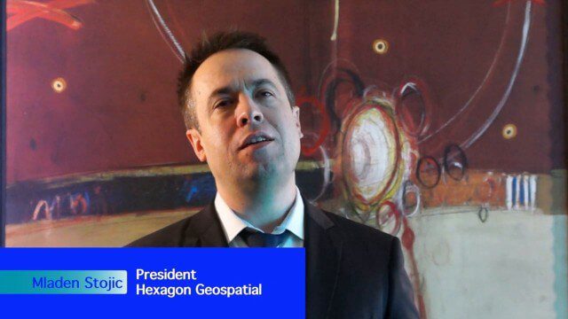
Hexagon Geospatial Unveils Cloud Strategy
3.43K Views0 Comments0 Likes
V1 Media and GeoSpatial Stream attended HxGN Live, Hexagon's annual user conference, at the MGM Grand in Las Vegas from June 1-4, 2015. They interviewed Mladen Stojic, President of Hexagon Geospatial, who discussed the evolution of geospatial data and introduced the company's three-pronged strategy for cloud implementation.

Creating 3D Models from Drone Imagery
2.76K Views0 Comments0 Likes
The V1 Video team interviewed Antoine Martin, Business Manager of Pix4D’s operations in the United States, at the 2015 Esri User Conference in San Diego. We spoke about the growing interest in creating useful data from drone platforms as well as the many use cases for Pix4Dmapper software for automated image processing. The company has focused on the simplification of photogrammetric science to enable users to create accurate maps and 3D models from this imagery.
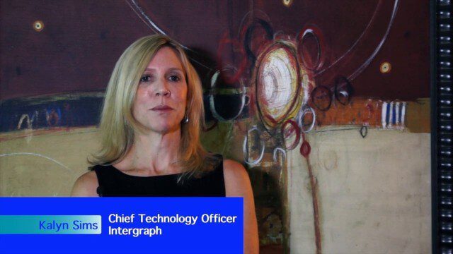
Intergraph Integrates Public-Safety Technology
3.01K Views0 Comments0 Likes
V1 Media and GeoSpatial Stream attended HxGN Live, Hexagon's annual user conference, at the MGM Grand in Las Vegas from June 1-4, 2015. They interviewed Kalyn Sims, Chief Technology Officer at Intergraph, who discussed modern computer-aided dispatch, Intergraph's public-safety technology ecosystem, Big Data challenges, evolving patrol work and the rise of UAVs.
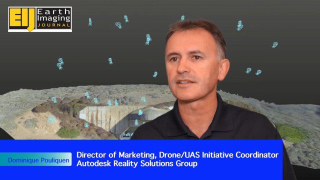
Autodesk Enabling Automated UAV Data Processing in the Cloud
2.09K Views0 Comments0 Likes
The V1 Video team spoke to Dominique Pouliquen, director of marketing and Drone/UAS Initiative Coordinator for Autodesk’s Reality Systems Group, about his group’s focus on bridging sensor inputs with the company’s extensive line of design and engineering software. They are breaking down the barrier for UAV users to process and create products that are aligned to specific applications such as construction monitoring, mining and cultural heritage.


