


Category: Conference Interviews

Jon Skiffington Interview (LizardTech)
0 Views0 Comments0 Likes
Todd Danielson interviews Jon Skiffington, Director, Product Management, LizardTech, at the GEOINT Symposium in Tampa, Florida. They discuss LizardTech's MrSID product and how it compresses imagery and other large datasets, GEOINT imagery users, GeoExpress and Express Server 9, and the company Web site.
The Challenges and Benefits of Interoperability
0 Views0 Comments0 Likes
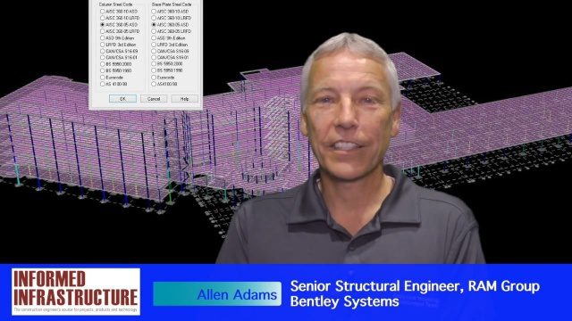
The V1 Video team interviewed Allen Adams, Senior Structural Engineer, RAM Group, Bentley Systems, at the 2016 NASCC: The Steel Conference, held April 13-15 in Orlando, Fla. He discusses the major challenges of interoperability in the infrastructure industry, Bentley Systems' approach to these difficulties, what it looks like when data isn't open to others within an organization, and how Bentley software saves its clients time and money.

Tim Lemmon and Todd Steiner Interview (Trimble)
0 Views0 Comments0 Likes
Matt Ball interviews Trimble's Tim Lemmon, Marketing Director, Geospatial Software Solutions, and Todd Steiner, Marketing Director, Geospatial Imaging Solutions, at SPAR International in Colorado Springs, Colo. They discuss Trimble's integration between hardware and software so customers can make better business decisions, the changing role of the surveyor, and a variety of new hardware and software products.
NPMap Pioneers Open and Flexible Platform
0 Views0 Comments0 Likes
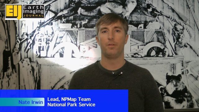
The V1 Video team interviewed Nate Irwin, head of the NPMap team for the National Park Service, at the USFWS/USNPS Geospatial Training Workshop. NPMap is an innovative online mapping platform that helps park visitors navigate the details of national parks as well as providing a platform for parks to customize and share maps for park management.
Solving the Site Engineering Cost Problem with SITEOPS
0 Views0 Comments0 Likes
Bentley Systems has had a stake in SITEOPS since 2010 and completed the acquisition in August 2014. Informed Infrastructure spoke to Mike Detwiler, vice president, SITEOPS Product Development, about this innovative cloud-based site-development tool that is being widely used in construction. This product is now being integrated across Bentley's other offerings, with intelligent 3-D data models carried throughout the project workflow.
PrecisionHawk Making a Marketplace for UAS Data Management and Analysis
0 Views0 Comments0 Likes
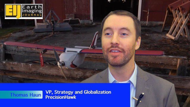
The V1 Video team spoke with Thomas Haun, vice president of strategy and globalization at PrecisionHawk, at the recent Commercial UAV Expo. PrecisionHawk has developed a fixed-wing UAS as well as an online data management and analysis platform to help data collectors provide insight. We talked about the agriculture market, the flexibility of using different sensor payloads and acting on information.

The Farm Forum Event 2013: Matt Ball Interview
0 Views0 Comments0 Likes
Matt Ball is the founder and editor of Vector1 Media, with publications Sensors & Systems, Informed Infrastructure and Asian Surveying & Mapping. He has been promoting the application of sensors, systems, models and simulation for the better stewardship of our planet for the past 15 years. The first ten years of that span were as editor of GeoWorld magazine and show manager of the GeoTec Event, Canada's largest GIS conference.

Patrick Collins Interview
0 Views0 Comments0 Likes
Matt Ball interviews Patrick Collins, Technical Solutions Engineer, Exelis Visual Information Solutions. They discuss the increasing size of LiDAR data and the tools to handle such volume as well as the variety of ways image data can be analyzed, including automated feature extraction.

A CEO’s Perspective on the Year in Infrastructure: Greg Bentley, CEO, Bentley Systems
0 Views0 Comments0 Likes
The Year in Infrastructure event, which includes the Be Inspired Awards, is a unique event that brings together leading infrastructure companies from around the globe to showcase projects and process improvement. Informed Infrastructure spoke with Greg Bentley, CEO of Bentley Systems, about the evolving role of "software at your service." We spoke about engineering as an outcome-based service, the Chinese adoption of BIM technology, the UK government's commitment to BIM, and improved process outcomes.
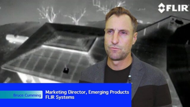
Adapting Thermal Sensors for the Small-UAS Market
0 Views0 Comments0 Likes
The V1 Video team spoke to Bruce Cumming, marketing director for emerging products at FLIR Systems, about the company’s legacy of thermal infrared imaging and its use on unmanned aircraft systems. Thermography has been used in commercial workflows for building inspection, oil and gas, electric utilities, solar energy, and more. The flexibility of UAS aerial platforms has the potential to greatly expand accessibility to thermographic insight.


