


Category: Conference Interviews
Bentley Looks to Leverage the Cloud Across Projects
4.57K Views0 Comments0 Likes
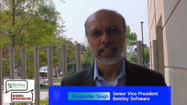
Informed Infrastructure spoke to Bhupindher Singh, senior vice president of Bentley Software, at the company’s CONNECTION roadshow kickoff in Philadelphia. We touched on the launch of the company’s CONNECT Edition to use the cloud to collaborate and provide value across the enterprise.
Autodesk and the Future of the Built Environment
4.55K Views0 Comments0 Likes
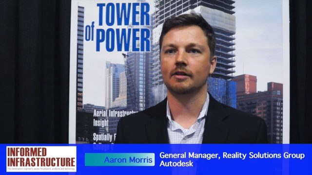
The V1 Video team interviewed Aaron Morris, General Manager of the Reality Solutions Group at Autodesk, at the 2016 SPAR 3D Expo and Conference, held April 11-14 in The Woodlands, Texas. He discusses several new developments at Autodesk, including the company's ReCap products and its new pricing model, new data services to make analysis easier, scan-to-mesh services for asset management, and how reality capture will replace existing methods of asset documentation.
Autodesk’s Aaron Morris Discusses Reality Computing
4.50K Views0 Comments0 Likes
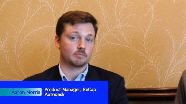
Aaron Morris is the ReCap Product Manager at Autodesk, and he spoke with V1 Media's Todd Danielson at SPAR International, which was held March 30-April 2, 2015, in Houston, Texas. They discussed spatial sensor data, reality computing, Autodesk product developments and enhancements, UAV applications and more.
Exciting Times for Road and Rail Infrastructure
4.49K Views0 Comments0 Likes
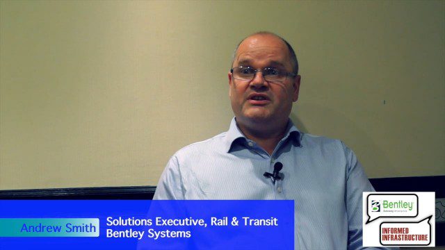
The V1 Video team interviewed Andrew Smith at the 2015 Bentley Year in Infrastructure Conference in London in early November. Smith is a Solutions Executive, Rail & Transit, for Bentley Systems, and he discussed new technologies in rail design and construction, London's Crossrail project and its effect on BIM, and evolving business processes affecting the industry.

Topcon Products Enable Mapping from Ground, Air and Vehicles
4.49K Views0 Comments0 Likes
Todd Danielson interviews Barbara McInerney, Product Marketing Manager, Topcon GeoPositioning Solutions Group, at the 2014 Esri User Conference in San Diego. They discuss Topcon's GIS and mapping solutions in three main areas: from the ground, from the air and in a vehicle.
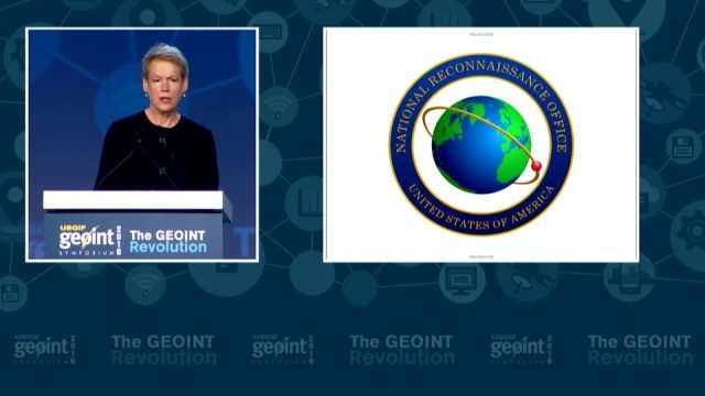
GEOINT Keynote: Betty J. Sapp, Director, NRO
4.43K Views0 Comments0 Likes
The U.S. Geospatial Intelligence Foundation (USGIF) recorded the keynote speech of Betty J. Sapp, director, National Reconnaissance Office, at the 2016 GEOINT Symposium on May 16, 2016, in Orlando, Fla.

Richard Humphrey Interview (Full-Length Version)
4.34K Views0 Comments0 Likes
Todd Danielson interviews Richard Humphrey, senior director, Infrastructure & Collaboration Products, Autodesk. They discuss how technology can help "bridge the gaps" in infrastructure spending, the Autodesk infrastructure product suite, simulation services, information unification, rules-based design platforms, large-scale modeling, and Autodesk's ReCap product.
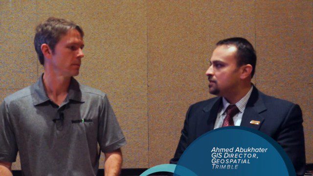
Trimble Dimensions Interview: Ahmed Abukhater
4.22K Views0 Comments0 Likes
At Trimble Dimensions 2014 in Las Vegas, V1 Media's Todd Danielson interviews Ahmed Abukhater, Marketing Director, GIS, Trimble. They discuss Trimble's suite of geospatial products and how they benefit and empower customers; office-to-field workflows; the Trimble InSphere geospatial cloud platform; data management opportunities and actionable data; Trimble TerraFlex data-collection software; data processing and purpose; balancing new acquisitions and existing brands; and more.

Richard Humphrey Autodesk Interview (Short Version)
4.19K Views0 Comments0 Likes
In this condensed version, Todd Danielson interviews Richard Humphrey, senior director, Infrastructure Products, Autodesk. They discuss how technology can help "bridge the gaps" in infrastructure spending, simulation services, and large-scale modeling.
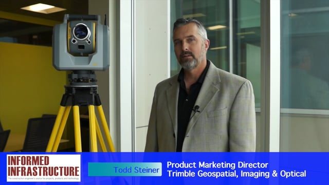
Trimble SX10 Scanning Total Station Brings “Both Worlds” to Surveyors
4.10K Views0 Comments0 Likes
Informed Infrastructure and V1 Media interviewed Todd Steiner, Product Marketing Director, Trimble Geospatial, Imaging & Optical Division, at the corporate launch of the company's new SX10 scanning total station. He discussed how combining a laser scanner with a total station is expected to be a "game changer" for surveyors who will no longer need to decide on one or the other technology before heading to the field.


