


Category: Conference Interviews
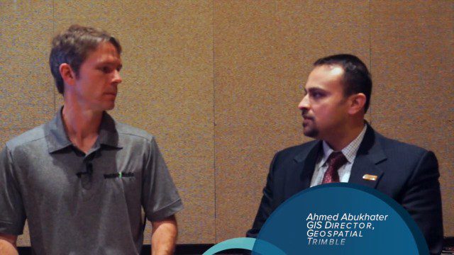
Trimble Dimensions Interview: Ahmed Abukhater
0 Views0 Comments0 Likes
At Trimble Dimensions 2014 in Las Vegas, V1 Media's Todd Danielson interviews Ahmed Abukhater, Marketing Director, GIS, Trimble. They discuss Trimble's suite of geospatial products and how they benefit and empower customers; office-to-field workflows; the Trimble InSphere geospatial cloud platform; data management opportunities and actionable data; Trimble TerraFlex data-collection software; data processing and purpose; balancing new acquisitions and existing brands; and more.
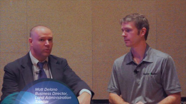
Trimble Dimensions Interview: Matt Delano
0 Views0 Comments0 Likes
At Trimble Dimensions 2014 in Las Vegas, V1 Media's Todd Danielson interviews Matt Delano, Business Director, Land Administration, Trimble. They discuss Trimble's overall Land Administration goals and strategy; how a variety of hardware, tools and services are combined to serve the Land Administration market; how personal computing devices are affecting data collection and use; Trimble's embrace of BIM technology; and more.
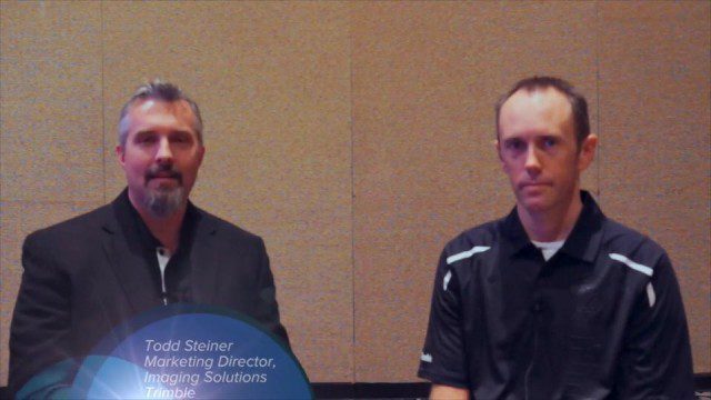
Trimble Dimensions Interview: Todd Steiner and Tim Lemmon
0 Views0 Comments0 Likes
At Trimble Dimensions 2014 in Las Vegas, V1 Media's Todd Danielson interviews Trimble's Todd Steiner, Marketing Director for Imaging Solutions, and Tim Lemmon, Office Software Director for Geospatial. They discuss Trimble's core history of surveying and GPS products; new visualization and imaging tools; software geared toward a variety of geospatial vertical markets; the evolving role of the surveyor; and more.
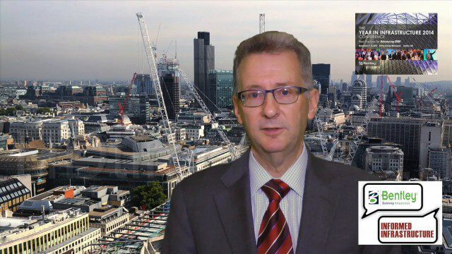
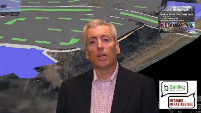
A CEO’s Perspective on the Year in Infrastructure: Greg Bentley, CEO, Bentley Systems
0 Views0 Comments0 Likes
The Year in Infrastructure event, which includes the Be Inspired Awards, is a unique event that brings together leading infrastructure companies from around the globe to showcase projects and process improvement. Informed Infrastructure spoke with Greg Bentley, CEO of Bentley Systems, about the evolving role of "software at your service." We spoke about engineering as an outcome-based service, the Chinese adoption of BIM technology, the UK government's commitment to BIM, and improved process outcomes.
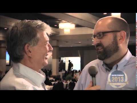
The Farm Forum Event 2013: Matt Ball Interview
0 Views0 Comments0 Likes
Matt Ball is the founder and editor of Vector1 Media, with publications Sensors & Systems, Informed Infrastructure and Asian Surveying & Mapping. He has been promoting the application of sensors, systems, models and simulation for the better stewardship of our planet for the past 15 years. The first ten years of that span were as editor of GeoWorld magazine and show manager of the GeoTec Event, Canada's largest GIS conference.
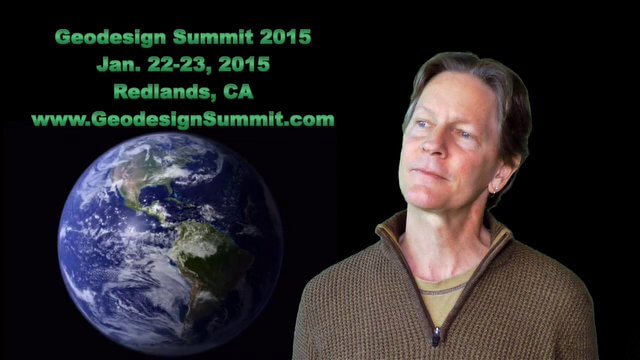
2015 Geodesign Summit Rapidly Approaching, Highlights Discussed
0 Views0 Comments0 Likes
Shannon McElvaney, Esri's Community Development Manager, notes some of the speaker and event highlights for the upcoming 2015 Geodesign Summit to be held Jan. 22-23, 2015, in Redlands, Calif. This "transdisciplinary" event has a place for anyone looking to help create a better world through informed, collaborative design.
Solving the Site Engineering Cost Problem with SITEOPS
0 Views0 Comments0 Likes
Bentley Systems has had a stake in SITEOPS since 2010 and completed the acquisition in August 2014. Informed Infrastructure spoke to Mike Detwiler, vice president, SITEOPS Product Development, about this innovative cloud-based site-development tool that is being widely used in construction. This product is now being integrated across Bentley's other offerings, with intelligent 3-D data models carried throughout the project workflow.
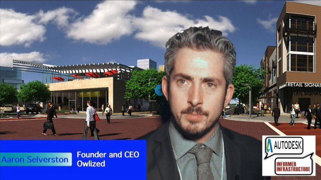
Bringing the Model to the People
0 Views0 Comments0 Likes
Informed Infrastructure spoke with Aaron Selverston, Founder and CEO, Owlized, at Autodesk University 2014 in Las Vegas. The Owl is a virtual reality device that presents a 3-D model of planned changes in the familiar form factor of a coin-operator binocular. Users approach the device and look into a registered model to see how familiar surroundings will evolve. Our conversation touched on the need for a more informative outreach method to guide urban transformation.
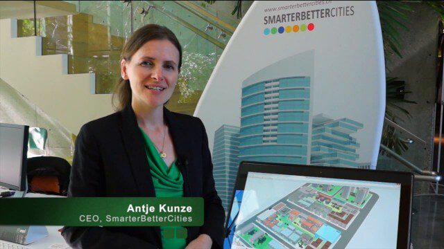
SmarterBetterCities Returns to Geodesign Summit
0 Views0 Comments0 Likes
SmarterBetterCities uses innovative Web-based tools, such as Cloud Cities and 3D Cities Libraries, that allow users to create 3D content and scenarios for urban planning. On behalf of V1 Media, Informed Infrastructure and GeoSpatial Stream, Todd Danielson interviewed Antje Kunze, CEO of SmarterBetterCities, at the Geodesign Summit 2015 in Redlands, Calif.
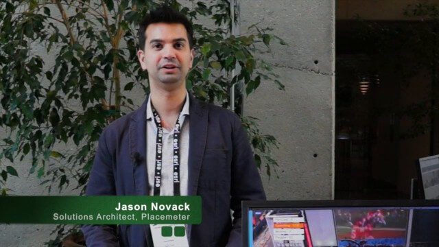
Placemeter Building Real-Time Dynamic Data Layer
0 Views0 Comments0 Likes
Placemeter collects and serves up-to-the-minute information such as how crowded a place is, how long the wait is, and whether it will get more or less crowded in the next hour. On behalf of V1 Media, Informed Infrastructure and GeoSpatial Stream, Todd Danielson interviewed Jason Novack, solutions architect at Placemeter, at the Geodesign Summit 2015 in Redlands, Calif.


