


Category: Conference Interviews
Trimble Discusses Hardware and Software Innovation
0 Views0 Comments0 Likes
Trimble's Todd Steiner, Product Marketing Director, Imaging, and Tim Lemmon, Product Marketing Director, Geospatial Office Software, spoke with V1 Media's Todd Danielson at SPAR International, which was held March 30-April 2, 2015, in Houston, Texas. They discussed new hardware and software products, smartphones' future accuracy, the differences in platform-neutral conferences, UAV applications and more.
Airbus Defense and Space Dealing with Big Data Management and Delivery Issues
0 Views0 Comments0 Likes
The V1 Video team interviewed Jessi Dick, Senior Marketing Manager of Online and Software Partnerships at Airbus Defence and Space, at the 2015 Esri User Conference in San Diego. We spoke about the growing volumes of data and the company’s tools managing data via portals, systems, streaming services and custom solutions.
Bhupinder Singh Interview Full Version
0 Views0 Comments0 Likes
Todd Danielson interviews Bhupinder Singh, senior vice president, Bentley Software. They discuss Bentley's "Connected Approach" to software design, how to take advantage of Technology Disruptions, Bentley's engineering approach called "Optioneering," the ProjectWise Construction Work Package Server product, the Bentley Year In Infrastructure Event, and "What's Next?" for Bentley in 2014.
Data Leading a Geospatial Revolution
0 Views0 Comments0 Likes
The V1 Video team interviewed Scott Jachimski, director of Data Science at Booz Allen Hamilton, at the GEOINT Symposium in Washington, D.C. We spoke about data science and the need to improve our ability to leverage the mass amounts of data that we’re collecting. Booz Allen Hamilton is leveraging analytical workflows and bringing disparate data together in a “data lake” approach that brings them out of silos to allow the data to help tell you what to do.
Factoring in Project Costs During Design
0 Views0 Comments0 Likes
The V1 Video team interviewed Dustin Parkman at the 2015 Bentley Year in Infrastructure Conference in London in early November. Parkman, vice president of product development at Bentley Systems for their road, rail and site products, spoke about the company's new OpenRoads ConceptStation software with a focus on some of the unique benefits.
Profile Soil Solutions Software (PS3) Explained
0 Views0 Comments0 Likes
The V1 Video team spoke with Matthew Welch, Technical Manager, Profile Products, at the International Erosion Control Association (IECA) Environmental Connection 2016 event held in San Antonio in February 2016. He explained the five key components of a PS3 implementation, the importance of having quality scientific data, value engineering and more.
Geodesign Leader Discusses Concepts from “Earthship” Home
0 Views2 Comments0 Likes
Shannon McElvaney, Esri's Community Development Manager, spoke with Matt Ball, V1 Media's founder and editorial director, from his "Earthship" home in Colorado Springs, Colo., on Jan. 2., 2015, just weeks before the Geodesign Summit 2015. McElvaney is instrumental in holding the annual summit, and he discusses his thoughts on geodesign and connected construction.
Cyndi Smith Interview
0 Views0 Comments0 Likes
Todd Danielson interviews Cyndi Smith, solutions executive, Utilities and Communications, Bentley Systems. They talk about new innovations for Electric Utilities as well as the Bentley Substation product.

Jon Skiffington Interview (LizardTech)
0 Views0 Comments0 Likes
Todd Danielson interviews Jon Skiffington, Director, Product Management, LizardTech, at the GEOINT Symposium in Tampa, Florida. They discuss LizardTech's MrSID product and how it compresses imagery and other large datasets, GEOINT imagery users, GeoExpress and Express Server 9, and the company Web site.
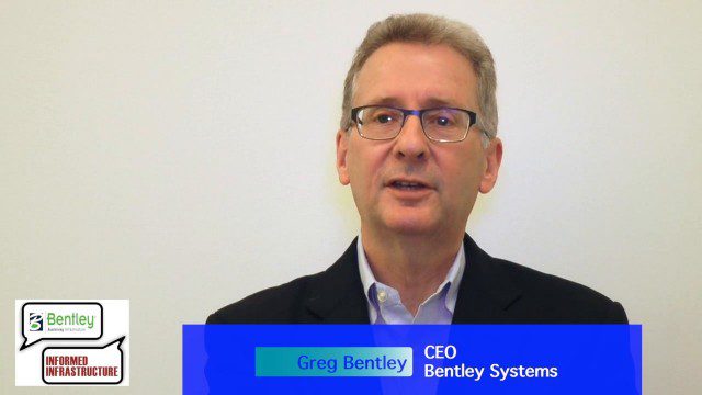
Greg Bentley: Extending the Intelligent Model
0 Views0 Comments0 Likes
Informed Infrastructure spoke to Greg Bentley, CEO of Bentley Systems, at the company’s CONNECTION roadshow kickoff in Philadelphia. We spoke about the company’s announcements at the event as well as their continued extension of intelligent modeling to better-performing assets and projects.


