Category: Conference Interviews
RIEGL Creating 3D Data for Improved Disaster Response
0 Views0 Comments0 Likes
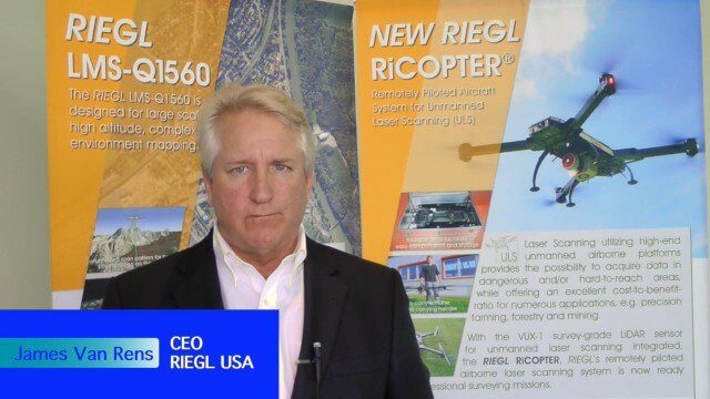
The V1 Video team interviewed James Van Rens, CEO of RIEGL USA, at the 2015 Esri User Conference in San Diego. We spoke at the 3D Mapping Forum, focusing on the need to map the shoreline for improved disaster response. The company also showcased its new RiCOPTER mapping drone.
Ron Roth and Anders Ekelund Interview
0 Views0 Comments0 Likes
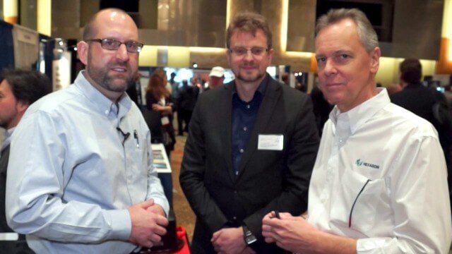
Matt Ball interviews Ron Roth, product manager, Airborne LiDAR, Leica Geosystems, and Anders Ekelund, managing director, Airborne Hydrography AB. They discuss Leica's acquisition of Airborne Hydrography AB and the bathymetric products the company creates, including its Chiroptera system.
Safe Software Bringing Data Translation to Geodesign
0 Views0 Comments0 Likes
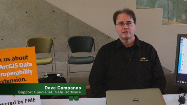
Safe Software is the maker of FME and a global leader in spatial data transformation technology. On behalf of V1 Media, Informed Infrastructure and GeoSpatial Stream, Todd Danielson interviewed Dave Campanas, software support specialist at Safe Software, at the Geodesign Summit 2015 in Redlands, Calif.
Simon Kresser and Markus Mettenleiter (Z+F) Interview
0 Views0 Comments0 Likes
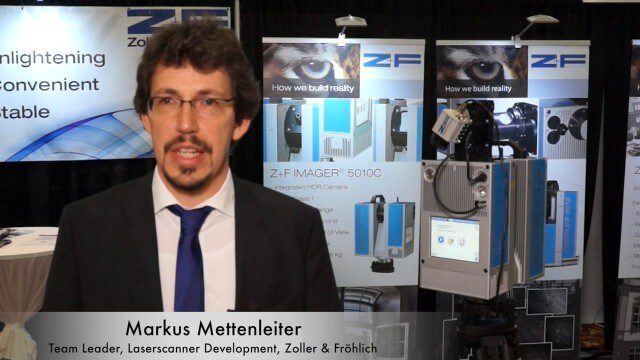
Matt Ball interviews Zoller and Fröhlich's Simon Kresser, Marketing, and Markus Mettenleiter, Team Leader, Laserscanner Development, at SPAR International in Colorado Springs, Colo. They discuss Z+F's new laserscanner features and accessories, company goals, a product tour, thermal cameras and uses, and more.
Single-Rotor Camcopter Extends Range and Flight Times
0 Views0 Comments0 Likes
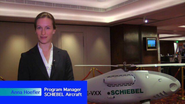
Informed Infrastructure spoke with Anna Katharina Hoefler, program manager at SCHIEBEL, at the RIEGL LiDAR Conference in Hong Kong. The rugged and large-scale single-rotor CAMCOPTER has a flight time of greater than six hours and a range from 50-200 kilometers.
SKUR Helps Engineers Visualize Variance
0 Views0 Comments0 Likes
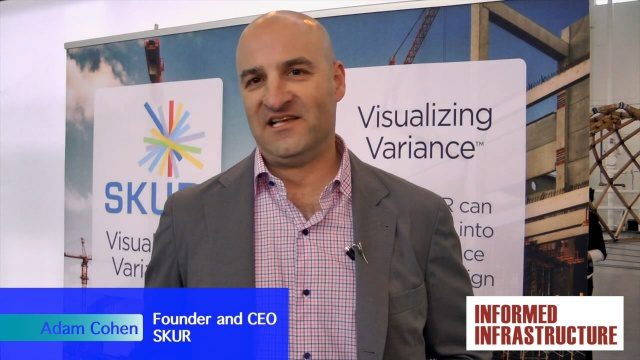
The V1 Video team interviewed Adam Cohen, Founder and CEO of SKUR, at the REAL 2016 event in San Francisco. He discussed what SKUR does and how it can help engineers visualize variance, what DIFF means and its importance, and key utilizations of SKUR technology.
SmarterBetterCities Interview at GeoDesign Summit
0 Views1 Comments0 Likes
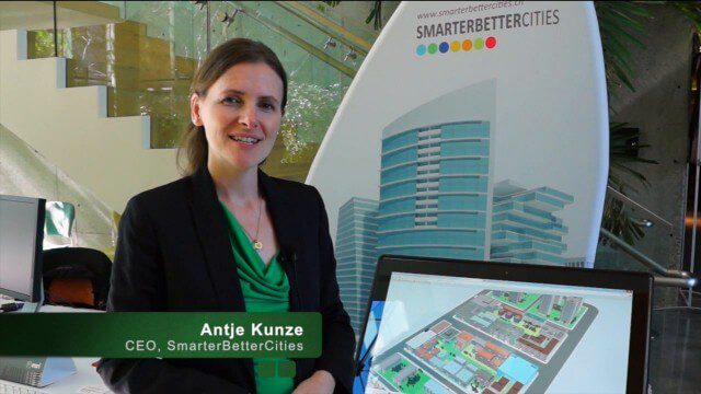
Todd Danielson interviews Antje Kunze, CEO and founder of SmarterBetterCities, which is based out of Zurich, Switzerland. They discuss the software company's vision for holistic urban planning as well as its tools for achieving those goals.
SmarterBetterCities Returns to Geodesign Summit
0 Views0 Comments0 Likes
SmarterBetterCities uses innovative Web-based tools, such as Cloud Cities and 3D Cities Libraries, that allow users to create 3D content and scenarios for urban planning. On behalf of V1 Media, Informed Infrastructure and GeoSpatial Stream, Todd Danielson interviewed Antje Kunze, CEO of SmarterBetterCities, at the Geodesign Summit 2015 in Redlands, Calif.
Software Interoperability Leads to Engineering Productivity
0 Views0 Comments0 Likes
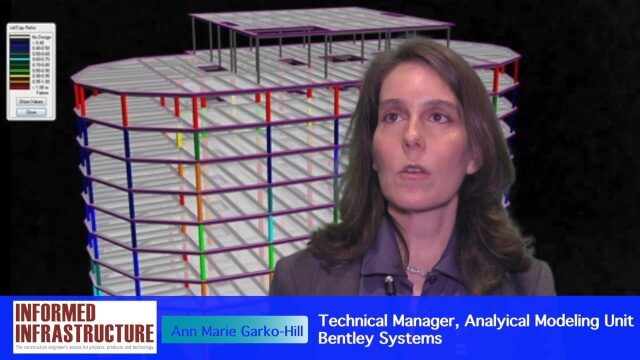
The V1 Video team interviewed Anne Marie Garko-Hill, Technical Manger, Analytical Modeling Unit, Bentley Systems, at the 2016 NASCC: The Steel Conference, held April 13-15 in Orlando, Fla. She discusses engineers' desire for maximum productivity, Bentley Systems' affinity for developers with design experience, the benefits of Bentley software for its users, and how interoperability leads to greater productivity.
Solving the Site Engineering Cost Problem with SITEOPS
0 Views0 Comments0 Likes
Bentley Systems has had a stake in SITEOPS since 2010 and completed the acquisition in August 2014. Informed Infrastructure spoke to Mike Detwiler, vice president, SITEOPS Product Development, about this innovative cloud-based site-development tool that is being widely used in construction. This product is now being integrated across Bentley's other offerings, with intelligent 3-D data models carried throughout the project workflow.


