Category: Conference Interviews
Harris Tracks and Responds to Earth Observing Transformations
0 Views0 Comments0 Likes
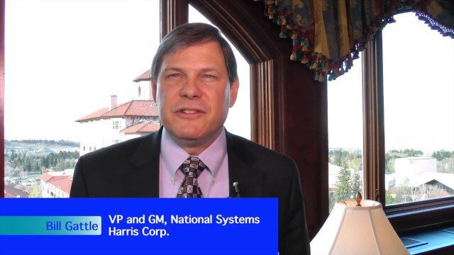
Earth Imaging Journal spoke with Bill Gattle, vice president and general manager of national systems at Harris, with responsibility for space and intel business (commercial and government) as well as geospatial, imagery and Earth-observing technologies. We spoke about sensing, processing and providing actionable information to the marketplace. The accessibility of space, commercialization of sensors and high-powered analytics is transforming the market and expanding the applications and insights.
GEOINT Keynote: Stephen P. Welby, Assistant Secretary of Defense for Research and Engineering
0 Views0 Comments0 Likes
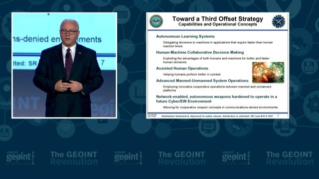
The U.S. Geospatial Intelligence Foundation (USGIF) recorded the keynote speech of Stephen P. Welby, Assistant Secretary of Defense for Research and Engineering, at the 2016 GEOINT Symposium on May 16, 2016, in Orlando, Fla.
3D City Modeling Coming of Age through Innovation
0 Views0 Comments0 Likes
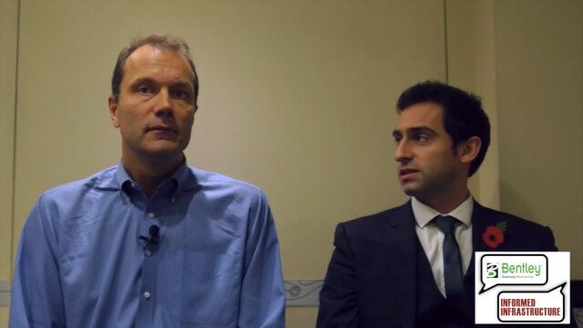
The V1 Video team interviewed Bob Mankowski and Aidan Mercer at the 2015 Bentley Year in Infrastructure Conference in London in early November. Mankowski is vice president of Bentley Software, and Mercer is senior marketing manager for Bentley Systems, and they discussed 3D city modeling, reality meshes, ContextCapture and their thoughts on the Year In Infrastructure 2015 event.
Hearing the Voice of the Customer
0 Views0 Comments0 Likes
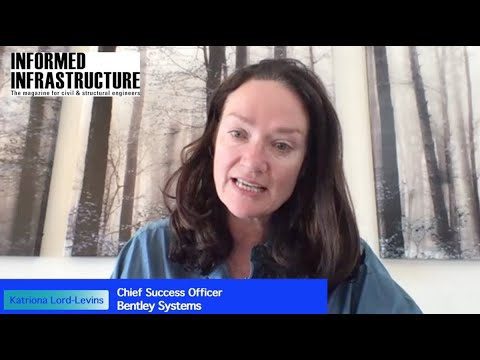
Todd Danielson, Informed Infrastructure's editorial director, interviewed Katriona Lord-Levins, the chief success officer for Bentley Systems, via webcam.
Airbus Defense and Space Dealing with Big Data Management and Delivery Issues
0 Views0 Comments0 Likes
The V1 Video team interviewed Jessi Dick, Senior Marketing Manager of Online and Software Partnerships at Airbus Defence and Space, at the 2015 Esri User Conference in San Diego. We spoke about the growing volumes of data and the company’s tools managing data via portals, systems, streaming services and custom solutions.
InsiteVR Takes Virtual Reality Beyond Gaming, into Design
0 Views0 Comments0 Likes
InsiteVR helps viewers better understand a variety of designs by experiencing them from a realistic perspective. On behalf of V1 Media, Informed Infrastructure and GeoSpatial Stream, Todd Danielson interviewed Angel Say and Russell Varriale, co-founders of InsiteVR, at the Geodesign Summit 2015 in Redlands, Calif.
Ball Aerospace Delivers Science-Driven Sensors
0 Views0 Comments0 Likes
Ball Aerospace is a unique entity that delivers imaging instruments as well as full satellites, bringing scientists and engineers together to optimize sensor and spacecraft design. Earth Imaging Journal spoke with Tim Holden, director of advanced systems at Ball Aerospace, about sensor development, the commercialization of space and opportunities in remote sensing with increased temporal revisits.
Greg Bentley Interview Part 2: Lifecycle Management, Productizing Services and Tech Uptake in Construction
0 Views0 Comments0 Likes
Informed Infrastructure interviewed Greg Bentley, the CEO of Bentley Systems, at the Year In Infrastructure Event held Nov. 1-3, 2017, at the Hilton London Metropole. In Part 2 of this interview, he discusses the importance of lifecycle management and the "productizing" of services as well as his thoughts on the slow uptake of technology in construction and how it can be overcome.
Airbus Defence and Space Launches WorldDEM DTM
0 Views0 Comments0 Likes
Airbus Defence and Space released its global elevation model that was captured by the twin TerraSAR-X and TanDEM-X radar satellites in 2014 and now is producing Digital Terrain Models based on this dataset. The 12-meter-resolution pole-to-pole elevation data are a major improvement upon the commonly used 30-meter USGS SRTM data. Earth Imaging Journal spoke with Gertrud Riegler, WorldDEM Product Manager, Airbus Defence and Space, at the International Space Symposium about this new dataset and its many uses.
Value Engineering for Site Planning and Preparation
0 Views0 Comments0 Likes
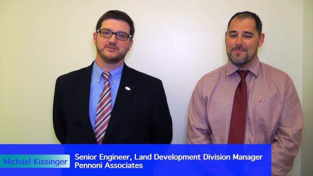
Informed Infrastructure spoke with Michael Kissinger, senior engineer and Land Development Division Manager at Pennoni Associates, and Steve Lewis, single point of contact for Pennoni’s Bentley SITEOPS business. We touched on their creative use of the SITEOPS site-planning tool on a variety of projects to win and retain business.


