Category: Conference Interviews
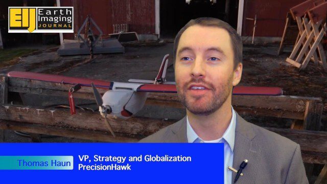
PrecisionHawk Making a Marketplace for UAS Data Management and Analysis
2.12K Views0 Comments0 Likes
The V1 Video team spoke with Thomas Haun, vice president of strategy and globalization at PrecisionHawk, at the recent Commercial UAV Expo. PrecisionHawk has developed a fixed-wing UAS as well as an online data management and analysis platform to help data collectors provide insight. We talked about the agriculture market, the flexibility of using different sensor payloads and acting on information.
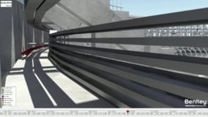
Microsoft’s Nancy Li Talks about Mixed Reality in Construction
3.33K Views0 Comments0 Likes
Todd Danielson, the editorial director of Informed Infrastructure, interviewed Nancy Li, Microsoft's global head of partnerships and industry solutions for its Mixed Reality and AI Perception Group.
Matt Zbysenski Interview (IES Engineering)
3.80K Views0 Comments0 Likes
Matt Ball interviews Matt Zbysenski, Piping Designer, IES Engineering, at SPAR International in Colorado Springs, Colo. They discuss LiDAR in the construction workflow, safety mitigation, cost/time savings, pre-fabricated construction, and oil & gas uses.
Hexagon’s Schmidt Discusses Water Solutions
2.95K Views0 Comments0 Likes
Todd Danielson interviews Justin Schmidt, Executive Manager, Hexagon Solutions, at the HxGN LIVE event in Las Vegas, Nevada. They discuss the Hexagon Smart H2O Solution (the foundation for Hexagon Solutions), complete water systems and their challenges, dam monitoring and failures, and more.
Patrick Collins Interview
3.55K Views0 Comments0 Likes
Matt Ball interviews Patrick Collins, Technical Solutions Engineer, Exelis Visual Information Solutions. They discuss the increasing size of LiDAR data and the tools to handle such volume as well as the variety of ways image data can be analyzed, including automated feature extraction.
Analytics, Ease of Use and Accessibility at Esri
1.87K Views0 Comments0 Likes
The V1 Video team interviewed Brian Lehman, director of Defense Business Development at Esri, at the GEOINT Symposium in Washington, D.C. We spoke about task-driven workflows that streamline multi-step processes, incorporating automation to ease the tedious nature of some lengthy geospatial processing and analysis functions. The company has developed a number of analytic tools that also ease integration, harnessing the power of geography to integrate intelligence data.
David Huie and David Burdick: Reality Capture and Modeling, LumenRT, and Visualization for Communication
3.95K Views0 Comments0 Likes
Informed Infrastructure interviewed Bentley Systems' David Huie, Product Marketing, Reality Modeling, and David Burdick, Market Development, Visualization, at the Year In Infrastructure Event held Nov. 1-3, 2017, at the Hilton London Metropole. They take turns discussing Bentley's latest advances in reality capture and modeling, including its LumenRT product, as well as how to best use visualization for communication with the expanding amount of "non-technical" stakeholders.
Extending Geospatial Capabilities to Support Government Missions
2.32K Views0 Comments0 Likes
The V1 Video team interviewed Rob Mott, vice president, Geospatial Sector, Intergraph Government Solutions, at the GEOINT Symposium in Washington, D.C. We spoke about the geospatial technological advancements, and how it is becoming more mission critical due to being more accessible and reliable. Intergraph is embracing new sensor platforms, Big Data analytics, and harnessing the cloud to ease integration and exploit geospatial information.
Simon Kresser and Markus Mettenleiter (Z+F) Interview
3.01K Views0 Comments0 Likes
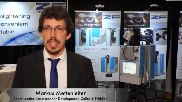
Matt Ball interviews Zoller and Fröhlich's Simon Kresser, Marketing, and Markus Mettenleiter, Team Leader, Laserscanner Development, at SPAR International in Colorado Springs, Colo. They discuss Z+F's new laserscanner features and accessories, company goals, a product tour, thermal cameras and uses, and more.
The Power of Geodesign
9.82K Views0 Comments0 Likes
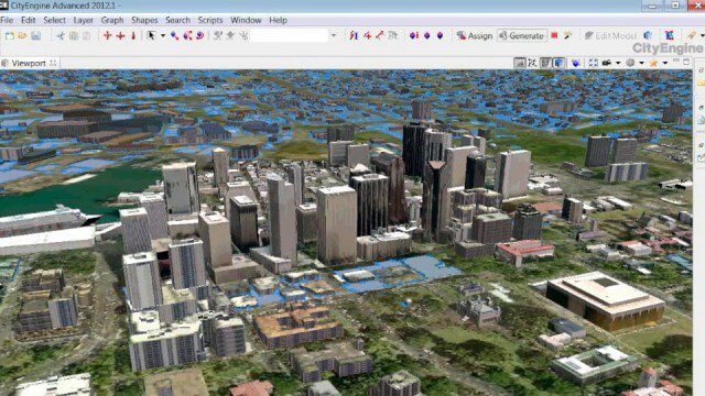
GeoSpatial Stream created this fast-paced music video that quickly summarizes the power of geodesign, based on footage and ideas found at Esri's annual Geodesign Summit.


