


Category: Conference Interviews
IMAGINiT Talks BIM and Lifecycle Management
0 Views0 Comments0 Likes
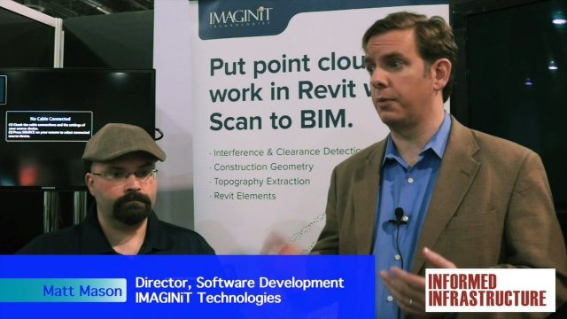
The V1 Video team was at Autodesk University 2015 in Las Vegas and interviewed Carl Storms, Senior Application Expert, and Matt Mason, Director of Software Development, both with IMAGINiT Technologies. They discussed BIM use throughout a project's lifecycle, the company's Clarity owner data portal and its benefits to users, and the latest updates for its Scan to BIM product for use with Revit.

Why Attend Bentley Systems YII 2016
0 Views0 Comments0 Likes
This video from Bentley Systems shows highlights of the 2015 event and what attendees can expect if they convene in London in 2016.
Trimble Providing a Complete Aerial Mapping Solution
0 Views0 Comments0 Likes
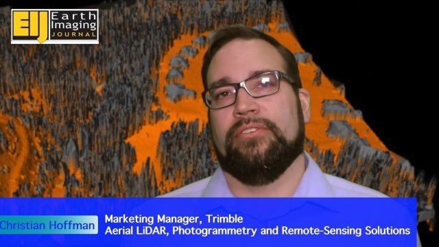
The V1 Video team spoke with Christian Hoffman, Marketing Manager for Trimble's Aerial LiDAR, Photogrammetry and Remote-Sensing Solutions, at the ILMF 2016 event held in Denver in February 2016. He spoke about Trimble's complete packages for LiDAR acquisition, including the AX60i, AX60 and AX80 hardware as well as the company's Inpho and eCognition software.
Trimble’s Mobile Mapping Systems Enabling Greater Access
0 Views0 Comments0 Likes
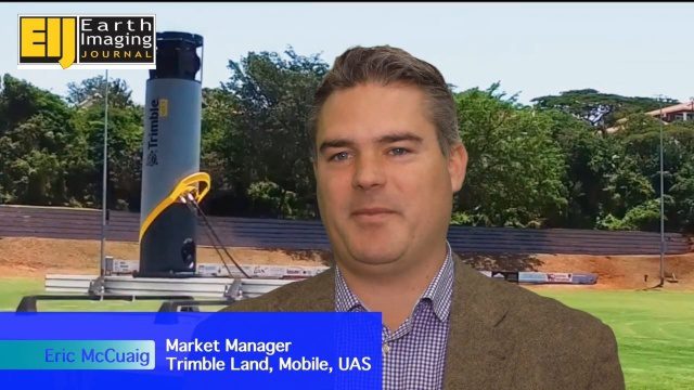
The V1 Video team spoke with Eric McCuaig, Market Manager for Trimble's Land, Mobile and UAS Systems, at the ILMF 2016 event held in Denver in February 2016. He spoke about the company's new MX7 mobile-mapping product and its applications as well as the importance of ease of use in modern systems.
Profile Soil Solutions Software (PS3) Explained
0 Views0 Comments0 Likes
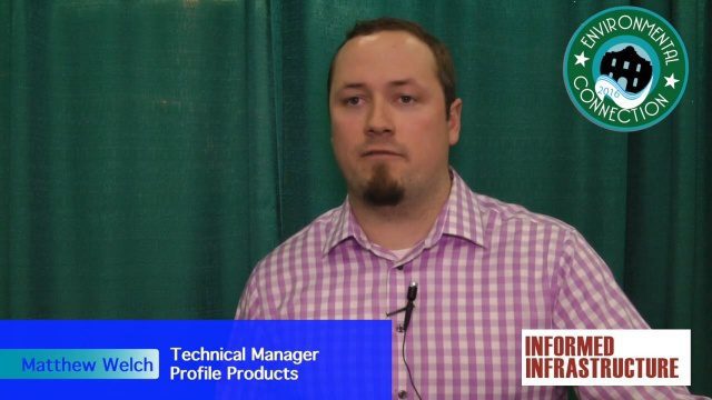
The V1 Video team spoke with Matthew Welch, Technical Manager, Profile Products, at the International Erosion Control Association (IECA) Environmental Connection 2016 event held in San Antonio in February 2016. He explained the five key components of a PS3 implementation, the importance of having quality scientific data, value engineering and more.
Harris Geospatial’s Geiger-Mode LiDAR Changing Industry
0 Views0 Comments0 Likes
The V1 Video team spoke with Mark Romano, Senior Product Manager, Harris Commercial Geospatial, at the ILMF 2016 event held in Denver in February 2016. He spoke about the major differences between traditional LiDAR and Geiger-Mode LiDAR acquisition and data, Harris acquiring Exelis, and the new types of customers and projects that Geiger-Mode LiDAR allows.

Conservation Planning in the Face of Climate Change
0 Views0 Comments0 Likes
The V1 Video team interviewed Sam Veloz, Climate Adaptation Group Director for Point Blue Conservation Science. He discussed several items related to monitoring the environment, including finding the proper scale, how the world and its sensing is changing, scenario planning, and his progress report for environmental monitoring and its successes and failures.
SKUR Helps Engineers Visualize Variance
0 Views0 Comments0 Likes
The V1 Video team interviewed Adam Cohen, Founder and CEO of SKUR, at the REAL 2016 event in San Francisco. He discussed what SKUR does and how it can help engineers visualize variance, what DIFF means and its importance, and key utilizations of SKUR technology.
Digital Surveying Improves with Mobility and Multiple Sensors
0 Views0 Comments0 Likes
The V1 Video team interviewed Stuart Woods, VP, Mobile Mapping Group, Leica Geospatial, at the REAL 2016 event in San Francisco. He discussed the future of digital surveying, increased mobility in a variety of technologies, how multiple sensors help get the job done, and the company's new Pegasus Backpack product.
NPMap Pioneers Open and Flexible Platform
0 Views0 Comments0 Likes
The V1 Video team interviewed Nate Irwin, head of the NPMap team for the National Park Service, at the USFWS/USNPS Geospatial Training Workshop. NPMap is an innovative online mapping platform that helps park visitors navigate the details of national parks as well as providing a platform for parks to customize and share maps for park management.


