
Browse Archives
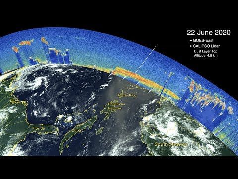
CALIPSO Observes Saharan Dust Transport
0 Views0 Comments0 Likes
The Cloud-Aerosol Lidar and Infrared Pathfinder Satellite Observations (CALIPSO) satellite—a joint venture between NASA and the French space agency, Centre National d'Etudes Spatiales (CNES)—observed the plume as it traveled across the ocean and eventually affected the mainland of the United States.
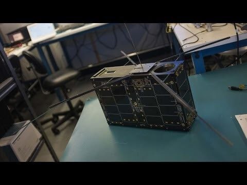
Can the Next Generation of Satellites Help Predict and Battle Wildfires?
0 Views0 Comments0 Likes
Re/code visits NASA's Silicon Valley research center, where a pair of startups are working together to democratize satellite data. Aquila Space is building a fleet of satellites while its partner Astro Digital is developing software tools that allow anyone to process and analyze the data. Among other things, the information could be used to help inform policy and responses for ecological disasters, including the droughts and wildfires plaguing California.

Capturing the Iconic Red Rocks Park and Amphitheater
0 Views1 Comments0 Likes
The V1 Video Team made a site visit to Red Rocks Amphitheater and Park to capture video interviews and witness an ambitious drone-based reality-capture exercise to photograph and model the mountain park. The visualization team from engineering firm Kimley-Horn captured the area for the City and County of Denver, which owns and maintains the park. Autodesk and its partner 3D Robotics were on hand to demo their collaboration on SiteScan, which creates an automated workflow from drone capture to use within Autodesk’s modeling software. The mission had many purposes, including historical archiving of the park, modeling stormwater erosion, tracking trail maintenance, and building acoustics and lighting models for the amphitheater.
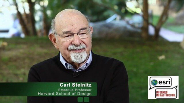
Carl Steinitz Discusses Increased Dangers and Urgency at the Geodesign Summit
0 Views0 Comments0 Likes
Carl Steinitz is an Emeritus Professor at the Harvard University Graduate School of Design and one of the true pioneers and visionaries of geodesign, with 50 years of experience. On behalf of V1 Media, Informed Infrastructure and GeoSpatial Stream, Todd Danielson interviewed Steinitz at the Geodesign Summit 2015 in Redlands, Calif.
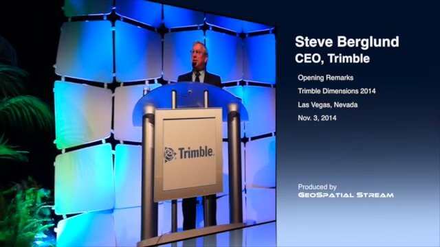
CEO Berglund Opens Trimble Dimensions 2014
0 Views0 Comments0 Likes
Trimble CEO Steve Berglund kicked off the company's biannual event, Trimble Dimensions 2014, with some opening comments about the company's growth and direction.

Charting the Intersection of Remote Sensing, GIS and Data Science
0 Views0 Comments0 Likes
The V1 Video team interviewed Stuart Blundell, director of business development and strategy for Harris Geospatial Solutions, at the company’s ENVI Analytics Symposium in Boulder, Colo. The interview touched on the company’s analytical toolset, the need and opportunity to grow the market for advanced analytics, and the extension of their toolset to the cloud.
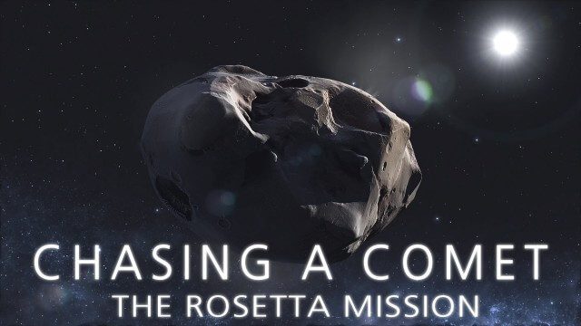
CHASING A COMET – The Rosetta Mission
0 Views0 Comments0 Likes
Among the most fascinating projects in the exploration of the Universe is the European Space Agency's Rosetta mission, launched in 2004 to investigate the comet 67P/Churyumov--Gerasimenko. For the first time, a spacec...
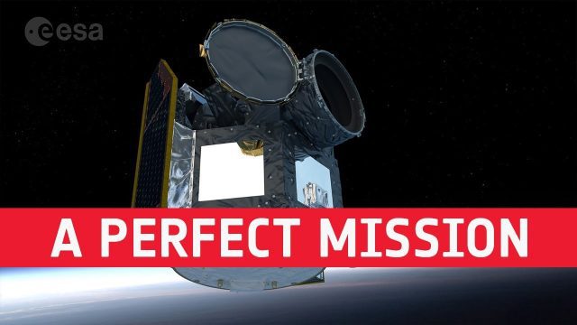
Cheops: Planning a Perfect Mission
0 Views0 Comments0 Likes
Teams of scientists and engineers are simulating the launch, early orbit phase and commissioning of the CHEOPS mission ahead of its launch period in the last quarter of 2019. The simulations are taking place at the CH...
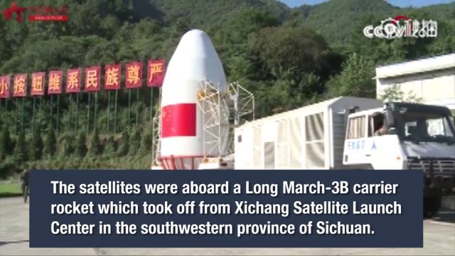
China Launches Two BeiDou-3 Navigation Satellites
0 Views0 Comments0 Likes
China launched two BeiDou-3 satellites into space via a single carrier rocket to support its global navigation and positioning network at 7:45 p.m. on Nov. 5, 2017.

Circle of Blue: Where Water Speaks
0 Views0 Comments0 Likes
In a disruptive era, when risks are becoming realities, Circle of Blue reports from the front lines.


