
Tag: video
China Launches Two BeiDou-3 Navigation Satellites
0 Views0 Comments0 Likes
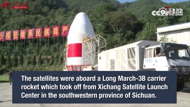
China launched two BeiDou-3 satellites into space via a single carrier rocket to support its global navigation and positioning network at 7:45 p.m. on Nov. 5, 2017.

5_12 Infrastructure Broadcast (Earthquakes, Streetcars and More)
0 Views0 Comments0 Likes
This Infrastructure-themed GeoSpatial Stream broadcast covers the devastating earthquake in Ecuador on April 16, 2016, and relief efforts from Miyamoto International to help rebuild the city's hard-hit infrastructure; a recently opened $100-million-dollar streetcar project in Kansas City; industry news from Trimble, Bentley Systems, Transoft Solutions and Autodesk; a video interview clip about Chicago's famed 150 N. Riverside Building; and more.

8_4 Infrastructure Broadcast (TIGER Grants, Transit Tech and More)
0 Views0 Comments0 Likes
This Infrastructure-themed GeoSpatial Stream broadcast discusses $500 million in grants from the USDOT's TIGER program; highlights from the latest issue of Informed Infrastructure magazine; new virtual reality technology to promote transit; industry news from Pix4D, Thinkbox Software and the Global Infrastructure Hub; a video from the Mississippi Watershed Management Organization about a stormwater filtration system recently installed near Minneapolis; and more.
CubeSat to Test Miniaturized Weather Satellite
0 Views0 Comments0 Likes
Behind every weather forecast—from your local, five-day prediction to a late-breaking hurricane track update—are the satellites that make them possible.
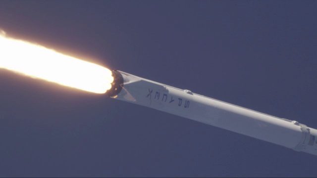
SpaceX Falcon 9 Liftoff with TESS
0 Views0 Comments0 Likes
A Falcon 9 rocket lifts off at 6:51 p.m. EDT from Space Launch Complex 40 at Cape Canaveral Air Force Station carrying NASA's Transiting Exoplanet Survey Satellite (TESS).
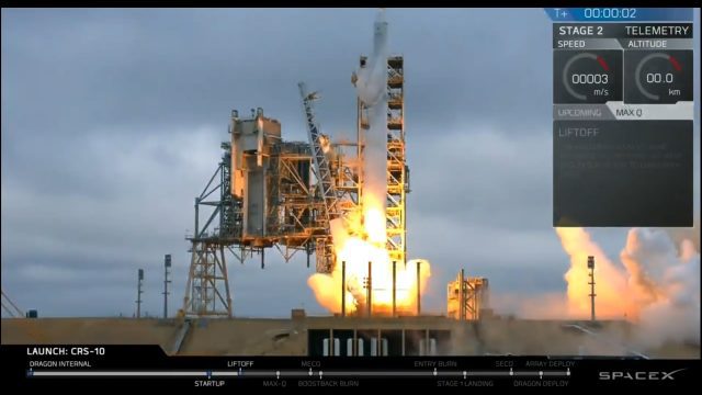
Liftoff of SpaceX CRS-10
0 Views0 Comments0 Likes
The SpaceX Falcon 9 rocket launches from Launch Complex 39A at Kennedy Space Center in Florida. The launch vehicle is carrying a Dragon spacecraft on SpaceX CRS-10, the company's tenth commercial resupply services mission to deliver cargo to the International Space Station.
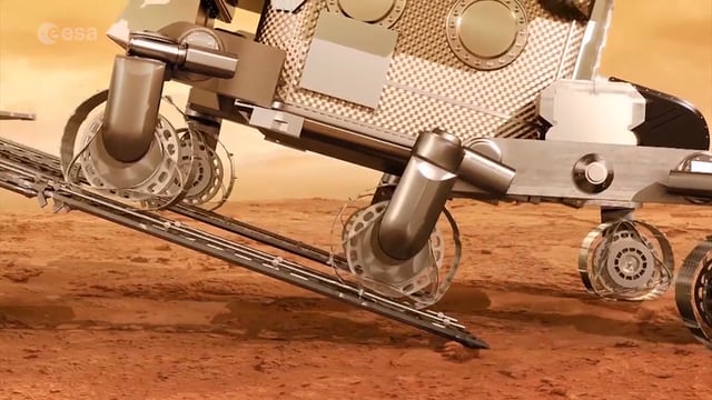
ExoMars – A Promising Future
0 Views0 Comments0 Likes
2016 has been an eventful and promising year for ESA’s ExoMars mission. After successfully placing the Trace Gas Orbiter into Mars’ orbit on Oct. 19, the orbiter has sent back its first images, tested its instruments and performed in orbit calibration measurements and health checks.
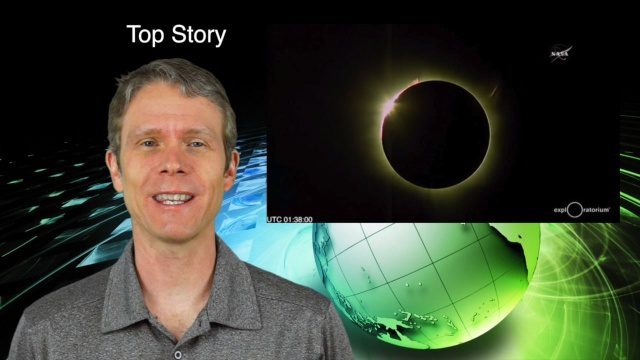
3_10 Asia Pacific Broadcast (Solar Eclipse, Groundwater Monitoring and More)
0 Views0 Comments0 Likes
This Asia-Pacific-themed GeoSpatial Stream broadcast discusses the recent solar eclipse across Indonesia and Micronesia; Japanese Universities collaborating to help build The Philippines' first microsatellite; satellite data monitoring groundwater in Pakistan; Tropical Cyclone Winston observed over Fiji; industry news from Baidu, IndoorAtlas, Yahoo! Japan, Supergeo, and German and Japanese space agencies; a video showing the excitement of a full solar eclipse; and more.
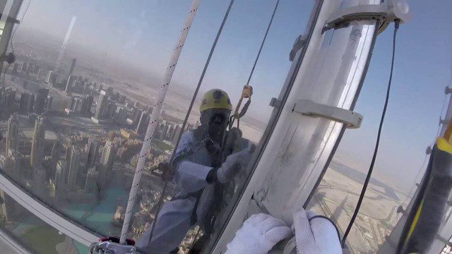
The LED Exterior Facade of Burj Khalifa Uncovered
0 Views0 Comments0 Likes
Facts uncovered by a dedicated team of specialized engineers. All you need to know about the largest LED screen in the world covering the world's tallest tower's facade.
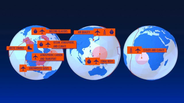
NASA Earth Expeditions: An Animated Tour
0 Views0 Comments0 Likes
NASA takes you on a world tour with this animation as we kick off major new field campaigns to study regions of critical change from land, sea and air.


