Tag: video
CubeSat to Test Miniaturized Weather Satellite
0 Views0 Comments0 Likes
Behind every weather forecast—from your local, five-day prediction to a late-breaking hurricane track update—are the satellites that make them possible.
The Birth of a New Island
0 Views0 Comments0 Likes
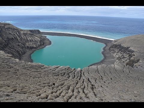
The newly formed Tongan island, unofficially known as Hunga Tonga-Hunga Ha'apai after its neighbors, was initially projected to last a few months. Now it has a 6- to 30-year lease on life, according to a new NASA study.
5_12 Infrastructure Broadcast (Earthquakes, Streetcars and More)
0 Views0 Comments0 Likes
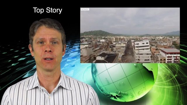
This Infrastructure-themed GeoSpatial Stream broadcast covers the devastating earthquake in Ecuador on April 16, 2016, and relief efforts from Miyamoto International to help rebuild the city's hard-hit infrastructure; a recently opened $100-million-dollar streetcar project in Kansas City; industry news from Trimble, Bentley Systems, Transoft Solutions and Autodesk; a video interview clip about Chicago's famed 150 N. Riverside Building; and more.
Software Aids Stormwater and Sewage Infrastructure Design
0 Views0 Comments0 Likes
Urbano software is used for the design of sewage and water distribution networks. Urbano Canalis is the module used for design of storm and sanitary sewage systems. You can create complete storm and sanitary sewage system designs, starting from the initial network definition to the analysis of hydraulic results.
Is Asia Now the Center of Gravity for Infrastructure?
0 Views0 Comments0 Likes
Several members of the Bentley Systems team at the 2017 Year In Infrastructure event held Oct. 10-12, 2017, in Singapore, discuss whether Asia now is the center of gravity for infrastructure.
Greg Bentley Interview Part 1: Favorite Projects and BIM Advancements
0 Views0 Comments0 Likes
Informed Infrastructure interviewed Greg Bentley, the CEO of Bentley Systems, at the Year In Infrastructure Event held Nov. 1-3, 2017, at the Hilton London Metropole. In Part 1 of this interview, he discusses some of his favorite finalists and winners from the event as well as the latest advances in BIM that create a connected data environment.
Prescribed Forest Fire Frequency Should Be Based on Land Management Goals
0 Views0 Comments0 Likes
Researchers at the University of Missouri have studied forests subjected to different frequencies of fires to determine what effects fire can have on oak forests over long periods of time.
2_25 Earth Imaging Broadcast (Sentinel Launch, Smallsats and More)
0 Views0 Comments0 Likes
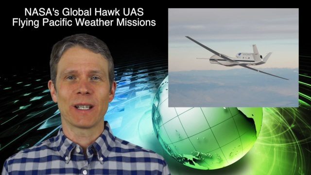
This Earth Imaging-themed GeoSpatial Stream broadcast discusses the recently launched Sentinel-3A Earth-monitoring satellite; a smallsat/cubesat video created by the European Space Agency; NASA UAS/drone news; industry news from Esri, SimActive, Teledyne Optech and Riegl; a funny mapping video from the University of Kentucky's New Maps Plus online education program; and more.
Where Is the Edge of the Solar System?
0 Views0 Comments0 Likes
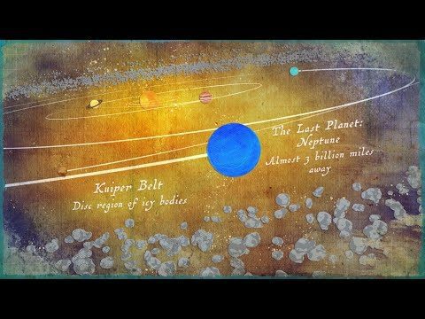
Where does the solar system end? It all depends on the criteria you are using.

