
Tag: video
The Challenges and Benefits of Interoperability
0 Views0 Comments0 Likes
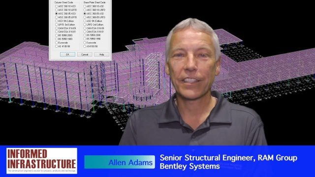
The V1 Video team interviewed Allen Adams, Senior Structural Engineer, RAM Group, Bentley Systems, at the 2016 NASCC: The Steel Conference, held April 13-15 in Orlando, Fla. He discusses the major challenges of interoperability in the infrastructure industry, Bentley Systems' approach to these difficulties, what it looks like when data isn't open to others within an organization, and how Bentley software saves its clients time and money.
Greg Bentley Talks Reality Modeling and the Future of 3D Tech
0 Views0 Comments0 Likes
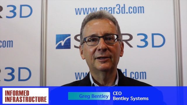
The V1 Video team interviewed Greg Bentley, CEO of Bentley Systems, at the 2016 SPAR 3D Expo and Conference, held April 11-14 in The Woodlands, Texas. In Part I, he provides his insight into reality modeling, the differences between a reality mesh and a point cloud, new tools for improved engineering and the future of 3D technology.
2017 Drone Data Race
0 Views0 Comments0 Likes
On April 22, 2017, the Aerial and Aquatic Robot Research group (AARR) of the California State University Channel Islands hosted the first Drone Data Race in Camarillo, CA.
Greg Bentley Discusses Reality Modeling Worldwide
0 Views0 Comments0 Likes
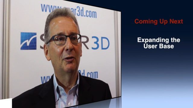
The V1 Video team interviewed Greg Bentley, CEO of Bentley Systems, at the 2016 SPAR 3D Expo and Conference, held April 11-14 in The Woodlands, Texas. In Part II, he discusses how reality modeling is being applied in several locations across the world, the impacts such modeling is having in expanding the user base beyond engineering and how reality modeling can provide substantial return on investment.
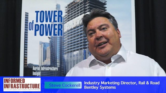
Bentley Systems’ Impact on Road and Rail Industries
0 Views0 Comments0 Likes
The V1 Video team interviewed Steve Cockerell, Industry Marketing Director of Rail & Road for Bentley Systems, at the 2016 SPAR 3D Expo and Conference, held April 11-14 in The Woodlands, Texas. He discusses the company's ContextCapture, LumenRT and ConceptStatin products as well as the high-profile Crossrail project and how it has changed the company's products and practices.

Elkhorn Slough Reserve Estuary Explorers
0 Views0 Comments0 Likes
Estuary Explorers allows a group of local students to visit the Elkhorn Slough Reserve once a week for four years. It is through this deep experience that new stewards of the Reserve emerge and grow.
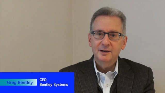
Greg Bentley Interview Part 2: Lifecycle Management, Productizing Services and Tech Uptake in Construction
0 Views0 Comments0 Likes
Informed Infrastructure interviewed Greg Bentley, the CEO of Bentley Systems, at the Year In Infrastructure Event held Nov. 1-3, 2017, at the Hilton London Metropole. In Part 2 of this interview, he discusses the importance of lifecycle management and the "productizing" of services as well as his thoughts on the slow uptake of technology in construction and how it can be overcome.

Get Ready for the 2017 Solar Eclipse
0 Views0 Comments0 Likes
On Monday, August 21, 2017, our nation will be treated to a total eclipse of the sun.
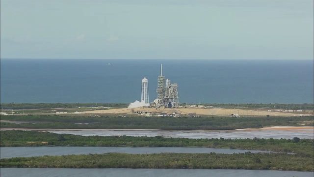
SpaceX CRS-11 Liftoff for International Space Station
0 Views0 Comments0 Likes
The SpaceX CRS-11 Falcon 9 rocket lifts off from Launch Complex 39A at NASA's Kennedy Space Center sending a Dragon spacecraft on the company's 11th commercial resupply services mission to the International Space Station. Liftoff was at 5:07 p.m. EDT on June 3, 2017.
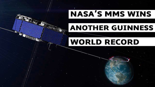
NASA’s MMS Satellite Breaks World GPS Record
0 Views0 Comments0 Likes
NASA's MMS mission now holds the Guinness World Record for highest altitude GPS fix: 43,500 miles above Earth’s surface.


