
Tag: video
David Huie and David Burdick: Reality Capture and Modeling, LumenRT, and Visualization for Communication
3.95K Views0 Comments0 Likes
Informed Infrastructure interviewed Bentley Systems' David Huie, Product Marketing, Reality Modeling, and David Burdick, Market Development, Visualization, at the Year In Infrastructure Event held Nov. 1-3, 2017, at the Hilton London Metropole. They take turns discussing Bentley's latest advances in reality capture and modeling, including its LumenRT product, as well as how to best use visualization for communication with the expanding amount of "non-technical" stakeholders.

6_30 Drones and GIS Broadcast (FAA Rule, Esri UC and More)
2.55K Views0 Comments0 Likes
This GeoSpatial Stream broadcast discusses the landmark FAA Rule Part 107 for small UASs/UAVs/drones and its effect on the U.S. economy; highlights from the 37th Esri User Conference in San Diego; industry news from SmarterBetterCities, Trimble, Cadcorp and Esri; an Esri video that opened the recent UC; and more.

Proposed Bus Terminal in NYC
1.39K Views0 Comments0 Likes
Pelli Clarke Pelli Architects proposed a relatively compact terminal to be built exclusively on Port Authority-owned land just west of the current facility between West 38th and West 40th streets that would cost $3.7 billion to construct.
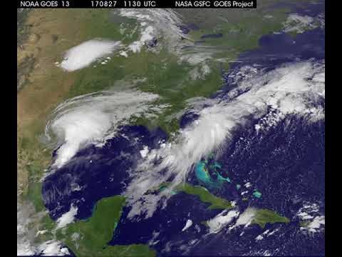
Satellite Animation Shows Harvey Moving into Gulf
5.15K Views0 Comments0 Likes
This animation of NOAA's GOES East satellite imagery from 9:15 a.m. CDT, Aug. 26, 2017, to 9:30 a.m. CDT, Aug. 28, 2017, shows Hurricane Harvey transitioning to a tropical storm at 1 p.m. CDT on Aug. 26, 2017, and slowly emerging in the Gulf of Mexico on Aug. 28.

CubeSat to Test Miniaturized Weather Satellite
2.99K Views0 Comments0 Likes
Behind every weather forecast—from your local, five-day prediction to a late-breaking hurricane track update—are the satellites that make them possible.
2017 Drone Data Race
4.26K Views0 Comments0 Likes
On April 22, 2017, the Aerial and Aquatic Robot Research group (AARR) of the California State University Channel Islands hosted the first Drone Data Race in Camarillo, CA.

8_4 Infrastructure Broadcast (TIGER Grants, Transit Tech and More)
2.29K Views0 Comments0 Likes
This Infrastructure-themed GeoSpatial Stream broadcast discusses $500 million in grants from the USDOT's TIGER program; highlights from the latest issue of Informed Infrastructure magazine; new virtual reality technology to promote transit; industry news from Pix4D, Thinkbox Software and the Global Infrastructure Hub; a video from the Mississippi Watershed Management Organization about a stormwater filtration system recently installed near Minneapolis; and more.
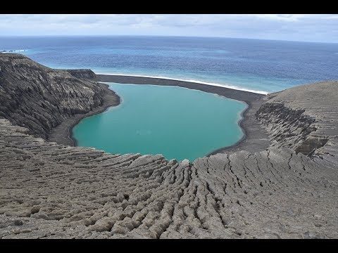
The Birth of a New Island
3.59K Views0 Comments0 Likes
The newly formed Tongan island, unofficially known as Hunga Tonga-Hunga Ha'apai after its neighbors, was initially projected to last a few months. Now it has a 6- to 30-year lease on life, according to a new NASA study.

Conservation Planning in the Face of Climate Change
3.18K Views0 Comments0 Likes
The V1 Video team interviewed Sam Veloz, Climate Adaptation Group Director for Point Blue Conservation Science. He discussed several items related to monitoring the environment, including finding the proper scale, how the world and its sensing is changing, scenario planning, and his progress report for environmental monitoring and its successes and failures.
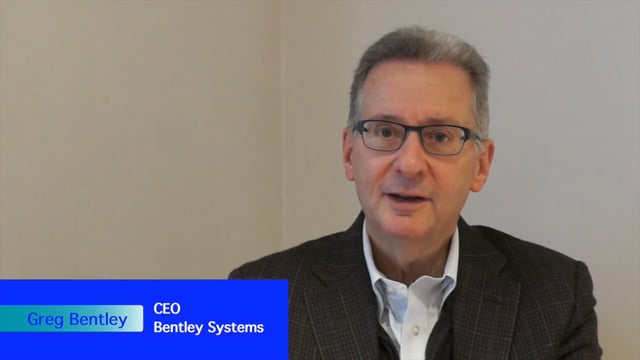
Greg Bentley Interview Part 2: Lifecycle Management, Productizing Services and Tech Uptake in Construction
6.87K Views0 Comments0 Likes
Informed Infrastructure interviewed Greg Bentley, the CEO of Bentley Systems, at the Year In Infrastructure Event held Nov. 1-3, 2017, at the Hilton London Metropole. In Part 2 of this interview, he discusses the importance of lifecycle management and the "productizing" of services as well as his thoughts on the slow uptake of technology in construction and how it can be overcome.


