


Category: Vendor Videos
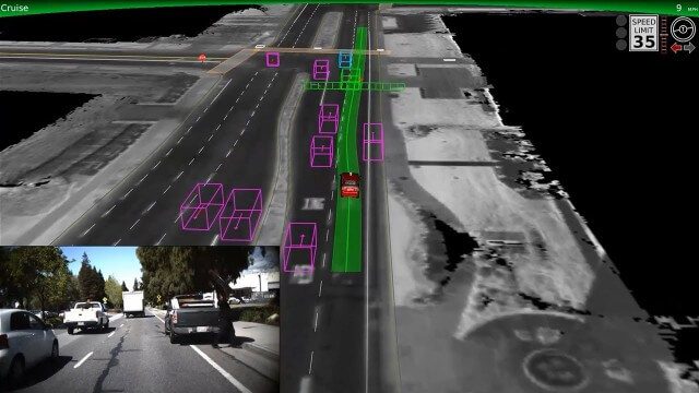
Google Self-Driving Car on City Streets
2.48K Views0 Comments0 Likes
The Google self-driving car navigates some common scenarios on city streets near the Googleplex.
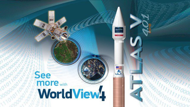
Atlas V WorldView Launch Broadcast Replay
2.46K Views0 Comments0 Likes
Watch a replay as the ULA's Atlas V launches the WorldView-4 launch for DigitalGlobe.
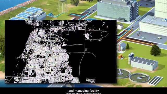
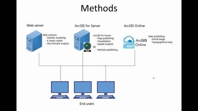
AECO Software to Manage the Urban Water Infrastructure Lifecycle
2.38K Views0 Comments0 Likes
Utilities and their consultants around the world rely on Bentley’s water solution to deliver intelligent infrastructure, ultimately providing clean water and managing sewerage and storm runoff. What architectural, engineering, construction, and operations (AECO) professionals can learn: • Maintain a centralized asset repository and manage facility information with Bentley’s integrated water and geospatial products • Model, analyze, and design water and wastewater pipe networks, using Bentley’s easy-to-use hydraulics and hydrology software • Design and build water and wastewater treatment plants in a fully-managed, collaborative team environment, using Bentley’s plant, structural, and building applications.
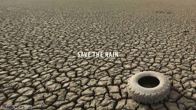
Save the Rain
2.32K Views0 Comments0 Likes
Users are able to make smarter choices and save water when it is available. The next time it rains, users can capture rainwater that lands on their homes and use it again to water plants, trees, and lawns; wash cars; and even flush toilets.

Google’s Project Tango – Journey
2.31K Views0 Comments0 Likes
Over the past 18 months, Project Tango has been collaborating with robotics laboratories from around the world to concentrate the past decade of research and computer vision into a new class of mobile device.
Community Resilience Inference Measurement
2.27K Views0 Comments0 Likes
Measuring resilience to climate-related hazards at the county level for the United States, the app allows users to directly calculate the resilience index of places they choose and view the weights of the socioeconomic factors contributing to those scores. The app also provides factors that increase or decrease resilience.

RideAmigos UNITY
2.26K Views0 Comments0 Likes
Uniting entities that create the data needed to provide rich visualizations and insights into commuter habits globally, Unity enables unlimited public and private networks within a region to create behavioral changes and eliminate traffic by allowing users to sync data to Esri ArcGIS software for modal analysis. Users can also explore how each mode contributes to greenhouse gas emissions and climate change.
Project Tango: NASA SPHERES
2.17K Views0 Comments0 Likes
Since the summer of 2013, the Project Tango team has been working closely with a team at the NASA Ames Research Center. The goal: to integrate a Project Tango prototype onto a robotic platform, called SPHERES, that flies inside the International Space Station.
senseFly Mini Drones
2.12K Views0 Comments0 Likes
Imagine being able to see the world from a totally new point of view.
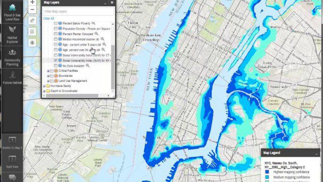
Coastal Resilience 2.0
2.12K Views0 Comments0 Likes
Providing tools to reduce ecological and socioeconomic risks of coastal hazards, the app enables users to assess such risks, including those to current and future storms, as well as sea level rise scenarios; identify solutions to reduce risks across socio-ecological systems; take action to help communities develop nature-based solutions; and measure effectiveness to ensure efforts are successful.


