


Category: Vendor Videos
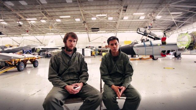
Project Tango: NASA SPHERES
0 Views0 Comments0 Likes
Since the summer of 2013, the Project Tango team has been working closely with a team at the NASA Ames Research Center. The goal: to integrate a Project Tango prototype onto a robotic platform, called SPHERES, that flies inside the International Space Station.

Exploring InfraWorks Vegas Style! Event (Short Version)
0 Views0 Comments0 Likes
This video is a short trailer of the full video recapping the Exploring InfraWorks (Vegas Style!) event that took place during Autodesk University 2013. A bus trip explored the use of Autodesk technology to model the infrastructure of the city of Las Vegas. VTN Consulting is the main contractor on the project.
Google’s Project Tango – Journey
0 Views0 Comments0 Likes
Over the past 18 months, Project Tango has been collaborating with robotics laboratories from around the world to concentrate the past decade of research and computer vision into a new class of mobile device.
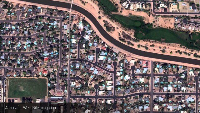
Satellite Imagery to Catch Environmental Changes
0 Views0 Comments0 Likes
How governments are using high-resolution satellite imagery to catch environmental issues before they become health hazards - and EPA fines.

Minnesota Solar Suitability Analysis
0 Views0 Comments0 Likes
This app enables users to identify the suitability of a location for solar panel installations by locating their home or current location and querying solar analysis data.
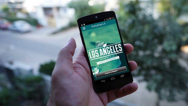
EveryDropLA
0 Views0 Comments0 Likes
Encouraging water conservation, the app allows users to identify and directly report water waste, view instances of water waste around them, receive alerts to conserve when essential, educate themselves on water conservation, and engage the water community through social media.
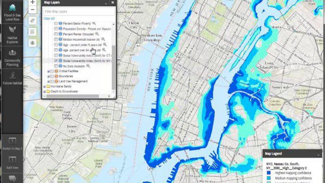
Coastal Resilience 2.0
0 Views0 Comments0 Likes
Providing tools to reduce ecological and socioeconomic risks of coastal hazards, the app enables users to assess such risks, including those to current and future storms, as well as sea level rise scenarios; identify solutions to reduce risks across socio-ecological systems; take action to help communities develop nature-based solutions; and measure effectiveness to ensure efforts are successful.
Flood Forecast
0 Views0 Comments0 Likes
When users register their address, they receive push alerts notifying them when that address is in danger of flooding. This app analyzes National Oceanic and Atmospheric Administration (NOAA) flood advisories, identifies specific properties affected by floods, consumes forecast information to provide accurate weather reports based on the user's location, and sends flood alerts via Twilio and the location of the nearest Disaster Assistance Center.
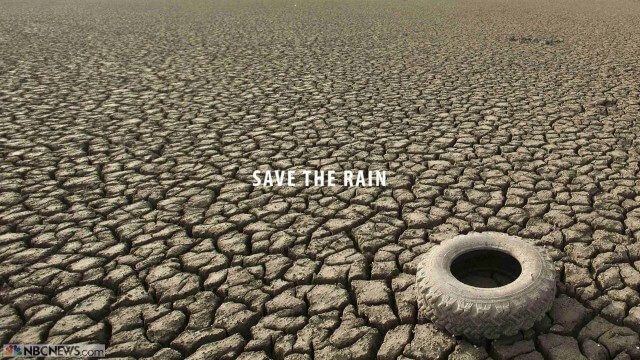
Save the Rain
0 Views0 Comments0 Likes
Users are able to make smarter choices and save water when it is available. The next time it rains, users can capture rainwater that lands on their homes and use it again to water plants, trees, and lawns; wash cars; and even flush toilets.
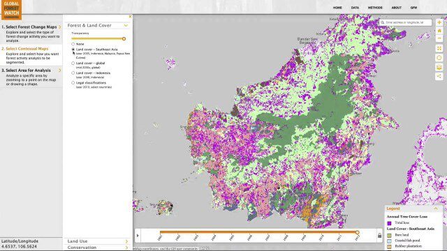
Global Forest Watch Commodities—Geospatial Tools to Help Reduce Greenhouse Gas Emissions from Land-Use Change
0 Views0 Comments0 Likes
This app provides three tools for businesses interested in good forest management: Suitability Mapper, which enables businesses to identify degraded areas best suited for commodity development as an alternative to clearing new forest areas; Forest Analyzer, which provides information on land cover and land use to monitor and evaluate change to forests on commodity concessions; and Roundtable on Sustainable Palm Oil (RSPO) Support tool, which users can complete for an analysis of forest change on certified areas and use the analysis for the compensation procedure required by RSPO while also enabling commodity buyers to make informed sourcing decisions.


