


Category: Found on the Internet
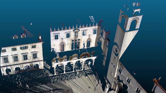
Teledyne Lidar Enables 3D Data Acquisition, Visual Effects for HBO’s Game of Thrones
813 Views0 Comments0 Likes
Vektra generated 3D point clouds in Dubrovnik using various lidar technologies including Teledyne Optech’s Maverick mobile lidar system and Polaris fixed terrestrial scanner. The lidar point clouds were then colorized with digital camera imagery and image fusion software.
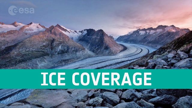
Ice Coverage: The Global Thaw
811 Views0 Comments0 Likes
One of the casualties of climate change is the diminishing ice cover, affecting our planet in a number of ways. ESA’s satellites observe the planet’s cryosphere and provide key information to understand and respond to global thawing.
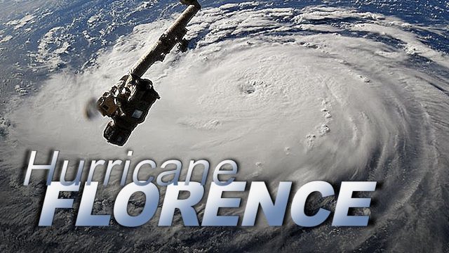
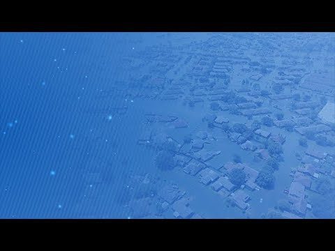
Dramatic Views of Hurricane Florence
808 Views0 Comments0 Likes
Cameras outside the International Space Station captured dramatic views of rapidly strengthening Hurricane Florence at 8:10 a.m. EDT Sept. 10 as it moved in a westerly direction across the Atlantic, headed for a likely landfall along the eastern seaboard of the U.S. late Thursday or early Friday.
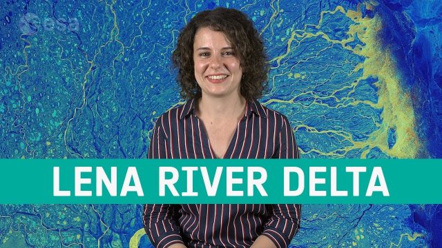
Earth from Space: Lena River Delta
807 Views0 Comments0 Likes
Copernicus Sentinel-1 takes us over Lena River Delta, in Russia, in this week's edition of the Earth from Space program.
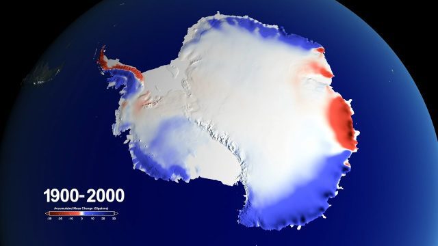
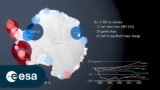
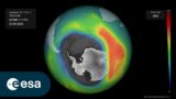
Snow over Antarctica Buffered Sea-Level Rise during Last Century
802 Views0 Comments0 Likes
A new NASA-led study has determined that an increase in snowfall accumulation over Antarctica during the 20th century mitigated sea level rise by 0.4 inches. However, Antarctica’s additional ice mass gained from snowfall only makes up for about a third of its current ice loss.
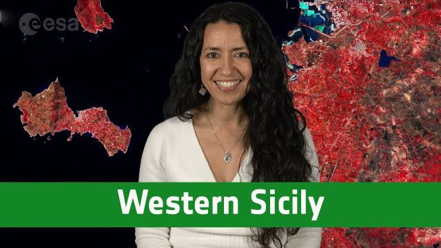
Earth from Space: Western Sicily
802 Views0 Comments0 Likes
In this week's edition of the Earth from Space program, the Copernicus Sentinel-2A satellite takes us over western Sicily and the islands of Favignana and Levanzo in Italy.
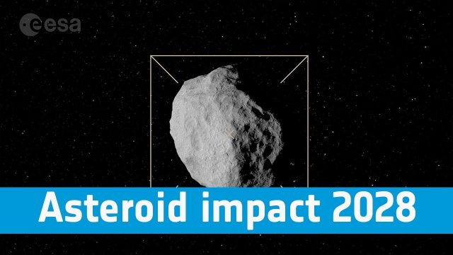
Asteroid Impact 2028: Protecting Our Planet
800 Views0 Comments0 Likes
Find out more about how we are preparing to protect our pale blue dot, its inhabitants and the vital satellite systems on which we have become so dependent.

Corridor Mapping in Germany
798 Views0 Comments0 Likes
Above Highway A33, the mdMapper1000DG was tasked with creating a point cloud and orthophoto of a 12 kilometer stretch of the Autobahn.
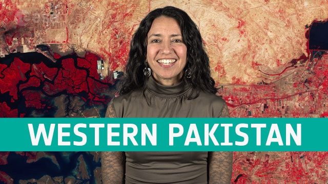
Earth from Space: Western Pakistan
798 Views0 Comments0 Likes
In this week's edition of the Earth from Space program, Copernicus Sentinel-2 takes us over western Pakistan and an important wetland area.
Five Years of GPM Storms
796 Views0 Comments0 Likes
On Feb. 27, 2019, we celebrated five years in orbit for the NASA/JAXA Global Precipitation Measurement mission (GPM).


