


Category: Daily Digests
4_28 Earth Imaging Broadcast (Sentinel, Drones and More)
0 Views0 Comments0 Likes
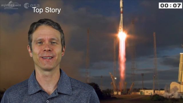
This Earth Imaging-themed GeoSpatial Stream broadcast discusses the recent successful launch of the European Space Agency's Sentinel 1-B satellite; UAS (or drone) news about a 3D-printed vehicle helping ships navigate Antarctic seas as well as the economic impact of the Micro Aerial Vehicle market; a NASA study on the greening of Earth caused by increased carbon dioxide; industry news from 5D Robotics, LizardTech, the U.S. Geospatial Intelligence Foundation and Teledyne Optech; a video about the Sentinel satellites capabilities; and more.
6_11 Innovation Broadcast (Hexagon Conference, Iceberg Tracking and More)
0 Views0 Comments0 Likes
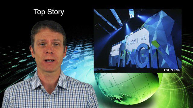
This GeoSpatial Stream broadcast discusses the latest innovation seen at the HxGN Live conference hosted by industry powerhouse Hexagon; a Canadian team tracking icebergs to understand how they drift; industry news from GeoDecisions, Esri, exactEarth, Harris Corp, FlightlineGeo and LizardTech; concluding thoughts and opinions from the Hexagon conference; singing with Elvis; and more.

4_10 GEOINT Broadcast (Special Ops Data, New Weather Satellite, GPS III and More)
0 Views0 Comments0 Likes
This GeoSpatial Stream broadcast discusses geospatial intelligence, its legacy and the upcoming GEOINT Symposium; a recently launched U.S. military weather satellite; GPS III developments; industry news from Headwall, Thermopylae Sciences and Technology, Trimble, Esri, DigitalGlobe, and Riegl; and more.

7_10 Remote-Sensing Broadcast (NASA, UN and More)
0 Views0 Comments0 Likes
This remote-sensing themed GeoSpatial Stream broadcast discusses NASA's recently launched Orbiting Carbon Observatory-2 satellite as well as its upcoming ISS-RapidScat instrument; The Satellite Project created at New York University; UN Peacekeeping missions using unarmed UAVs; industry news from Fugro, exactEarth, SimActive and EOMAP; the upcoming Esri User Conference; the Climate Resilience App Challenge; and more.
9_4 Earth Imaging Broadcast (Galileo Malfunction, Drones and More)
0 Views0 Comments0 Likes
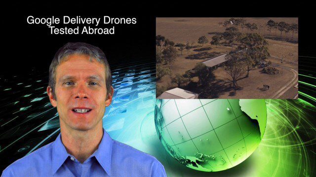
This Earth imaging GeoSpatial Stream broadcast discusses the ESA's potentially lost Galileo navigation satellites; several instances of drones (or UAVs) making news worldwide, including from Google and Amazon; industry news from DigitalGlobe, BlackBridge and MDA, SimActive, and KEYW Corp.; URISA's GIS-Pro conference in New Orleans; subscription information; and more.

8_4 Infrastructure Broadcast (TIGER Grants, Transit Tech and More)
0 Views0 Comments0 Likes
This Infrastructure-themed GeoSpatial Stream broadcast discusses $500 million in grants from the USDOT's TIGER program; highlights from the latest issue of Informed Infrastructure magazine; new virtual reality technology to promote transit; industry news from Pix4D, Thinkbox Software and the Global Infrastructure Hub; a video from the Mississippi Watershed Management Organization about a stormwater filtration system recently installed near Minneapolis; and more.
10_16 Asia-Pacific Broadcast (Tsunami Preparedness, NASA/India Partnerships and More)
0 Views0 Comments0 Likes
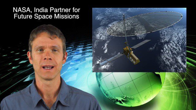
This Asia-Pacific-focused GeoSpatial Stream broadcast discusses several reports indicating that tsunami preparedness is improving in the region; a space-mission partnership between NASA and India's ISRO; the first images from China's Gaofen-2; a video from the University of South Australia's Global Sensor Network; industry news from MDA Information Systems, Esri, Xiaomi, Careland, Innovyze and Nobel Systems; and more.
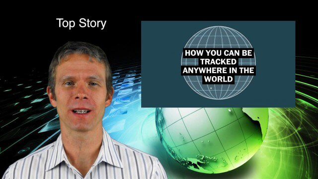
9_10 Location Surveillance Broadcast (Phone Tracking, Global Road Map and More)
0 Views0 Comments0 Likes
This GeoSpatial Stream broadcast discusses location surveillance and how portals are providing cellphone locations as a paid service; the Global Road Map and its quest to limit environmental impact; Canada's investment in a global survey of surface water; NATO's Joint Intelligence, Surveillance and Reconnaissance capability; industry news from Esri, Ocean Optics and PCI Geomatics; opinions on location surveillance; and more.

6_9 Earth Imaging Broadcast (Satellite Success, Asteroid Mining and More)
0 Views0 Comments0 Likes
This Earth Imaging-themed GeoSpatial Stream broadcast discusses the recent streak of success at the European Space Agency, including its Sentinel and Galileo launches as well as a demonstration of the SpaceDataHighway; a NASA video about its North Atlantic Aerosols and Marine Ecosystems Study (NAAMES) mission; industry news from Merrick-Surdex Joint Venture, TerraGo, Earth-i, Teledyne Optech and Siteco Informatica; thoughts on asteroid mining and related benefits to Earth sensing; and more.

6_30 Drones and GIS Broadcast (FAA Rule, Esri UC and More)
0 Views0 Comments0 Likes
This GeoSpatial Stream broadcast discusses the landmark FAA Rule Part 107 for small UASs/UAVs/drones and its effect on the U.S. economy; highlights from the 37th Esri User Conference in San Diego; industry news from SmarterBetterCities, Trimble, Cadcorp and Esri; an Esri video that opened the recent UC; and more.


