


Category: Daily Digests

5_26 Asia Pacific Broadcast (DIWATA-1, Apple Maps and More)
0 Views0 Comments0 Likes
This Asia Pacific-themed GeoSpatial Stream broadcast covers the recent launch of DIWATA-1, The Philippines' first microsatellite; Australia's move toward more-accurate GNSS navigation at its airports; Apple opening a technical and support center in Hyderabad, India, for its Maps and navigation services; industry news from NTT Data, LizardTech, BJ Open Tide BoGan, Ozius Spatial and U-blox; a video clip from JAXA (in Japanese) about weather monitoring; and more.
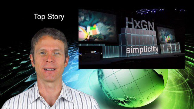
6_12 HxGN LIVE Broadcast (Conference Recap, NASA News and More)
0 Views0 Comments0 Likes
This GeoSpatial Stream broadcast includes a recap of the recent HxGN LIVE conference in Las Vegas, and discusses NASA's upcoming carbon dioxide satellite; a deadly and massive Colorado mudslide; industry news from Skybox Imaging and Google, Sokkia, and Esri; Google's Tango Project; and more.
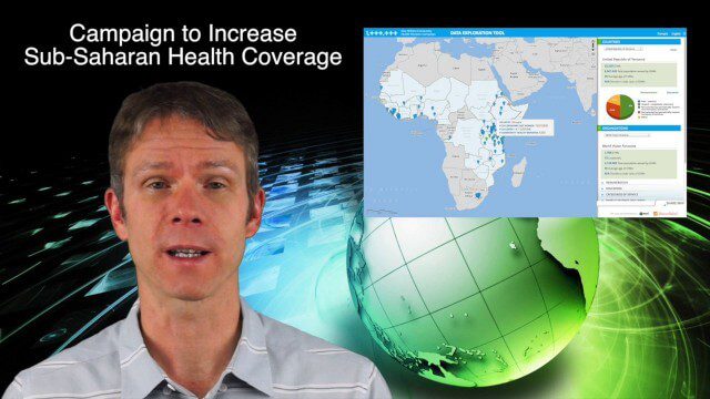
10_23 Europe/Africa Broadcast (INTERGEO, African Health Coverage and More)
0 Views0 Comments0 Likes
This GeoSpatial Stream broadcast discusses geospatial news and videos related to Europe and Africa, including the recent INTERGEO conference in Berlin; the One Million Community Health Workers Campaign in Sub-Saharan Africa; a European Commission commitment to invest in the data sector; industry news from Gfk, Euroconsult, Airbus Defence and Space and Spectrum Geo, and Headwall Photonics; images from the International Space Station; and more.

7_10 Remote-Sensing Broadcast (NASA, UN and More)
0 Views0 Comments0 Likes
This remote-sensing themed GeoSpatial Stream broadcast discusses NASA's recently launched Orbiting Carbon Observatory-2 satellite as well as its upcoming ISS-RapidScat instrument; The Satellite Project created at New York University; UN Peacekeeping missions using unarmed UAVs; industry news from Fugro, exactEarth, SimActive and EOMAP; the upcoming Esri User Conference; the Climate Resilience App Challenge; and more.

2_12 Roger Tomlinson Broadcast (GeoDesign Summit, Tomlinson Tribute, Landsat 8 and More)
0 Views1 Comments0 Likes
This GeoSpatial Stream broadcast discusses Esri's GeoDesign Summit; the recent passing of Roger Tomlinson, "The Father of GIS"; Landsat 8's birthday; climate change and national security; woodland conservation; geospatial gaming technology; and more.

4_23 Infrastructure Broadcast (Transportation, AASHTO and More)
0 Views0 Comments0 Likes
This Infrastructure-themed GeoSpatial Stream broadcast highlights an Earth Day video from the American Association of State Highway and Transportation Officials (AASHTO); news on infrastructure from the United States, Canada and Saudi Arabia; industry news from Topcon Positioning Group, Esri and Autodesk; a clip from an infrastructure-related interview at SPAR International; and more.
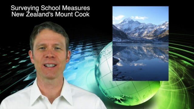
3_19 Asia Pacific Broadcast (Malaysia Airlines Search, India Water Tool and More)
0 Views0 Comments0 Likes
This Asia-Pacific-themed GeoSpatial Stream broadcast discusses Geoscience Australia's seafloor mapping efforts in the continued search for Malaysia Airlines Flight 370; India mapping schools and water; surveyors measuring the height of New Zealand's tallest peak, Mount Cook; industry news from Esri India, Locate15, ISRO and Google; powerful maps created by children in India of the slums they live in and how they'd like to see them rebuilt; and more.

5_22 Remote-Sensing Broadcast (Space Symposium, WorldView-3 and More)
0 Views0 Comments0 Likes
This GeoSpatial Stream broadcast covers a variety of remote-sensing topics, such as the recent Space Symposium in Colorado; a preview of DigitalGlobe's WorldView-3 satellite; a special report on micro-satellites; industry news from Airbus Defence and Space, BAE Systems, Teledyne, and NASA; and more.

6_25 Hurricane Broadcast (Infrastructure Spending, Iraq and More)
0 Views0 Comments0 Likes
This GeoSpatial Stream broadcast discusses the 2014 hurricane season; infrastructure spending predicted to increase to $9 trillion by 2025; a Landsat image of Iraq; the Dutch Water System; industry news from Eagle Mapping, Riegl, E-Capture R&D, Esri, Blue Marble Geographics and URISA; and more.
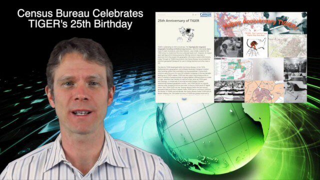
12_4 TIGER Broadcast (Database Milestones, People to Pixels and More)
0 Views0 Comments0 Likes
This GeoSpatial Stream broadcast discusses "People to Pixels" remote-sensing techniques that won a major award; the 25th anniversary of the U.S. Census Bureau's TIGER database; industry news from Esri, SmarterBetterCities, TomTom, Fleetlogic and ThinkGeo; clips from an interview with Greg Bentley, CEO of Bentley Systems; information about an upcoming Webcast on Structural Steel Fabrication; and more.


