Category: Daily Digests
7_30 Asia-Pacific Broadcast (Deforestation, Beijing Smog and More)
0 Views0 Comments0 Likes
This Asia-Pacific-focused GeoSpatial Stream broadcast discusses deforestation in Indonesia; IBM joining Beijing's fight against smog; Asian effects on mobile-device charging; Pakistan's move toward space technology; satellite imagery use in Australian vineyards; industry news from Spatial Dimensions, ScanEx, Maptek and Esri; geospatial insight into Indonesian politics; and more.
3_24 Climate Change Broadcast (Forest Recovery, Drought and More)
0 Views0 Comments0 Likes
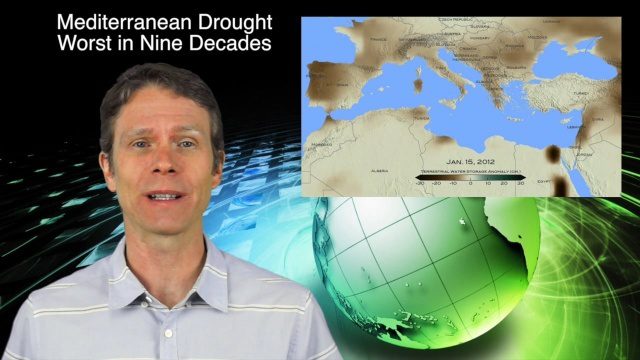
This GeoSpatial Stream broadcast discusses several aspects of climate change, including how forests help regulate the environment and two studies that indicate recent regrowth; a USGS-led working group on ecological drought; surprisingly high levels of a banned ozone-depleting chemical; the largest Mediterranean drought in 900 years; industry news from TerraGo, Mapillary and Esri; a NASA video of one of its forest-monitoring projects; and more.
1_28 Climate Change Broadcast (Polar Vortex, China’s Pollution Plumes, Broadband Mapping and More)
0 Views0 Comments0 Likes
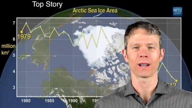
This GeoSpatial Stream broadcast examines the latest effects of Climate Change on the Polar Vortex; China's pollution plumes monitored from space; Kids Making Sense; broadband mapping; the latest announcements from Boundless, Cityworks, Fugro Pelagos and Blue Marble Geographics; and more.
9_10 Location Surveillance Broadcast (Phone Tracking, Global Road Map and More)
0 Views0 Comments0 Likes
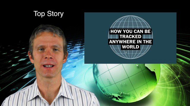
This GeoSpatial Stream broadcast discusses location surveillance and how portals are providing cellphone locations as a paid service; the Global Road Map and its quest to limit environmental impact; Canada's investment in a global survey of surface water; NATO's Joint Intelligence, Surveillance and Reconnaissance capability; industry news from Esri, Ocean Optics and PCI Geomatics; opinions on location surveillance; and more.
10_15 Earth Imaging Broadcast (Hurricanes, Wildfire Mapping and More)
0 Views0 Comments0 Likes
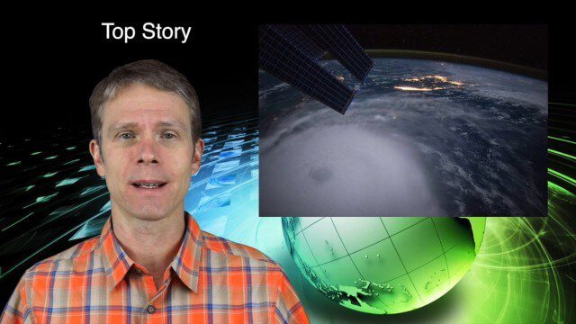
This Earth Imaging-themed GeoSpatial Stream broadcast discusses satellite imagery used to track and understand hurricanes, including the Atlantic's Joaquin and the Pacific's triplet hurricanes of Kilo, Ignacio and Jimena; remote sensing used to map and characterize capuchin monkey habitat; a Re/Code video news story about smallsats helping with wildfires; industry news from MDA, Blue Water Satellite, NASA and Esri; clips from a V1 Media video interview of Patrick Meier, founder of the Humanitarian UAV Network; and more.
10_23 Europe/Africa Broadcast (INTERGEO, African Health Coverage and More)
0 Views0 Comments0 Likes
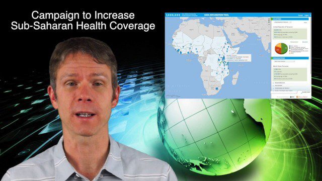
This GeoSpatial Stream broadcast discusses geospatial news and videos related to Europe and Africa, including the recent INTERGEO conference in Berlin; the One Million Community Health Workers Campaign in Sub-Saharan Africa; a European Commission commitment to invest in the data sector; industry news from Gfk, Euroconsult, Airbus Defence and Space and Spectrum Geo, and Headwall Photonics; images from the International Space Station; and more.
8_21 Climate Change Broadcast (New NASA Instruments, Ice Sheets and More)
0 Views0 Comments0 Likes
This GeoSpatial Stream broadcast discusses the latest news on climate change, including new NASA monitoring instruments for the International Space Station and ESA's CryoSat mission to measure ice-sheet loss; a U.S. Army Corps of Engineers call for infrastructure improvements in the Mississippi River Watershed; Maps.com and its new Field Trip Library educational series; industry news from American Sentinel University, Nokia HERE and Apple; a LiDAR video from the National Ecological Observatory Network on monitoring trees; and more.
12_4 TIGER Broadcast (Database Milestones, People to Pixels and More)
0 Views0 Comments0 Likes
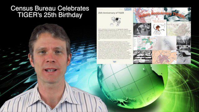
This GeoSpatial Stream broadcast discusses "People to Pixels" remote-sensing techniques that won a major award; the 25th anniversary of the U.S. Census Bureau's TIGER database; industry news from Esri, SmarterBetterCities, TomTom, Fleetlogic and ThinkGeo; clips from an interview with Greg Bentley, CEO of Bentley Systems; information about an upcoming Webcast on Structural Steel Fabrication; and more.
5_12 Infrastructure Broadcast (Earthquakes, Streetcars and More)
0 Views0 Comments0 Likes
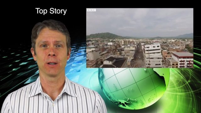
This Infrastructure-themed GeoSpatial Stream broadcast covers the devastating earthquake in Ecuador on April 16, 2016, and relief efforts from Miyamoto International to help rebuild the city's hard-hit infrastructure; a recently opened $100-million-dollar streetcar project in Kansas City; industry news from Trimble, Bentley Systems, Transoft Solutions and Autodesk; a video interview clip about Chicago's famed 150 N. Riverside Building; and more.
11_26 Asia-Pacific Broadcast (Gaofen-23, Hokkaido Map and More)
0 Views0 Comments0 Likes
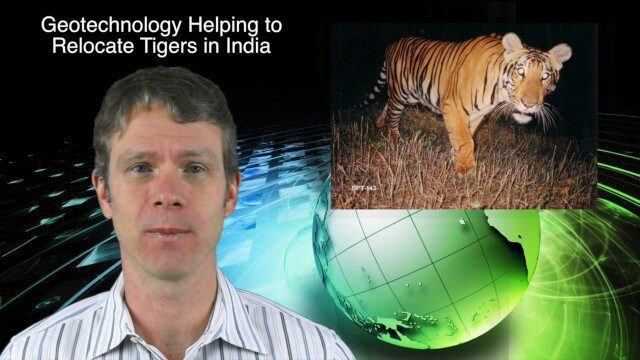
This Asia-Pacific-focused GeoSpatial Stream broadcast discusses the recently launched Chinese Gaofen-23 remote-sensing satellite; researchers in India finding and relocating tigers; a new map of disputed territories off the coast of Hokkaido; Brisbane GIS Day, the largest GIS Day event in the world; the Locate 15 Conference; an Esri Australia contract with the Australian Department of Defence; a video about UN's FAO using geospatial technology; and more.


