


Category: Daily Digests
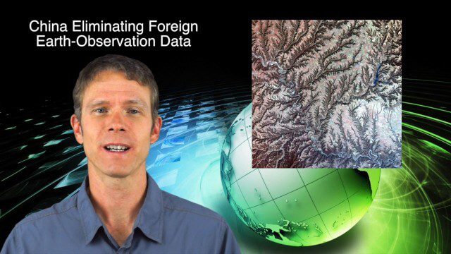
9_25 Asia-Pacific Broadcast (South China Sea, Earth Observation Data and More)
4.03K Views0 Comments0 Likes
This Asia-Pacific-focused GeoSpatial Stream broadcast discusses ongoing land and sea disputes in the South China Sea and how mapping is playing a role; China achieving its goal of decreasing foreign-sourced Earth-observation data; a near-miss for Vietnam's first Earth-Observation satellite; industry news from Supergeo, Esri and JSC Russian Space Systems; opinions on territorial disputes; and more.
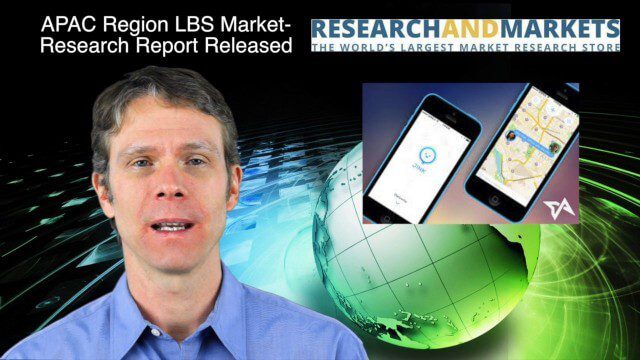
12_18 Asia-Pacific Broadcast (Cultural Heritage, APAC LBS Market and More)
3.98K Views0 Comments0 Likes
This Asia-Pacific-focused GeoSpatial Stream broadcast discusses a Cultural Preservation survey project in LaoSiCheng, China; a market-research report on the APAC region's LBS market; a V1 Media interview with a Bentley Systems Year in Infrastructure award winner from China; industry headlines from Paragon Software Systems, SkyTraq Technology Inc., Supergeo Technologies and Hamon Thermal Co.; and more.

4_16 Drones/UAS Broadcast (Earth Day, Mysterious Methane and More)
3.97K Views0 Comments0 Likes
This GeoSpatial Stream broadcast discusses important FAA practices impacting drone/UAS use; an article that digs deeper into the many possible consequences of FAA's actions; a mysterious methane hotspot in the U.S. Four Corners area; industry news from Hexagon, Airbus Defence and Space, and SimActive; Earth Day; and more.
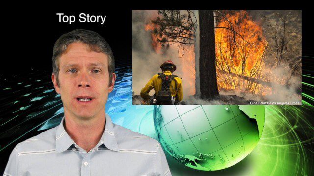
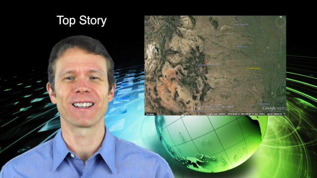
7_9 Earth Imaging Broadcast (California Fires, Drone Mayhem and More)
3.96K Views0 Comments0 Likes
This Earth Imaging-themed GeoSpatial Stream broadcast discusses the California Lake Fire and its mapping by satellites as well as amateur drone use that disrupted firefighting; NASA's work to develop drones with sense-and-avoid systems; satellite sensors using gravity to detect depleting groundwater basins; electromagnetic survey data for geology; industry news from Orbit Logic, 4D Mapper and Lockheed Martin; thoughts on amateur drone use; and more.

Conference Recap from Las Vegas (Autodesk University, Breaking News, Quadrocopters and other Innovations)
3.92K Views0 Comments0 Likes
This video was recorded in Las Vegas during the Autodesk University 2013 Conference. Topics include an extensive recap of conference events, keynotes, themes and news; the latest innovations such as quadrocopters and contour crafting; and more.

1_8 New Year Broadcast (10 Predictions for 2015, AirAsia Flight and More)
3.91K Views0 Comments0 Likes
This GeoSpatial Stream broadcast looks back at 2014 and ahead to 2015, including the Top Ten Predictions for 2015; the tragic Indonesia AirAsia Flight 8501; industry news from Cadcorp, the Space Foundation and Elsevier; a roundup of important milestones from 2014; and more.
2_12 Maps and Drones Broadcast (Google Maps, Drones for Good and More)
3.88K Views0 Comments0 Likes
This GeoSpatial Stream broadcast discusses the 10-year anniversary of Google Maps; the Drones for Good contest and drone privacy issues; industry news from Esri, Cadcorp and LizardTech; an unintentionally funny video from Ordnance Survey in 1965; and more.

3_31 Remote-Sensing Broadcast (Melting Ice, Deadly Air Pollution, Food Maps and More)
3.87K Views0 Comments0 Likes
This GeoSpatial Stream broadcast discusses the devastating flooding throughout Europe and how satellites are helping; the 2015 NOAA satellite budget; a new NASA imager for global precipitation; commercial remote-sensing distributors; Airbus Defense and Space and its involvement with Sentinel-5; satellites observing the formation of black holes; and more.

6_2 GPS Broadcast (Topo Maps, Napoleon, HxGN LIVE, More)
3.86K Views0 Comments0 Likes
This GeoSpatial Stream broadcast includes a tribute to the "founder of GPS," Roger Easton, and discusses new USGS Topo maps; cloud computing frameworks; a book featuring the famous Minard Map of Napoleon's Russian Campaign of 1812; BlackBridge financing; World Cup Stadium images from Airbus; and an upcoming trip to HxGN LIVE in Las Vegas, Nevada.
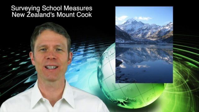
3_19 Asia Pacific Broadcast (Malaysia Airlines Search, India Water Tool and More)
3.86K Views0 Comments0 Likes
This Asia-Pacific-themed GeoSpatial Stream broadcast discusses Geoscience Australia's seafloor mapping efforts in the continued search for Malaysia Airlines Flight 370; India mapping schools and water; surveyors measuring the height of New Zealand's tallest peak, Mount Cook; industry news from Esri India, Locate15, ISRO and Google; powerful maps created by children in India of the slums they live in and how they'd like to see them rebuilt; and more.


