


Category: Conference Interviews
Data Leading a Geospatial Revolution
2.15K Views0 Comments0 Likes
The V1 Video team interviewed Scott Jachimski, director of Data Science at Booz Allen Hamilton, at the GEOINT Symposium in Washington, D.C. We spoke about data science and the need to improve our ability to leverage the mass amounts of data that we’re collecting. Booz Allen Hamilton is leveraging analytical workflows and bringing disparate data together in a “data lake” approach that brings them out of silos to allow the data to help tell you what to do.
Interview with Theo Agelopoulos, Autodesk
1.49K Views0 Comments0 Likes
In November 2019, Informed Infrastructure Editorial Director Todd Danielson interviewed Theo Agelopoulos, the senior director of Infrastructure Strategy and Marketing at Autodesk, at the Autodesk University (AU) Confe...
SmarterBetterCities Returns to Geodesign Summit
3.18K Views0 Comments0 Likes
SmarterBetterCities uses innovative Web-based tools, such as Cloud Cities and 3D Cities Libraries, that allow users to create 3D content and scenarios for urban planning. On behalf of V1 Media, Informed Infrastructure and GeoSpatial Stream, Todd Danielson interviewed Antje Kunze, CEO of SmarterBetterCities, at the Geodesign Summit 2015 in Redlands, Calif.
The Future of Making Things at Autodesk and Industrywide
3.00K Views0 Comments0 Likes
The V1 Video team interviewed Curtis Chan, Technical Evangelist at Autodesk, at the 2016 SPAR 3D Expo and Conference, held April 11-14 in The Woodlands, Texas. A keynote speaker at the event, he discusses "the future of making things" at Autodesk and through the industry; Autodesk's creative platforms such as Fusion, Spark and Forge; interesting use cases that have caught his attention; and how 3D printing can be scaled up into construction projects.
David Huie and David Burdick: Reality Capture and Modeling, LumenRT, and Visualization for Communication
3.95K Views0 Comments0 Likes
Informed Infrastructure interviewed Bentley Systems' David Huie, Product Marketing, Reality Modeling, and David Burdick, Market Development, Visualization, at the Year In Infrastructure Event held Nov. 1-3, 2017, at the Hilton London Metropole. They take turns discussing Bentley's latest advances in reality capture and modeling, including its LumenRT product, as well as how to best use visualization for communication with the expanding amount of "non-technical" stakeholders.
Design Data Adds Intelligence to Crane Modeling
3.60K Views0 Comments0 Likes
Todd Danielson interviews Doug Evans, Vice President, Sales, Design Data, at the HxGN LIVE event in Las Vegas, Nevada. They discuss sharing models with Intergraph software for production and manufacturing, its new SDS/2 Erector product that adds intelligence to crane modeling and building, and more.
Airbus Defence and Space Launches WorldDEM DTM
2.41K Views0 Comments0 Likes
Airbus Defence and Space released its global elevation model that was captured by the twin TerraSAR-X and TanDEM-X radar satellites in 2014 and now is producing Digital Terrain Models based on this dataset. The 12-meter-resolution pole-to-pole elevation data are a major improvement upon the commonly used 30-meter USGS SRTM data. Earth Imaging Journal spoke with Gertrud Riegler, WorldDEM Product Manager, Airbus Defence and Space, at the International Space Symposium about this new dataset and its many uses.
Elmer Bol Interview (Autodesk)
5.42K Views0 Comments0 Likes
Matt Ball interviews Elmer Bol, Director of Product Management, Autodesk, at SPAR International in Colorado Springs, Colo. They discuss Reality Capture solutions, evolution in the construction industry, laser scanning, Autodesk products, data capture and mining, change detection, and more.
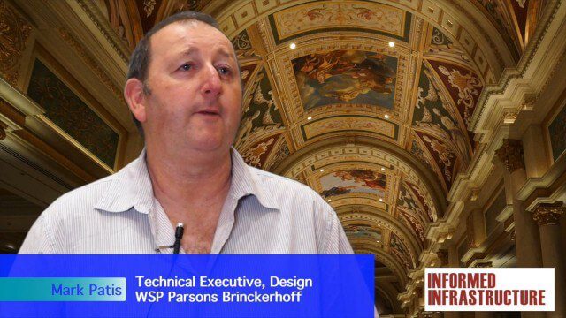
Australian Engineers Using BIM on Major Projects
3.33K Views0 Comments0 Likes
The V1 Video team was at Autodesk University 2015 in Las Vegas and interviewed Mark Patis, Technical Executive, Design, WSP Parsons Brinckerhoff. He discussed model-based design and how to gain project efficiencies, some major engineering projects in Australia, 3D modeling, and the power of visualization.
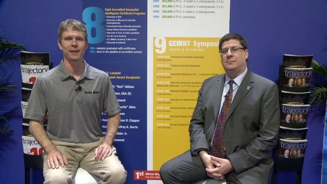
Keith Masback Interview (USGIF CEO at GEOINT)
2.98K Views0 Comments0 Likes
Todd Danielson interviews Keith Masback, CEO of the U.S. Geospatial Intelligence Foundation (USGIF), at the GEOINT Symposium in Tampa, Florida. They discuss highlights of the event, the effect of the show's unexpected delay from fall 2013 to spring 2014 and what has changed since then, where and when the next event will be held, how technologies start at GEOINT and "trickle down" into the larger industry, industry integration, the wide range of companies in attendance, and more.


