Category: Conference Interviews
Elmer Bol Interview (Autodesk)
0 Views0 Comments0 Likes
Matt Ball interviews Elmer Bol, Director of Product Management, Autodesk, at SPAR International in Colorado Springs, Colo. They discuss Reality Capture solutions, evolution in the construction industry, laser scanning, Autodesk products, data capture and mining, change detection, and more.
Harris Geospatial’s Geiger-Mode LiDAR Changing Industry
0 Views0 Comments0 Likes
The V1 Video team spoke with Mark Romano, Senior Product Manager, Harris Commercial Geospatial, at the ILMF 2016 event held in Denver in February 2016. He spoke about the major differences between traditional LiDAR and Geiger-Mode LiDAR acquisition and data, Harris acquiring Exelis, and the new types of customers and projects that Geiger-Mode LiDAR allows.
JE Dunn Construction Puts a Lens on Estimating
0 Views0 Comments0 Likes
The V1 Video team was at Autodesk University 2015 in Las Vegas and interviewed John Jacobs, Chief Information Officer, JE Dunn Construction. He discussed the company's "ground breaking" Lens software for project cost estimating, the company's partnership with Autodesk and its Large-Model Viewing, and the benefits of model-based estimating.
Intergraph Integrates Public-Safety Technology
0 Views0 Comments0 Likes
V1 Media and GeoSpatial Stream attended HxGN Live, Hexagon's annual user conference, at the MGM Grand in Las Vegas from June 1-4, 2015. They interviewed Kalyn Sims, Chief Technology Officer at Intergraph, who discussed modern computer-aided dispatch, Intergraph's public-safety technology ecosystem, Big Data challenges, evolving patrol work and the rise of UAVs.
Pushing Geospatial Content to the Edge of the Enterprise
0 Views0 Comments0 Likes
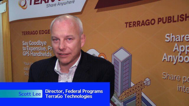
The V1 Video team interviewed Scott Lee, director of Federal Programs at TerraGo Technologies, at the GEOINT Symposium in Washington, D.C. We spoke about how GeoPDF products are democratizing access to geospatial data, with extensive use of the tools in the defense and intelligence communities. The company is extending access via mobile devices and empowering the consumer to mark observations that then improve the quality and accuracy of geospatial information.
Dominique Pouliquen Interview (Autodesk)
0 Views0 Comments0 Likes
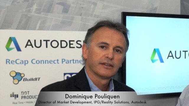
Matt Ball interviews Dominique Pouliquen, Director of Market Development, IPG/Reality Solutions, Autodesk, at SPAR International in Colorado Springs, Colo. They discuss reality computing, the scanning workflow, ReCap Connect, the new RCS format for point clouds, how plug-ins and Web APIs can help customers, and more.
Jack Dangermond Implores GIS Community to Get Involved to Make a Difference (4 of 4)
0 Views0 Comments0 Likes
In the final of four installments, Todd Danielson interviews Jack Dangermond, President and Founder, Esri, at the 2014 Esri User Conference in San Diego. Jack talks about his passion to solve problems, sometimes at a global scale, and enabling the next generation to help tackle the world's problems. He also encourages the GIS community to "move out and play at 100 percent."
Interview with CEOs of Bentley Systems and Topcon Positioning Systems
0 Views0 Comments0 Likes
In October 2019, Informed Infrastructure Editorial Director Todd Danielson went to Bentley Systems’ Year In Infrastructure conference in Singapore. While there as an award juror for the Buildings and Campuses category, he was able to interview Greg Bentley and Ray O'Connor, the CEOs of Bentley Systems and Topcon Positioning Systems, respectively, about their companies and the joint venture they launched at the event: Digital Construction Works Incorporated (DCW).
Hearing the Voice of the Customer
0 Views0 Comments0 Likes
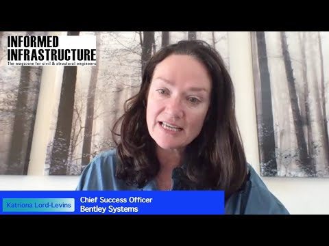
Todd Danielson, Informed Infrastructure's editorial director, interviewed Katriona Lord-Levins, the chief success officer for Bentley Systems, via webcam.
RIEGL Creating 3D Data for Improved Disaster Response
0 Views0 Comments0 Likes
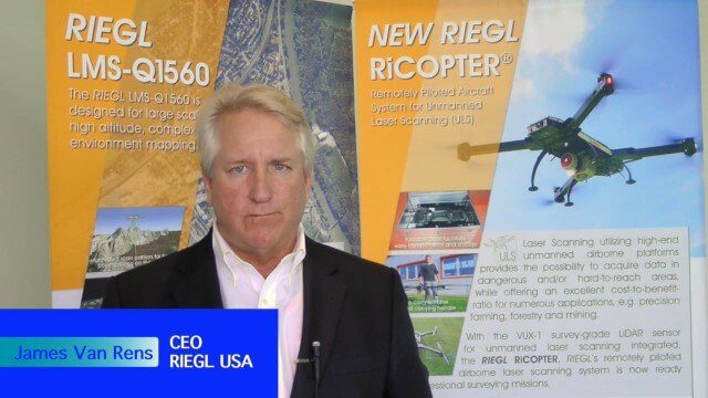
The V1 Video team interviewed James Van Rens, CEO of RIEGL USA, at the 2015 Esri User Conference in San Diego. We spoke at the 3D Mapping Forum, focusing on the need to map the shoreline for improved disaster response. The company also showcased its new RiCOPTER mapping drone.


