


Category: Conference Interviews
Analytics, Ease of Use and Accessibility at Esri
0 Views0 Comments0 Likes
The V1 Video team interviewed Brian Lehman, director of Defense Business Development at Esri, at the GEOINT Symposium in Washington, D.C. We spoke about task-driven workflows that streamline multi-step processes, incorporating automation to ease the tedious nature of some lengthy geospatial processing and analysis functions. The company has developed a number of analytic tools that also ease integration, harnessing the power of geography to integrate intelligence data.

App Aids Satellite Imaging Awareness
0 Views0 Comments0 Likes
The V1 Video team interviewed Alex Herz, president of Orbit Logic, at the GEOINT Symposium in Washington, D.C. We talked about the company’s satellite imagery planning and scheduling capabilities as well as its new foray into apps to make satellite imagery more accessible to everyone. The SpyMeSat mobile application lets smartphone users know when imaging satellites are overhead, what their capabilities are, and has recently added tasking so users can order images directly from their phones.
Australian Engineers Using BIM on Major Projects
0 Views0 Comments0 Likes
The V1 Video team was at Autodesk University 2015 in Las Vegas and interviewed Mark Patis, Technical Executive, Design, WSP Parsons Brinckerhoff. He discussed model-based design and how to gain project efficiencies, some major engineering projects in Australia, 3D modeling, and the power of visualization.
Autodesk and the Future of the Built Environment
0 Views0 Comments0 Likes
The V1 Video team interviewed Aaron Morris, General Manager of the Reality Solutions Group at Autodesk, at the 2016 SPAR 3D Expo and Conference, held April 11-14 in The Woodlands, Texas. He discusses several new developments at Autodesk, including the company's ReCap products and its new pricing model, new data services to make analysis easier, scan-to-mesh services for asset management, and how reality capture will replace existing methods of asset documentation.
Autodesk Enabling Automated UAV Data Processing in the Cloud
0 Views0 Comments0 Likes
The V1 Video team spoke to Dominique Pouliquen, director of marketing and Drone/UAS Initiative Coordinator for Autodesk’s Reality Systems Group, about his group’s focus on bridging sensor inputs with the company’s extensive line of design and engineering software. They are breaking down the barrier for UAV users to process and create products that are aligned to specific applications such as construction monitoring, mining and cultural heritage.
Autodesk Investing in the Future of Civil Infrastructure
0 Views0 Comments0 Likes
The V1 Video team was at Autodesk University 2015 in Las Vegas and interviewed Terry Bennett, Senior Industry Strategist, Civil Infrastructure, Autodesk. He discussed his role in analyzing future trends, what cities need to become truly "Smart Cities," the benefits of accurate 3D modeling, and getting specific about how projects "will impact me."
Autodesk’s Aaron Morris Discusses Reality Computing
0 Views0 Comments0 Likes
Aaron Morris is the ReCap Product Manager at Autodesk, and he spoke with V1 Media's Todd Danielson at SPAR International, which was held March 30-April 2, 2015, in Houston, Texas. They discussed spatial sensor data, reality computing, Autodesk product developments and enhancements, UAV applications and more.
Automating UAS Data Processing to Understand Change
0 Views0 Comments0 Likes
The V1 Video team spoke to Kevin Jones, the director of marketing for PCI Geomatics, about the company’s software to extract information from imagery. The commercial UAS market is a promising input to their image-processing tools, particularly with their automated information-extraction tools, to detect changes.
Ball Aerospace Delivers Science-Driven Sensors
0 Views0 Comments0 Likes
Ball Aerospace is a unique entity that delivers imaging instruments as well as full satellites, bringing scientists and engineers together to optimize sensor and spacecraft design. Earth Imaging Journal spoke with Tim Holden, director of advanced systems at Ball Aerospace, about sensor development, the commercialization of space and opportunities in remote sensing with increased temporal revisits.
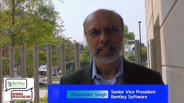
Bentley Looks to Leverage the Cloud Across Projects
0 Views0 Comments0 Likes
Informed Infrastructure spoke to Bhupindher Singh, senior vice president of Bentley Software, at the company’s CONNECTION roadshow kickoff in Philadelphia. We touched on the launch of the company’s CONNECT Edition to use the cloud to collaborate and provide value across the enterprise.


