


Category: Conference Interviews
Pictometry/EagleView Interview at GeoDesign Summit
0 Views0 Comments0 Likes
Todd Danielson interviews Peter White, product manager and business analyst for Pictometry. They discuss how oblique imagery can help create better 3-D models as well as the future possibilities of a potential company acquisition.

Richard Humphrey Autodesk Interview (Short Version)
0 Views0 Comments0 Likes
In this condensed version, Todd Danielson interviews Richard Humphrey, senior director, Infrastructure Products, Autodesk. They discuss how technology can help "bridge the gaps" in infrastructure spending, simulation services, and large-scale modeling.

Richard Humphrey Interview (Full-Length Version)
0 Views0 Comments0 Likes
Todd Danielson interviews Richard Humphrey, senior director, Infrastructure & Collaboration Products, Autodesk. They discuss how technology can help "bridge the gaps" in infrastructure spending, the Autodesk infrastructure product suite, simulation services, information unification, rules-based design platforms, large-scale modeling, and Autodesk's ReCap product.
Ron Roth and Anders Ekelund Interview
0 Views0 Comments0 Likes
Matt Ball interviews Ron Roth, product manager, Airborne LiDAR, Leica Geosystems, and Anders Ekelund, managing director, Airborne Hydrography AB. They discuss Leica's acquisition of Airborne Hydrography AB and the bathymetric products the company creates, including its Chiroptera system.
Nick Palatiello Interview
0 Views0 Comments0 Likes
Matt Ball interviews Nick Palatiello, Assistant Executive Director for External Affairs, MAPPS. They discuss the lobbying organization's history, agenda and how it works with government officials to advocate for the geospatial profession.

Patrick Collins Interview
0 Views0 Comments0 Likes
Matt Ball interviews Patrick Collins, Technical Solutions Engineer, Exelis Visual Information Solutions. They discuss the increasing size of LiDAR data and the tools to handle such volume as well as the variety of ways image data can be analyzed, including automated feature extraction.
Alistair Stuart, Leica Geosystems, Interview
0 Views0 Comments0 Likes
Matt Ball interviews Alistair Stuart, sales of Airborne Sensors, Leica Geosystems. They discuss Leica's recent purchase of Aibotix and its Aibot X6 hexacopter. Stuart discusses the advantages of the UAS compared to other imagery vehicles in terms of cost, safety and portability.
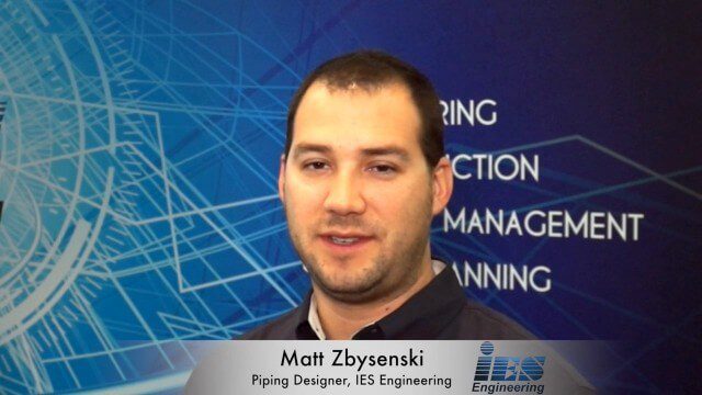
Matt Zbysenski Interview (IES Engineering)
0 Views0 Comments0 Likes
Matt Ball interviews Matt Zbysenski, Piping Designer, IES Engineering, at SPAR International in Colorado Springs, Colo. They discuss LiDAR in the construction workflow, safety mitigation, cost/time savings, pre-fabricated construction, and oil & gas uses.

Mike Tully Interview (Aerial Services Inc.)
0 Views0 Comments0 Likes
Matt Ball interviews Mike Tully, President and CEO, Aerial Services Inc., at SPAR International in Colorado Springs, Colo. They discuss remote sensing and airborne LiDAR in a variety of industries, sensor diversity, streamlining data delivery, and industry disruption due to unmanned aerial systems.

Jon Skiffington Interview (LizardTech)
0 Views0 Comments0 Likes
Todd Danielson interviews Jon Skiffington, Director, Product Management, LizardTech, at the GEOINT Symposium in Tampa, Florida. They discuss LizardTech's MrSID product and how it compresses imagery and other large datasets, GEOINT imagery users, GeoExpress and Express Server 9, and the company Web site.


