Category: Conference Interviews
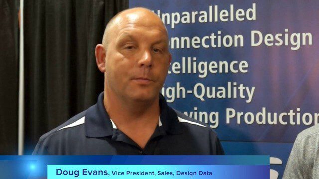
Design Data Adds Intelligence to Crane Modeling
0 Views0 Comments0 Likes
Todd Danielson interviews Doug Evans, Vice President, Sales, Design Data, at the HxGN LIVE event in Las Vegas, Nevada. They discuss sharing models with Intergraph software for production and manufacturing, its new SDS/2 Erector product that adds intelligence to crane modeling and building, and more.
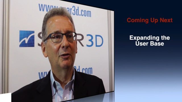
Greg Bentley Discusses Reality Modeling Worldwide
0 Views0 Comments0 Likes
The V1 Video team interviewed Greg Bentley, CEO of Bentley Systems, at the 2016 SPAR 3D Expo and Conference, held April 11-14 in The Woodlands, Texas. In Part II, he discusses how reality modeling is being applied in several locations across the world, the impacts such modeling is having in expanding the user base beyond engineering and how reality modeling can provide substantial return on investment.
Geodesign Summit 2015: Speaker Highlights
0 Views0 Comments0 Likes
The Geodesign Summit 2015 featured a variety of speakers and topics focused on designing a better and smarter built environment. This video produced by GeoSpatial Stream highlights some of the best, funniest and most thought-provoking moments.
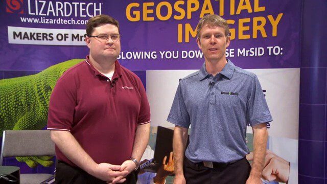
Jon Skiffington Interview (LizardTech)
0 Views0 Comments0 Likes
Todd Danielson interviews Jon Skiffington, Director, Product Management, LizardTech, at the GEOINT Symposium in Tampa, Florida. They discuss LizardTech's MrSID product and how it compresses imagery and other large datasets, GEOINT imagery users, GeoExpress and Express Server 9, and the company Web site.
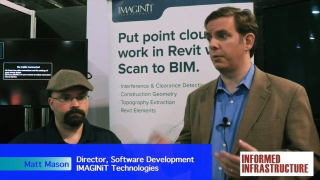
IMAGINiT Talks BIM and Lifecycle Management
0 Views0 Comments0 Likes
The V1 Video team was at Autodesk University 2015 in Las Vegas and interviewed Carl Storms, Senior Application Expert, and Matt Mason, Director of Software Development, both with IMAGINiT Technologies. They discussed BIM use throughout a project's lifecycle, the company's Clarity owner data portal and its benefits to users, and the latest updates for its Scan to BIM product for use with Revit.
Trimble Announces Partnership with DotProduct
0 Views0 Comments0 Likes
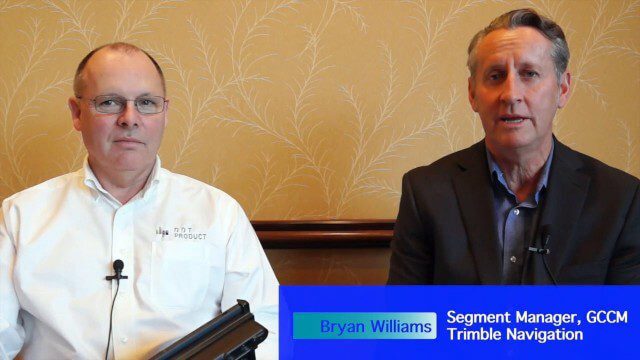
Bryan Williams, Segment Manager, GCCM, Trimble Navigation, joined Tom Greaves, Chief Marketing Officer, DotProduct, to discuss a recent partnership between the two companies. In an interview with V1 Media's Todd Danielson at SPAR International, which was held March 30-April 2, 2015, in Houston, Texas, they discussed DotProduct and its products as well as how they fit into Trimble's plans. Williams also discusses vertical construction and additional new Trimble technologies.
Getting Accurate Results Quickly and Cheaply with Unmanned Aircraft
0 Views0 Comments0 Likes
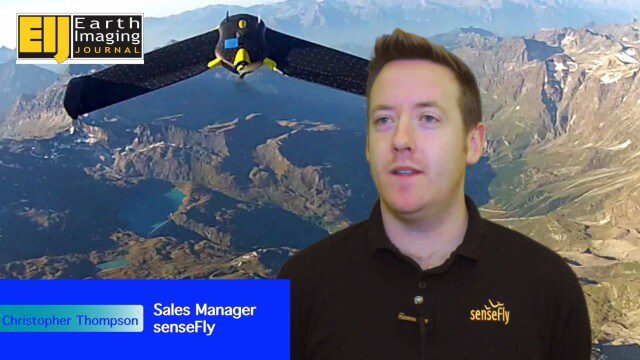
The V1 Video team spoke to Christopher Thompson, the sales manager for senseFly, the manufacturers of fixed-wing and rotary unmanned aircraft systems (UASs) for mapping. We talked about the broad range of applications and some interesting case studies. We also touched on the inspection capabilities of their new eXom rotary platform.
David Early Discusses Smart Growth at Geodesign Summit
0 Views2 Comments0 Likes
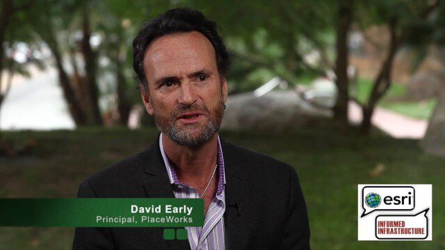
David Early, principal at PlaceWorks, is a renowned expert on smart growth. For more than 25 years, he has worked with communities and helped numerous clients prepare successful grant applications to help fund long-range planning efforts. On behalf of V1 Media, Informed Infrastructure and GeoSpatial Stream, Todd Danielson interviewed Early at the Geodesign Summit 2015 in Redlands, Calif.
InsiteVR Takes Virtual Reality Beyond Gaming, into Design
0 Views0 Comments0 Likes
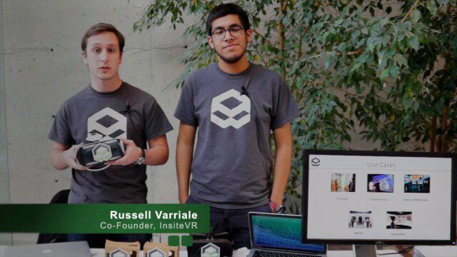
InsiteVR helps viewers better understand a variety of designs by experiencing them from a realistic perspective. On behalf of V1 Media, Informed Infrastructure and GeoSpatial Stream, Todd Danielson interviewed Angel Say and Russell Varriale, co-founders of InsiteVR, at the Geodesign Summit 2015 in Redlands, Calif.
Weather-Observation Gap Over Middle East Causes Consternation
0 Views0 Comments0 Likes
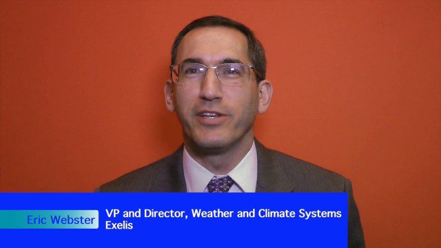
Exelis makes the majority of the weather and climate instruments for the U.S. government as well as Japan and Korea, including those that monitor greenhouse gases. Earth Imaging Journal spoke with Eric Webster, vice president and director for weather and climate systems at Exelis. His team has been working with the U.S. Air Force to study weather capabilities over Centcom (the Middle East and the Indian Ocean) that have been provided by a European weather satellite. The other weather instruments are owned by Russia and China, so there’s some concern about the source of this sensing going forward.


