Category: Conference Interviews
Trimble Providing a Complete Aerial Mapping Solution
0 Views0 Comments0 Likes
The V1 Video team spoke with Christian Hoffman, Marketing Manager for Trimble's Aerial LiDAR, Photogrammetry and Remote-Sensing Solutions, at the ILMF 2016 event held in Denver in February 2016. He spoke about Trimble's complete packages for LiDAR acquisition, including the AX60i, AX60 and AX80 hardware as well as the company's Inpho and eCognition software.
Trimble’s Mobile Mapping Systems Enabling Greater Access
0 Views0 Comments0 Likes
The V1 Video team spoke with Eric McCuaig, Market Manager for Trimble's Land, Mobile and UAS Systems, at the ILMF 2016 event held in Denver in February 2016. He spoke about the company's new MX7 mobile-mapping product and its applications as well as the importance of ease of use in modern systems.
Ulf Mansson Moving Geodata to Minecraft
0 Views0 Comments0 Likes
Ulf Mansson, senior project manager for SWECO, has more than 20 years of experience in the geospatial industry. In 2013, he invented a method to stream geodata into the game Minecraft. On behalf of V1 Media, Informed Infrastructure and GeoSpatial Stream, Todd Danielson interviewed Mansson at the Geodesign Summit 2015 in Redlands, Calif.
URISA Ready for Upcoming GIS-Pro Event in New Orleans
0 Views0 Comments0 Likes
Todd Danielson interviews Amy Esnard, Conference Chair for URISA's GIS-Pro event being held Sept. 8-11, 2014, in New Orleans. They discuss URISA's goals for the event, the benefits of hosting the event in New Orleans, the conference theme of "Community Resilience," and some expected program and social highlights.
Using Drones to Provide Insight for Disaster Recovery
0 Views0 Comments0 Likes
The V1 Video team spoke to Patrick Meier at the Commercial UAV Expo. Meier is a thought leader on humanitarian technology and innovation as well as founder of the Humanitarian UAV Network (UAViators), which has worked in the Philippines to help in the recovery of Cyclone Pam and in Nepal for response to the recent earthquake. We talked about the growing utility of UAVs as well as the use of automation and crowdsourcing to reduce the time and burden of analysis.
Valarm Interview at GeoDesign Summit
0 Views0 Comments0 Likes
Todd Danielson interviews a team from Valarm, including Lorenzo Gonzalez, CEO and Software Architect, and Edward Pultar, President and Spatial Scientist. They discuss the company's vision, its clients and how its software assimilates sensor information.
Value Engineering for Site Planning and Preparation
0 Views0 Comments0 Likes
Informed Infrastructure spoke with Michael Kissinger, senior engineer and Land Development Division Manager at Pennoni Associates, and Steve Lewis, single point of contact for Pennoni’s Bentley SITEOPS business. We touched on their creative use of the SITEOPS site-planning tool on a variety of projects to win and retain business.
Weather-Observation Gap Over Middle East Causes Consternation
0 Views0 Comments0 Likes
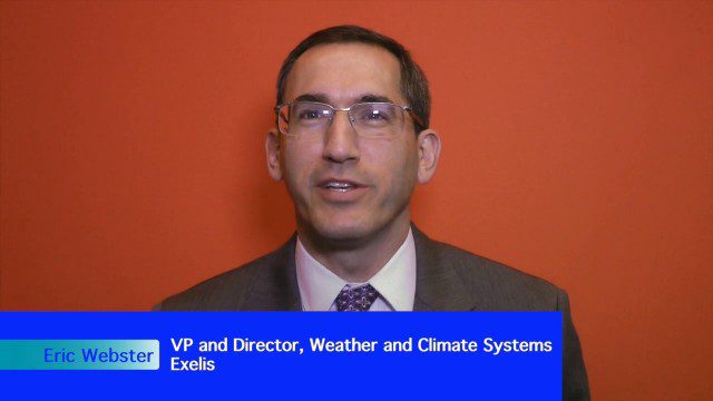
Exelis makes the majority of the weather and climate instruments for the U.S. government as well as Japan and Korea, including those that monitor greenhouse gases. Earth Imaging Journal spoke with Eric Webster, vice president and director for weather and climate systems at Exelis. His team has been working with the U.S. Air Force to study weather capabilities over Centcom (the Middle East and the Indian Ocean) that have been provided by a European weather satellite. The other weather instruments are owned by Russia and China, so there’s some concern about the source of this sensing going forward.
What Is the Geodesign Summit?
0 Views6 Comments0 Likes
Esri's annual Geodesign Summit has been a key element in moving the geodesign movement forward. This video from GeoSpatial Stream summarizes some of the important geodesign concepts as well as how Esri's conference informs and motivates those interested in designing a better and smarter built environment.


