


Category: Conference Interviews
Harnessing a New Set of Hyperspectral Eyes
1.92K Views0 Comments0 Likes
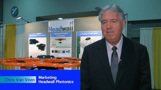
The V1 Video team interviewed Chris Van Veen, who handles marketing for Headwall Photonics, at the GEOINT Symposium in Washington, D.C. The company focuses on hyperspectral imaging to discern details and features such as vegetation health. The company is now deploying their sensors on Unmanned Aircraft Systems for cheaper and more-automated sensing and monitoring.
Analytics, Ease of Use and Accessibility at Esri
1.87K Views0 Comments0 Likes
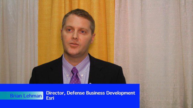
The V1 Video team interviewed Brian Lehman, director of Defense Business Development at Esri, at the GEOINT Symposium in Washington, D.C. We spoke about task-driven workflows that streamline multi-step processes, incorporating automation to ease the tedious nature of some lengthy geospatial processing and analysis functions. The company has developed a number of analytic tools that also ease integration, harnessing the power of geography to integrate intelligence data.
Hearing the Voice of the Customer
1.76K Views0 Comments0 Likes
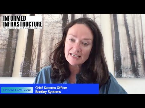
Todd Danielson, Informed Infrastructure's editorial director, interviewed Katriona Lord-Levins, the chief success officer for Bentley Systems, via webcam.

Exelis Aims at Small Satellite Sensor Development
1.68K Views0 Comments0 Likes
Earth Imaging Journal spoke with Craig Oswald, account manager for remote-sensing commercial markets at Exelis. We spoke about the smallsat market as well as maintaining high imagery quality while riding the faster, better, cheaper wave as Earth-observation satellites continue to proliferate.
Single-Rotor Camcopter Extends Range and Flight Times
1.68K Views0 Comments0 Likes
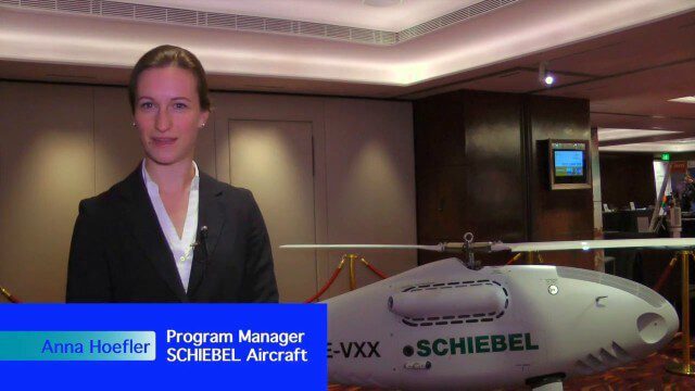
Informed Infrastructure spoke with Anna Katharina Hoefler, program manager at SCHIEBEL, at the RIEGL LiDAR Conference in Hong Kong. The rugged and large-scale single-rotor CAMCOPTER has a flight time of greater than six hours and a range from 50-200 kilometers.
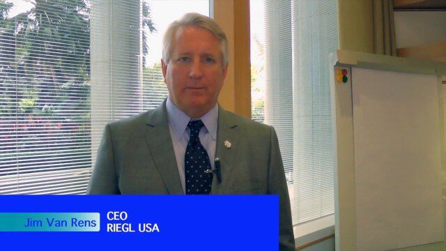
Promoting the Value of 3-D Data for the Nation
1.55K Views0 Comments0 Likes
Informed Infrastructure spoke with Jim Van Rens, CEO of RIEGL USA, at the company’s user conference in Hong Kong. Jim is actively involved in helping promote the U.S. Geological Survey’s 3D Elevation Program (3DEP) that aims to map the country in high-resolution 3-D using LiDAR and aligned technologies.

Interview with Theo Agelopoulos, Autodesk
1.49K Views0 Comments0 Likes
In November 2019, Informed Infrastructure Editorial Director Todd Danielson interviewed Theo Agelopoulos, the senior director of Infrastructure Strategy and Marketing at Autodesk, at the Autodesk University (AU) Confe...
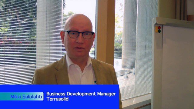
Processing and Visualizing Seamless Mobile LiDAR Point Clouds
1.49K Views0 Comments0 Likes
Informed Infrastructure spoke with Mika Salolahti, Business Development Manager at Terrasolid, about the processing and visualization of high-quality LiDAR point clouds. The visualization of tramlines in Helsinki, including overhanging wires, proves a powerful tool for asset management, maintenance and planning.
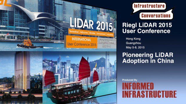
Pioneering LiDAR Adoption in China
1.47K Views0 Comments0 Likes
Informed Infrastructure interviewed Yanjing Liu, CEO of Five Star Electronic Technology, at the RIEGL LiDAR Conference in Guangzhou, China. Liu left his academic position at Virginia Tech and companies he founded in the United States to pioneer the use of LiDAR in China. We spoke about the hard work needed to set up this capacity as well as some landmark projects, including 3-D mapping of the Great Wall.

Interview with Esri President Jack Dangermond
1.36K Views0 Comments0 Likes
In November 2019, Informed Infrastructure Editorial Director Todd Danielson interviewed Esri President Jack Dangermond at the Autodesk University (AU) Conference in Las Vegas.


