


Category: Conference Interviews
Placemeter Building Real-Time Dynamic Data Layer
0 Views0 Comments0 Likes
Placemeter collects and serves up-to-the-minute information such as how crowded a place is, how long the wait is, and whether it will get more or less crowded in the next hour. On behalf of V1 Media, Informed Infrastructure and GeoSpatial Stream, Todd Danielson interviewed Jason Novack, solutions architect at Placemeter, at the Geodesign Summit 2015 in Redlands, Calif.

Platform Interoperability for Project Improvement
0 Views0 Comments0 Likes
Informed Infrastructure spoke to Huw Roberts, vice president of platform marketing at Bentley Systems, at the company’s CONNECTION Event roadshow kickoff in Philadelphia. We touched on the next era of project workflows, with greater integration across processes and analytics for better outcomes.

Podcast with Esri’s Dr. Este Geraghty
0 Views0 Comments0 Likes
Todd Danielson, V1 Media’s editorial director, interviewed Dr. Este Geraghty, the Chief Medical Officer at Esri, on Feb. 11, 2024, at the GeoWeek Conference in Denver. Before delivering her keynote speech the ...
PrecisionHawk Making a Marketplace for UAS Data Management and Analysis
0 Views0 Comments0 Likes
The V1 Video team spoke with Thomas Haun, vice president of strategy and globalization at PrecisionHawk, at the recent Commercial UAV Expo. PrecisionHawk has developed a fixed-wing UAS as well as an online data management and analysis platform to help data collectors provide insight. We talked about the agriculture market, the flexibility of using different sensor payloads and acting on information.
Processing and Visualizing Seamless Mobile LiDAR Point Clouds
0 Views0 Comments0 Likes
Informed Infrastructure spoke with Mika Salolahti, Business Development Manager at Terrasolid, about the processing and visualization of high-quality LiDAR point clouds. The visualization of tramlines in Helsinki, including overhanging wires, proves a powerful tool for asset management, maintenance and planning.
Profile Soil Solutions Software (PS3) Explained
0 Views0 Comments0 Likes
The V1 Video team spoke with Matthew Welch, Technical Manager, Profile Products, at the International Erosion Control Association (IECA) Environmental Connection 2016 event held in San Antonio in February 2016. He explained the five key components of a PS3 implementation, the importance of having quality scientific data, value engineering and more.

Promoting the Value of 3-D Data for the Nation
0 Views0 Comments0 Likes
Informed Infrastructure spoke with Jim Van Rens, CEO of RIEGL USA, at the company’s user conference in Hong Kong. Jim is actively involved in helping promote the U.S. Geological Survey’s 3D Elevation Program (3DEP) that aims to map the country in high-resolution 3-D using LiDAR and aligned technologies.
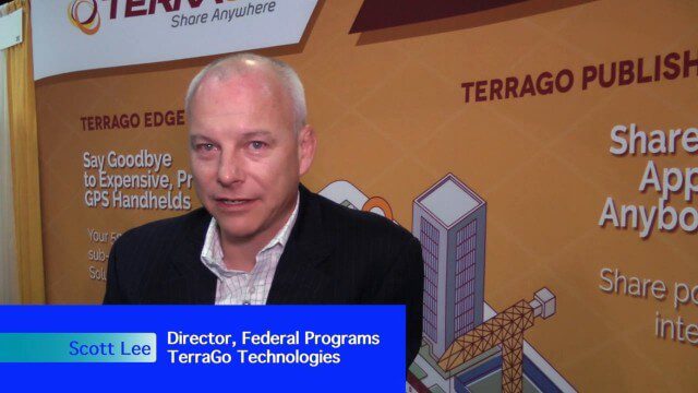
Pushing Geospatial Content to the Edge of the Enterprise
0 Views0 Comments0 Likes
The V1 Video team interviewed Scott Lee, director of Federal Programs at TerraGo Technologies, at the GEOINT Symposium in Washington, D.C. We spoke about how GeoPDF products are democratizing access to geospatial data, with extensive use of the tools in the defense and intelligence communities. The company is extending access via mobile devices and empowering the consumer to mark observations that then improve the quality and accuracy of geospatial information.

Richard Humphrey Autodesk Interview (Short Version)
0 Views0 Comments0 Likes
In this condensed version, Todd Danielson interviews Richard Humphrey, senior director, Infrastructure Products, Autodesk. They discuss how technology can help "bridge the gaps" in infrastructure spending, simulation services, and large-scale modeling.

Richard Humphrey Interview (Full-Length Version)
0 Views0 Comments0 Likes
Todd Danielson interviews Richard Humphrey, senior director, Infrastructure & Collaboration Products, Autodesk. They discuss how technology can help "bridge the gaps" in infrastructure spending, the Autodesk infrastructure product suite, simulation services, information unification, rules-based design platforms, large-scale modeling, and Autodesk's ReCap product.


