
Browse Archives
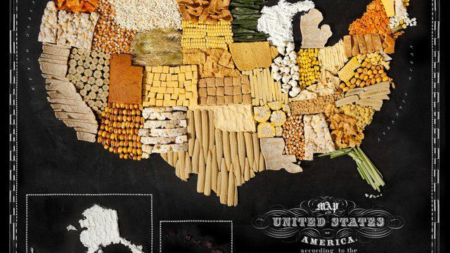
Food Maps
2.92K Views0 Comments0 Likes
These food maps created by Caitlin Levin and Henry Hargreaves originally were inspired by a passion for travel. Exploring new places through the food you eat is often a portal to the cultural complexities of that place.

3_31 Remote-Sensing Broadcast (Melting Ice, Deadly Air Pollution, Food Maps and More)
3.87K Views0 Comments0 Likes
This GeoSpatial Stream broadcast discusses the devastating flooding throughout Europe and how satellites are helping; the 2015 NOAA satellite budget; a new NASA imager for global precipitation; commercial remote-sensing distributors; Airbus Defense and Space and its involvement with Sentinel-5; satellites observing the formation of black holes; and more.
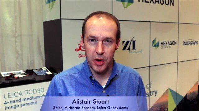
Alistair Stuart, Leica Geosystems, Interview
4.58K Views0 Comments0 Likes
Matt Ball interviews Alistair Stuart, sales of Airborne Sensors, Leica Geosystems. They discuss Leica's recent purchase of Aibotix and its Aibot X6 hexacopter. Stuart discusses the advantages of the UAS compared to other imagery vehicles in terms of cost, safety and portability.
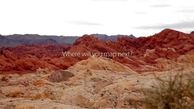
senseFly Mini Drones
2.12K Views0 Comments0 Likes
Imagine being able to see the world from a totally new point of view.
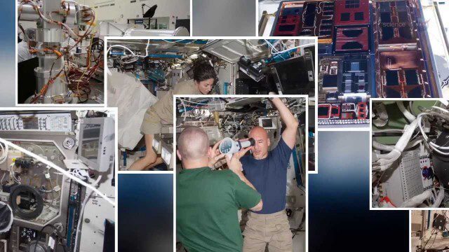
International Space Station Gets a Ten-Year Extension
1.95K Views0 Comments0 Likes

4_2 Infrastructure Broadcast (Landsat and Flood Risk, Cloud-Based Tools, and More)
2.73K Views0 Comments0 Likes
This infrastructure-focused GeoSpatial Stream broadcast discusses how Landsat is helping with flood risk to infrastructure; North Carolina using cloud-based property data; a Regional Road Construction Map in Spokane; industry news from Columbia Pipeline Group, Synergis, Cityworks and Bentley Systems; surveying in the British Virgin Islands; the Technology of Walking; and more.
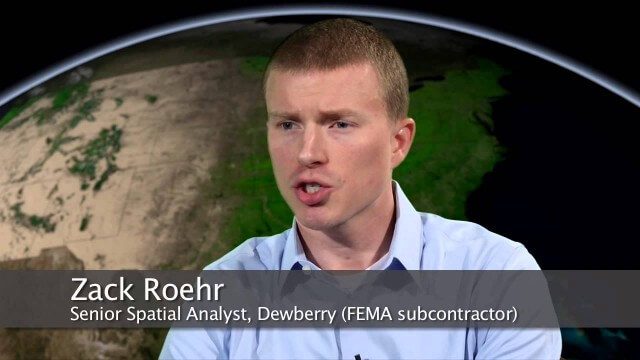
NASA | Landsat Tracks Urban Change and Flood Risk
1.77K Views0 Comments0 Likes
NASA | Landsat Tracks Urban Change and Flood Risk
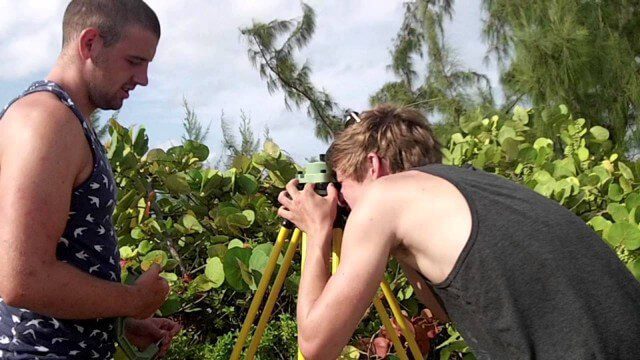
Surveying, Mapping and GIS Expedition to British Virgin Islands
1.81K Views0 Comments0 Likes
Surveying, Mapping and GIS Expedition to British Virgin Islands
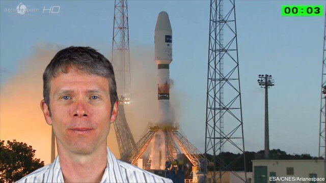
4_8 Precision-Agriculture Broadcast (Food and Fluorescence, Sentinel Launch, and More)
4.05K Views0 Comments0 Likes
This GeoSpatial Stream broadcast discusses how food production can be tracked via satellites; the launch of Sentinel-1A; maps of extractive industries and agriculture in Peru and Ghana; a satellite competition; industry news from URISA, Ordnance Survey, Open Geospatial Consortium and Leica Geosystems; and more.
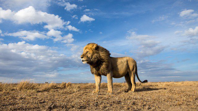
BeetleCam Project
2.08K Views0 Comments0 Likes
New video footage from BeetleCam in the Serengeti, plus announcing the new BeetleCam Hybrid!


