
Browse Archives
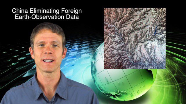
9_25 Asia-Pacific Broadcast (South China Sea, Earth Observation Data and More)
4.03K Views0 Comments0 Likes
This Asia-Pacific-focused GeoSpatial Stream broadcast discusses ongoing land and sea disputes in the South China Sea and how mapping is playing a role; China achieving its goal of decreasing foreign-sourced Earth-observation data; a near-miss for Vietnam's first Earth-Observation satellite; industry news from Supergeo, Esri and JSC Russian Space Systems; opinions on territorial disputes; and more.
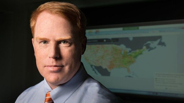
FCC Geographer Byrne Receives Medal for National Broadband Map
2.60K Views0 Comments0 Likes
As the FCC’s geographic information officer, Michael Byrne helped create online maps and present data in ways that have made enormous amounts of information instantly available to consumers, citizen-activists and policymakers, and provided the business community with facts to make more informed commercial decisions.
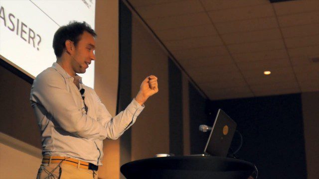
GeCo in the Rockies Keynote Discusses Power of Words for Location
5.18K Views0 Comments0 Likes
Chris Sheldrick from what3words delivered the keynote address at the GeCo in the Rockies event held Sept. 22-26, 2014, in Grand Junction, Colo. Sheldrick talked about how short combinations of words (three exactly) could be used to pinpoint every location in the world to within nine square meters.
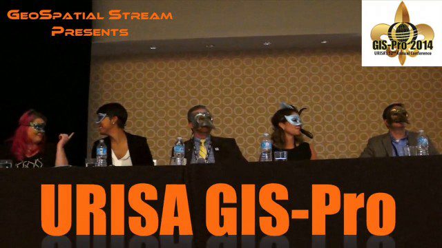
URISA’s GIS-Pro 2014: Big Results in Big Easy
11.14K Views2 Comments0 Likes
URISA's GIS-Pro 2014 was held Sept. 8-11, 2014, in New Orleans. Todd Danielson, GeoSpatial Stream publisher, was at the event and created this video recap.
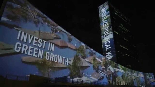
illUmiNations: Protecting our Planet
1.96K Views0 Comments0 Likes
United Nations General Assembly and Secretariat buildings lit up on Saturday night in a revolutionary call for climate action in connection with the Secretary-General's climate Summit. #climate2014. "illUmiNations: Protecting Our Planet" was collaboratively designed and produced for UNDPI by the Oceanic Preservation Society, Obscura Digital and Insurgent Media.
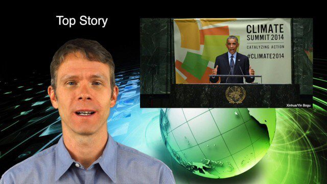
10_2 Climate Change Broadcast (UN Climate Summit, Tsunami Evacuation Maps and More)
5.06K Views0 Comments0 Likes
This GeoSpatial Stream broadcast discusses news and video from the UN Climate Summit, including President Obama announcing new geospatial tools and pledges to restore forest land; USGS developing a pedestrian tsunami-evacuation tool; industry news from exactEarth, Bentley Systems and Innovyze; a clip from the keynote address at the recent GeCo in the Rockies conference; and more.
Unleashing the Power of Earth Observations
1.72K Views0 Comments0 Likes
What do we see when we look at the Earth, and what do these observations mean for the years ahead? Barbara Ryan, secretariat director of the Intergovernmental Group on Earth Observations (GEO), discusses this Geneva-based, voluntary partnership of governments and organizations dedicated to coordinated, comprehensive, and sustained Earth observations and information — sharing what scientific observers worldwide are learning about the state and health of planet Earth.

The Global Sensor Network – University of South Australia
2.47K Views0 Comments0 Likes
Australia has a combined land and sea territory of more than 8 million square kilometers. Yet most of this is currently out of the reach of affordable communication. Now the University of South Australia's Institute for Telecommunications Research has turned this on its head, with the development of the Global Sensor Network. The Global Sensor Network is an innovative signal processing system which provides low cost, two-way, simultaeneous satellite communications to multiple users.
Draining the Ocean Basins with CryoSat-2
2.28K Views0 Comments0 Likes
This is the supplementary video for the scientific article "New global marine gravity model from CryoSat-2 and Jason-1 reveals buried tectonic structure". The full paper is available at: sciencemag.org/content/346/6205/65

10_9 Earth Imaging Broadcast (Land-Cover Change, Seafloor Maps and More)
4.67K Views0 Comments0 Likes
This GeoSpatial Stream broadcast discusses Earth Imaging news, including new USGS land-cover change models; new maps of the world's seafloor; NASA's Global Precipitation Measurement satellite; industry news from Rapidlasso, Sewall and Optech; an imaging drone from Intel's wearable technology contest; and more.


