
Browse Archives
600 km Above Earth’s Surface with HD Video (Skybox Imaging)
5.74K Views0 Comments0 Likes
Satellites help spot whales
3.74K Views0 Comments0 Likes

Richard Humphrey Interview (Full-Length Version)
4.34K Views0 Comments0 Likes
Todd Danielson interviews Richard Humphrey, senior director, Infrastructure & Collaboration Products, Autodesk. They discuss how technology can help "bridge the gaps" in infrastructure spending, the Autodesk infrastructure product suite, simulation services, information unification, rules-based design platforms, large-scale modeling, and Autodesk's ReCap product.
Live Planes in ViziCities using Plane Finder
3.17K Views0 Comments0 Likes
QuestUAV Parachute Landing
4.09K Views0 Comments0 Likes
Ron Roth and Anders Ekelund Interview
3.63K Views0 Comments0 Likes
Matt Ball interviews Ron Roth, product manager, Airborne LiDAR, Leica Geosystems, and Anders Ekelund, managing director, Airborne Hydrography AB. They discuss Leica's acquisition of Airborne Hydrography AB and the bathymetric products the company creates, including its Chiroptera system.
Exploring InfraWorks, Vegas Style Event (Full-Length Version)
3.29K Views0 Comments0 Likes
This full-length video summarizes the Exploring InfraWorks, Vegas Style event that took place during Autodesk University on Dec. 4, 2014. A bus trip explored the use of Autodesk technology to model the infrastructure of the city of Las Vegas. VTN Consulting is the main contractor on the project.

3_6 ILMF Broadcast (Conference Recap, USGS News, Aerial Imagery Market and More)
3.00K Views0 Comments0 Likes
This GeoSpatial Stream broadcast discusses the recent International LiDAR Mapping Forum, important USGS news, the future of the aerial imagery market, a map contest, and more.

“National Geographic” Time Scanners Jerusalem
3.09K Views0 Comments0 Likes
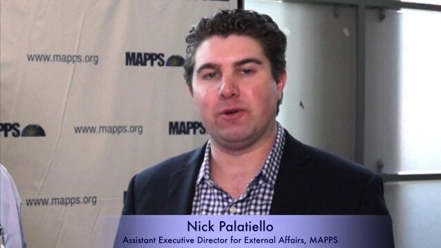
Nick Palatiello Interview
3.43K Views0 Comments0 Likes
Matt Ball interviews Nick Palatiello, Assistant Executive Director for External Affairs, MAPPS. They discuss the lobbying organization's history, agenda and how it works with government officials to advocate for the geospatial profession.


